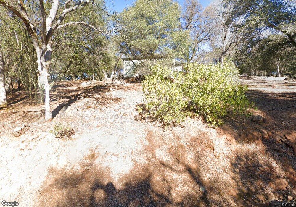
3340 Witt Rd Auburn, CA 95602
Estimated Value: $666,000 - $879,000
3
Beds
2
Baths
2,166
Sq Ft
$338/Sq Ft
Est. Value
About This Home
This home is located at 3340 Witt Rd, Auburn, CA 95602 and is currently estimated at $731,257, approximately $337 per square foot. 3340 Witt Rd is a home located in Placer County with nearby schools including Sierra Hills Elementary School, Weimar Hills, and Colfax High School.
Ownership History
Date
Name
Owned For
Owner Type
Purchase Details
Closed on
Nov 19, 2001
Sold by
Earles Cory D
Bought by
Montgomery Earl H and Montgomery Valerie
Current Estimated Value
Home Financials for this Owner
Home Financials are based on the most recent Mortgage that was taken out on this home.
Original Mortgage
$100,000
Outstanding Balance
$38,826
Interest Rate
6.63%
Mortgage Type
Purchase Money Mortgage
Estimated Equity
$692,431
Purchase Details
Closed on
Nov 15, 2001
Sold by
Earles Julie A
Bought by
Earles Cory D
Home Financials for this Owner
Home Financials are based on the most recent Mortgage that was taken out on this home.
Original Mortgage
$100,000
Outstanding Balance
$38,826
Interest Rate
6.63%
Mortgage Type
Purchase Money Mortgage
Estimated Equity
$692,431
Purchase Details
Closed on
Apr 4, 2001
Sold by
Roy Daniel J
Bought by
Earles Cory D and Earles Julie A
Home Financials for this Owner
Home Financials are based on the most recent Mortgage that was taken out on this home.
Original Mortgage
$300,000
Interest Rate
7.09%
Mortgage Type
Construction
Create a Home Valuation Report for This Property
The Home Valuation Report is an in-depth analysis detailing your home's value as well as a comparison with similar homes in the area
Purchase History
| Date | Buyer | Sale Price | Title Company |
|---|---|---|---|
| Montgomery Earl H | $404,000 | Old Republic Title Company | |
| Earles Cory D | -- | -- | |
| Earles Cory D | $110,000 | Old Republic Title Company |
Source: Public Records
Mortgage History
| Date | Status | Borrower | Loan Amount |
|---|---|---|---|
| Open | Montgomery Earl H | $100,000 | |
| Previous Owner | Earles Cory D | $300,000 |
Source: Public Records
Tax History
| Year | Tax Paid | Tax Assessment Tax Assessment Total Assessment is a certain percentage of the fair market value that is determined by local assessors to be the total taxable value of land and additions on the property. | Land | Improvement |
|---|---|---|---|---|
| 2025 | $6,021 | $596,806 | $177,264 | $419,542 |
| 2023 | $6,021 | $573,633 | $170,382 | $403,251 |
| 2022 | $5,825 | $562,387 | $167,042 | $395,345 |
| 2021 | $5,699 | $551,361 | $163,767 | $387,594 |
| 2020 | $5,633 | $545,708 | $162,088 | $383,620 |
| 2019 | $5,522 | $535,009 | $158,910 | $376,099 |
| 2018 | $5,326 | $524,520 | $155,795 | $368,725 |
| 2017 | $5,230 | $514,237 | $152,741 | $361,496 |
| 2016 | $5,119 | $504,155 | $149,747 | $354,408 |
| 2015 | $4,994 | $496,583 | $147,498 | $349,085 |
| 2014 | $4,918 | $486,856 | $144,609 | $342,247 |
Source: Public Records
Map
Nearby Homes
- 5475 Stanley Dr
- 3165 Ray Cir
- 5575 Stanley Dr
- 2653 Christian Valley Rd
- 6055 Stanley Dr
- 3110 Iron Mine Rd
- 14580 Mcelroy Rd
- 13399 Bell Brook Dr
- 6323 Virginia Dr
- 1632 The Point
- 1621 The Point
- 1811 Little Creek Rd
- 24316 Timber Ridge Dr
- 5181 Westridge Cir
- 1461 Lodge View Dr
- 1642 the Point Road Lot 297
- 0 Dry Creek Rd Unit 225060351
- 16441 Winchester Club Dr
- 16681-Lot 402 Winchester Club Dr
- 16688-Phase 6B Winchester Club Dr
Your Personal Tour Guide
Ask me questions while you tour the home.