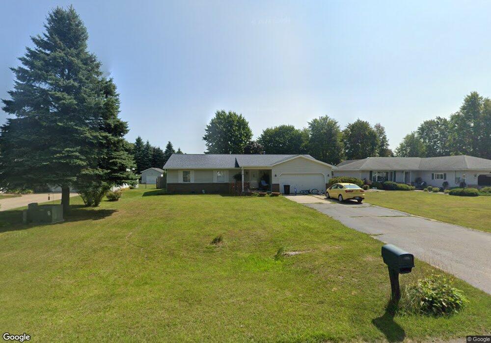
3342 Range Rd Port Huron, MI 48060
Estimated Value: $262,000 - $306,000
3
Beds
2
Baths
1,602
Sq Ft
$175/Sq Ft
Est. Value
About This Home
This home is located at 3342 Range Rd, Port Huron, MI 48060 and is currently estimated at $280,351, approximately $175 per square foot. 3342 Range Rd is a home located in St. Clair County with nearby schools including Michigamme Elementary School, Central Middle School, and Port Huron High School.
Ownership History
Date
Name
Owned For
Owner Type
Purchase Details
Closed on
Apr 25, 2011
Sold by
Secretary Of Housing & Urban Development
Bought by
Capps Katherine and Capps Julia
Current Estimated Value
Home Financials for this Owner
Home Financials are based on the most recent Mortgage that was taken out on this home.
Original Mortgage
$87,718
Outstanding Balance
$60,743
Interest Rate
4.88%
Mortgage Type
FHA
Estimated Equity
$219,608
Purchase Details
Closed on
Jun 30, 2010
Sold by
Chase Home Finance Llc
Bought by
Secretary Of Housing & Urban Development
Purchase Details
Closed on
Mar 25, 2010
Sold by
Munn Robin
Bought by
Chase Home Finance Llc
Create a Home Valuation Report for This Property
The Home Valuation Report is an in-depth analysis detailing your home's value as well as a comparison with similar homes in the area
Home Values in the Area
Average Home Value in this Area
Purchase History
| Date | Buyer | Sale Price | Title Company |
|---|---|---|---|
| Capps Katherine | $91,123 | None Available | |
| Secretary Of Housing & Urban Development | -- | None Available | |
| Chase Home Finance Llc | $189,845 | None Available |
Source: Public Records
Mortgage History
| Date | Status | Borrower | Loan Amount |
|---|---|---|---|
| Open | Capps Katherine | $87,718 |
Source: Public Records
Tax History
| Year | Tax Paid | Tax Assessment Tax Assessment Total Assessment is a certain percentage of the fair market value that is determined by local assessors to be the total taxable value of land and additions on the property. | Land | Improvement |
|---|---|---|---|---|
| 2025 | $1,432 | $117,800 | $0 | $0 |
| 2024 | $1,389 | $111,300 | $0 | $0 |
| 2023 | $1,282 | $95,000 | $0 | $0 |
| 2022 | $2,369 | $82,800 | $0 | $0 |
| 2020 | $2,169 | $69,000 | $0 | $69,000 |
| 2019 | $2,128 | $70,700 | $0 | $0 |
| 2018 | $2,078 | $70,700 | $0 | $0 |
| 2017 | $2,032 | $62,300 | $0 | $0 |
| 2016 | $1,052 | $62,300 | $0 | $0 |
| 2015 | -- | $60,200 | $0 | $60,200 |
| 2014 | -- | $59,400 | $59,400 | $0 |
| 2013 | -- | $59,100 | $0 | $0 |
Source: Public Records
Map
Nearby Homes
- 000 Atkins Rd Atkins Rd
- 0000 Atkins Atkins Rd
- 4224 Atkins Rd
- 3349 Charmwood Dr
- 4459 Cambridge Dr
- 3115 Spruce Dr
- 4167 N River Rd
- 3345 Beach Rd
- 3971 N River Rd
- 4570 Atkins Rd
- 3625 Angus Rd
- 3639 Teeple Ave
- Lot #9 Thornton Dr
- 3679 Old Farm Ln
- 3559 Lightle Rd
- 3669 Connie Ln
- 4911 Castlewood Dr
- 3075 Westcott Dr
- 3803 Grant Ave
- VL Oxbow Dr
Your Personal Tour Guide
Ask me questions while you tour the home.