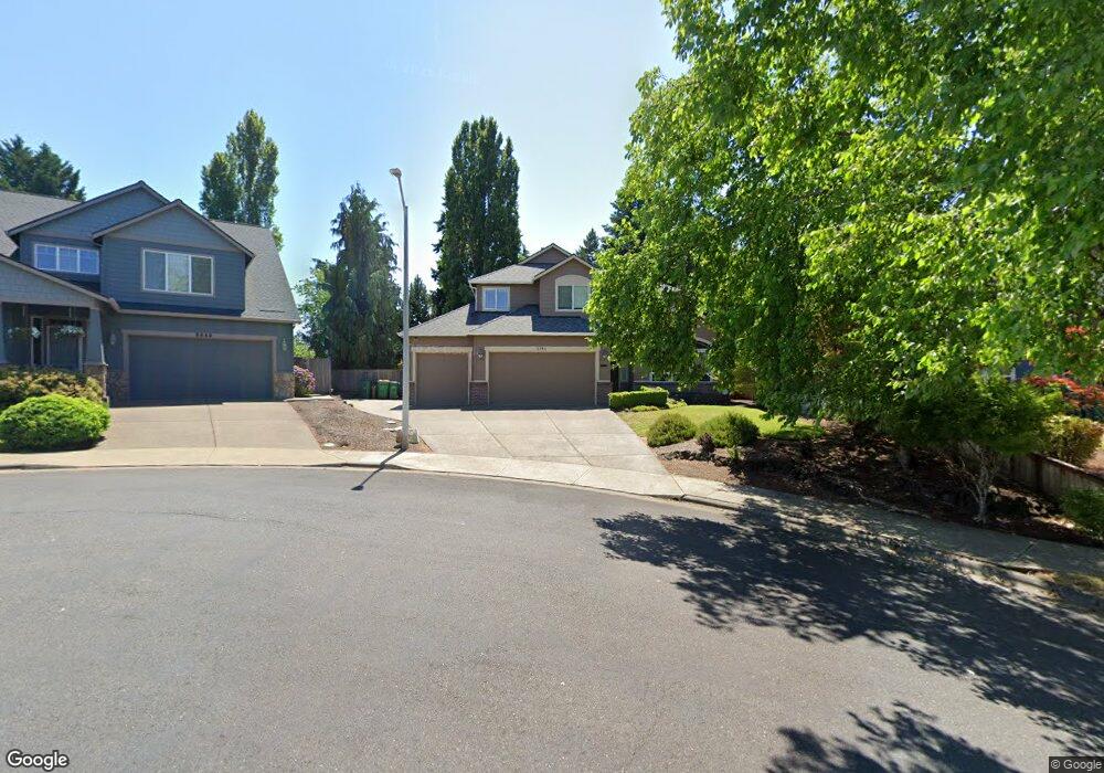
3343 Cedar Edge Ct Forest Grove, OR 97116
Estimated Value: $661,274 - $700,000
4
Beds
3
Baths
2,397
Sq Ft
$284/Sq Ft
Est. Value
About This Home
This home is located at 3343 Cedar Edge Ct, Forest Grove, OR 97116 and is currently estimated at $680,569, approximately $283 per square foot. 3343 Cedar Edge Ct is a home located in Washington County with nearby schools including Harvey Clarke Elementary School, Tom McCall Upper Elementary School, and Neil Armstrong Middle School.
Ownership History
Date
Name
Owned For
Owner Type
Purchase Details
Closed on
Dec 18, 2003
Sold by
Robbins Scott N
Bought by
Hammond Phillip D and Hammond Stephanie M
Current Estimated Value
Home Financials for this Owner
Home Financials are based on the most recent Mortgage that was taken out on this home.
Original Mortgage
$237,500
Outstanding Balance
$109,003
Interest Rate
5.97%
Mortgage Type
Unknown
Estimated Equity
$571,566
Purchase Details
Closed on
Jun 13, 2002
Sold by
Ralston Investments Inc
Bought by
Robbins Scott N
Create a Home Valuation Report for This Property
The Home Valuation Report is an in-depth analysis detailing your home's value as well as a comparison with similar homes in the area
Purchase History
| Date | Buyer | Sale Price | Title Company |
|---|---|---|---|
| Hammond Phillip D | $297,500 | Multiple | |
| Robbins Scott N | $133,000 | Chicago Title |
Source: Public Records
Mortgage History
| Date | Status | Borrower | Loan Amount |
|---|---|---|---|
| Open | Hammond Phillip D | $237,500 | |
| Closed | Hammond Phillip D | $30,000 |
Source: Public Records
Tax History
| Year | Tax Paid | Tax Assessment Tax Assessment Total Assessment is a certain percentage of the fair market value that is determined by local assessors to be the total taxable value of land and additions on the property. | Land | Improvement |
|---|---|---|---|---|
| 2026 | $7,623 | $428,070 | -- | -- |
| 2025 | $7,623 | $415,610 | -- | -- |
| 2024 | $7,354 | $403,510 | -- | -- |
| 2023 | $7,354 | $391,760 | $0 | $0 |
| 2022 | $6,430 | $391,760 | $0 | $0 |
| 2021 | $6,347 | $369,280 | $0 | $0 |
| 2020 | $6,313 | $358,530 | $0 | $0 |
| 2019 | $6,172 | $348,090 | $0 | $0 |
| 2018 | $5,983 | $337,960 | $0 | $0 |
| 2017 | $5,798 | $328,120 | $0 | $0 |
| 2016 | $5,635 | $318,570 | $0 | $0 |
| 2015 | $5,418 | $309,300 | $0 | $0 |
| 2014 | $5,392 | $300,300 | $0 | $0 |
Source: Public Records
Map
Nearby Homes
- 3327 Hillcrest Way
- 3407 Glade Ave
- 3373 Lavina Dr
- 3290 Ridge Pointe Dr
- 2394 NW Creekwood Place
- 484 Ruca Ct
- 488 Ruca Ct
- 3022 Watercrest Rd
- 387 Jessica Dr
- 0 David Hill Unit 20160858
- 719 Glade Ave
- 731 Glade Ave
- 45157 NW David Hill Rd
- 3403 Glade Ave
- 727 Glade Ave
- 44725 NW David Hill Rd
- 735 Glade Ave
- 3314 Butte Dr
- 3308 Butte Dr
- 3260 Misty Ln
- 3349 Cedar Edge Ct
- 3337 Edgeview Ln
- 3331 Edgeview Ln
- 3326 Catching Ct
- 3323 Catching Ct
- 0 Cedar Edge Ct
- 3355 Cedar Edge Ct
- 3325 Edgeview Ln
- 3322 Forest Gale Dr
- 3324 Forest Gale Dr
- 3361 Cedar Edge Ct
- 3373 Edgeview Ln
- 3318 Forest Gale Dr
- 3320 Catching Ct
- 3367 Cedar Edge Ct
- 3346 Edgeview Ln
- 3328 Forest Gale Relisted
- 3328 Forest Gale Dr
- 3319 Edgeview Ln
- 3340 Edgeview Ln
Your Personal Tour Guide
Ask me questions while you tour the home.