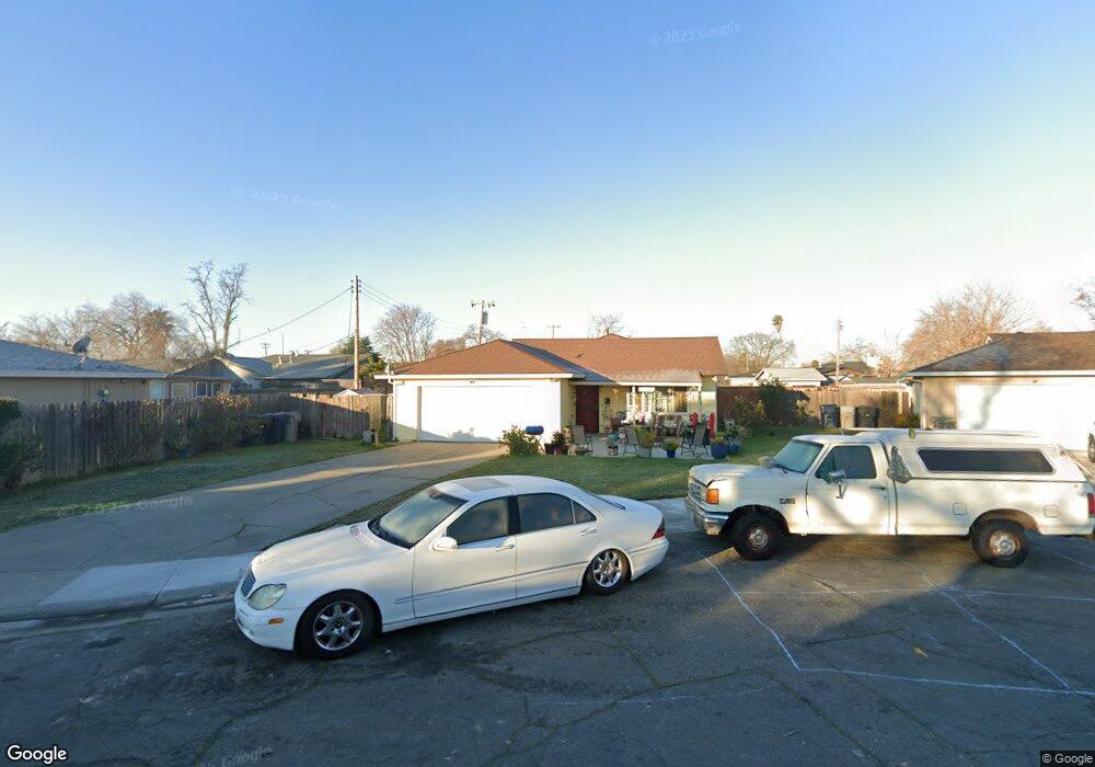
3345 Swaim Ct Sacramento, CA 95838
Strawberry Manor NeighborhoodEstimated Value: $288,000 - $393,800
3
Beds
1
Bath
1,026
Sq Ft
$348/Sq Ft
Est. Value
About This Home
This home is located at 3345 Swaim Ct, Sacramento, CA 95838 and is currently estimated at $356,700, approximately $347 per square foot. 3345 Swaim Ct is a home located in Sacramento County with nearby schools including Fairbanks Elementary School, Martin Luther King Jr. Technology Academy, and Grant Union High School.
Ownership History
Date
Name
Owned For
Owner Type
Purchase Details
Closed on
Nov 3, 2005
Sold by
Pratt Jacklyn and Leslie Campbell Family Trust
Bought by
Davie Kim L
Current Estimated Value
Home Financials for this Owner
Home Financials are based on the most recent Mortgage that was taken out on this home.
Original Mortgage
$204,000
Outstanding Balance
$133,113
Interest Rate
9.37%
Mortgage Type
Fannie Mae Freddie Mac
Estimated Equity
$223,587
Purchase Details
Closed on
Apr 25, 1995
Sold by
Campbell Leslie A
Bought by
Campbell Leslie
Create a Home Valuation Report for This Property
The Home Valuation Report is an in-depth analysis detailing your home's value as well as a comparison with similar homes in the area
Home Values in the Area
Average Home Value in this Area
Purchase History
| Date | Buyer | Sale Price | Title Company |
|---|---|---|---|
| Davie Kim L | -- | First American Title Company | |
| Campbell Leslie | -- | -- |
Source: Public Records
Mortgage History
| Date | Status | Borrower | Loan Amount |
|---|---|---|---|
| Open | Davie Kim L | $204,000 |
Source: Public Records
Tax History Compared to Growth
Tax History
| Year | Tax Paid | Tax Assessment Tax Assessment Total Assessment is a certain percentage of the fair market value that is determined by local assessors to be the total taxable value of land and additions on the property. | Land | Improvement |
|---|---|---|---|---|
| 2025 | $5,464 | $365,187 | $153,321 | $211,866 |
| 2024 | $5,464 | $358,027 | $150,315 | $207,712 |
| 2023 | $4,314 | $351,008 | $147,368 | $203,640 |
| 2022 | $3,999 | $338,000 | $95,000 | $243,000 |
| 2021 | $3,128 | $218,686 | $91,810 | $126,876 |
| 2020 | $3,549 | $190,162 | $79,835 | $110,327 |
| 2019 | $3,010 | $172,876 | $72,578 | $100,298 |
| 2018 | $2,150 | $161,567 | $67,830 | $93,737 |
| 2017 | $1,884 | $146,880 | $61,664 | $85,216 |
| 2016 | $1,711 | $131,144 | $55,058 | $76,086 |
| 2015 | $1,527 | $121,430 | $50,980 | $70,450 |
| 2014 | $3,416 | $111,404 | $46,771 | $64,633 |
Source: Public Records
Map
Nearby Homes
- 201 Graves Ave
- 0000 Fairbanks Ave
- 000 Fairbanks Ave
- 131 Silver Eagle Rd
- 85 Silver Eagle Rd
- 176 Danville Way
- 3349 Western Ave
- 255 Silver Eagle Rd
- 91 Danville Way
- 106 Barton Way
- 3270 Nareb St
- 256 Olmstead Dr
- 3481 Norwood Ave
- 343 South Ave
- 299 Christine Dr
- 250 Morey Ave
- 3529 Mobile Way
- 322 Tenaya Ave
- 3515 Pike Ave
- 517 Rimmer Ave
- 3355 Swaim Ct
- 135 Butterworth Ave
- 139 Butterworth Ave
- 131 Butterworth Ave
- 3344 Phillips Ct
- 3365 Swaim Ct
- 125 Butterworth Ave
- 3354 Phillips Ct
- 3344 Swaim Ct
- 149 Butterworth Ave
- 3354 Swaim Ct
- 128 Ford Rd
- 119 Butterworth Ave
- 134 Butterworth Ave
- 3364 Swaim Ct
- 124 Ford Rd
- 130 Butterworth Ave
- 138 Butterworth Ave
- 120 Ford Rd
- 124 Butterworth Ave