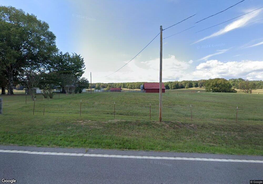
33465 State Highway 58 N Ten Mile, TN 37880
Estimated Value: $249,000
--
Bed
1
Bath
1,200
Sq Ft
$208/Sq Ft
Est. Value
About This Home
This home is located at 33465 State Highway 58 N, Ten Mile, TN 37880 and is currently estimated at $249,000, approximately $207 per square foot. 33465 State Highway 58 N is a home located in Meigs County with nearby schools including Meigs County High School.
Ownership History
Date
Name
Owned For
Owner Type
Purchase Details
Closed on
Oct 29, 2019
Sold by
Pettit Tina Denise
Bought by
Hixson William D and Hixson Pamela J
Current Estimated Value
Purchase Details
Closed on
Nov 15, 2018
Sold by
Pettit Tina Denise
Bought by
Colyer Ronald W and Colyer Shelia F
Purchase Details
Closed on
Mar 29, 2017
Sold by
Pettit Tina Denise
Bought by
Colyer Ronald W and Colyer Shelia F
Purchase Details
Closed on
Apr 28, 1970
Bought by
Crabtree William S and Crabtree Opal R
Create a Home Valuation Report for This Property
The Home Valuation Report is an in-depth analysis detailing your home's value as well as a comparison with similar homes in the area
Home Values in the Area
Average Home Value in this Area
Purchase History
| Date | Buyer | Sale Price | Title Company |
|---|---|---|---|
| Hixson William D | $67,500 | -- | |
| Hixson William D | $67,500 | -- | |
| Colyer Ronald W | $120,000 | -- | |
| Colyer Ronald W | $120,000 | -- | |
| Colyer Ronald W | $105,000 | -- | |
| Colyer Ronald W | $105,000 | -- | |
| Crabtree William S | -- | -- | |
| Crabtree William S | -- | -- |
Source: Public Records
Tax History Compared to Growth
Tax History
| Year | Tax Paid | Tax Assessment Tax Assessment Total Assessment is a certain percentage of the fair market value that is determined by local assessors to be the total taxable value of land and additions on the property. | Land | Improvement |
|---|---|---|---|---|
| 2025 | $154 | $9,125 | $0 | $0 |
| 2024 | $154 | $9,125 | $9,125 | $0 |
| 2023 | $154 | $9,125 | $9,125 | $0 |
| 2022 | $154 | $9,125 | $9,125 | $0 |
| 2021 | $154 | $9,125 | $9,125 | $0 |
| 2020 | $139 | $9,125 | $9,125 | $0 |
| 2019 | $139 | $7,025 | $7,025 | $0 |
| 2018 | $529 | $27,400 | $12,325 | $15,075 |
| 2017 | $759 | $26,675 | $12,325 | $14,350 |
| 2016 | $759 | $38,325 | $23,975 | $14,350 |
| 2015 | $718 | $38,325 | $23,975 | $14,350 |
| 2014 | $694 | $37,050 | $22,850 | $14,200 |
Source: Public Records
Map
Nearby Homes
- 2 Keylon Hollow Rd
- Lot 1 Keylon Hollow Rd
- Lot 2 Keylon Hollow Rd
- 236 Branham Ln
- 1541 Dogtown Rd
- 4290 River Rd
- 0 Maple Grove Rd
- 0 Dogtown Rd
- 4957 Decatur Hwy
- Lot 108 Treasure Tree Rd
- Lot 107 Treasure Tree Rd
- 102 Halfmoon Shores Dr
- Lot 103 Halfmoon Shores Dr
- 114 Christley Ln
- 304 Blue Springs Cir
- 104 Christley Ln
- 31 River Rd
- 190 Bayview Dr
- 1440 Dry Fork Valley Rd
- 115 Hughes Hollow Rd
- 33607 State Highway 58 N
- 267 Keylon Hollow Rd
- 33183 State Highway 58 N
- 33703 State Highway 58 N
- 33726 State Highway 58 N
- 305 Pickle Rd
- 298 Pickle Rd
- 115 Pickle Rd
- 225 Keylon Hollow Rd
- 32724 State Highway 58 N
- 5304 Decatur Hwy
- 5162 Old Ten Mile Rd
- 468 West Cir
- 472 West Cir
- 488 West Cir
- 434 West Cir
- 4 Keylon Hollow Rd
- 480 West Cir
- 0 Keylon Hollow Rd Unit 20110815
- 0 Keylon Hollow Rd Unit 623099
