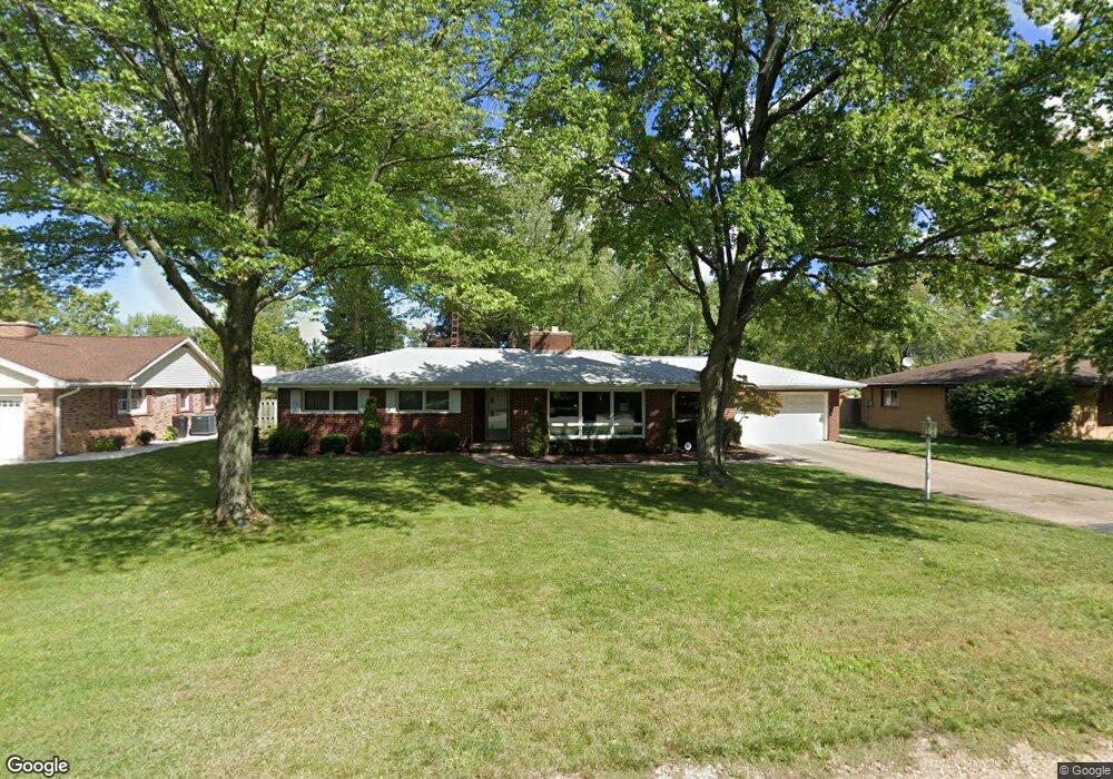
335 Chippewa Rd Benton Harbor, MI 49022
Fair Plain NeighborhoodEstimated Value: $209,000 - $248,000
3
Beds
2
Baths
1,592
Sq Ft
$145/Sq Ft
Est. Value
About This Home
This home is located at 335 Chippewa Rd, Benton Harbor, MI 49022 and is currently estimated at $230,406, approximately $144 per square foot. 335 Chippewa Rd is a home located in Berrien County with nearby schools including Fair Plain Middle School, Benton Harbor High School, and Benton Harbor Charter School Academy.
Ownership History
Date
Name
Owned For
Owner Type
Purchase Details
Closed on
Feb 1, 2023
Sold by
Singer James W
Bought by
James W Singer Trust
Current Estimated Value
Purchase Details
Closed on
Nov 21, 2006
Sold by
Singer Thomas Benton
Bought by
Singer James W
Home Financials for this Owner
Home Financials are based on the most recent Mortgage that was taken out on this home.
Original Mortgage
$104,000
Interest Rate
6.4%
Mortgage Type
Purchase Money Mortgage
Purchase Details
Closed on
Sep 24, 1996
Create a Home Valuation Report for This Property
The Home Valuation Report is an in-depth analysis detailing your home's value as well as a comparison with similar homes in the area
Home Values in the Area
Average Home Value in this Area
Purchase History
| Date | Buyer | Sale Price | Title Company |
|---|---|---|---|
| James W Singer Trust | -- | -- | |
| Singer James W | $65,000 | Cti | |
| Singer James W | -- | None Available | |
| -- | $100 | -- |
Source: Public Records
Mortgage History
| Date | Status | Borrower | Loan Amount |
|---|---|---|---|
| Previous Owner | Singer James W | $104,000 |
Source: Public Records
Tax History
| Year | Tax Paid | Tax Assessment Tax Assessment Total Assessment is a certain percentage of the fair market value that is determined by local assessors to be the total taxable value of land and additions on the property. | Land | Improvement |
|---|---|---|---|---|
| 2025 | $1,688 | $104,500 | $0 | $0 |
| 2024 | $1,007 | $83,800 | $0 | $0 |
| 2023 | $959 | $64,500 | $0 | $0 |
| 2022 | $913 | $61,000 | $0 | $0 |
| 2021 | $1,476 | $63,900 | $14,800 | $49,100 |
| 2020 | $1,375 | $63,400 | $0 | $0 |
| 2019 | $1,321 | $52,900 | $7,000 | $45,900 |
| 2018 | $1,244 | $52,900 | $0 | $0 |
| 2017 | $1,227 | $50,700 | $0 | $0 |
| 2016 | $1,192 | $50,400 | $0 | $0 |
| 2015 | $1,189 | $46,000 | $0 | $0 |
| 2014 | $826 | $48,300 | $0 | $0 |
Source: Public Records
Map
Nearby Homes
- 298 Bradford Rd
- 1772 Lombard St
- 379 Western Ave
- 1295 Pontiac Rd
- 1298 Colfax Ave
- 1968 Colfax Ave
- 180 Emery Ave
- 161 Eloise Dr
- V/L Mcalister
- 478 Gary Ave
- 167 E Delaware Ave
- 1593 Columbus Ave
- 1238 Broadway
- 205 Jamesway
- 1216 Broadway
- 266 Parker Ave
- 2511 Riverwood Terrace
- 389 Parker Ave
- 244 Downey Dr
- 377 Parker Ave
- 349 Chippewa Rd
- 321 Chippewa Rd
- 1573 Shawnee Rd
- 1560 Hadley Rd
- 1555 Shawnee Rd
- 1556 Hadley Rd
- 1556 Hadley Rd
- 0 Chippewa Rd
- 348 Chippewa Rd
- 1594 Shawnee Rd
- 1591 Hadley Rd
- 370 Chippewa Rd
- 366 Bradford Rd
- 1625 Shawnee Rd
- 1574 Shawnee Rd
- 1573 Hadley Rd
- 400 Chippewa Rd
- 1545 Shawnee Rd
- 303 Chippewa Rd
- 362 Bradford Rd
Your Personal Tour Guide
Ask me questions while you tour the home.