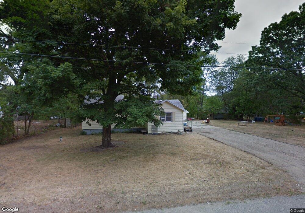
335 Cohasset Ave Battle Creek, MI 49014
Estimated Value: $91,000 - $145,000
3
Beds
1
Bath
1,354
Sq Ft
$90/Sq Ft
Est. Value
About This Home
This home is located at 335 Cohasset Ave, Battle Creek, MI 49014 and is currently estimated at $122,206, approximately $90 per square foot. 335 Cohasset Ave is a home located in Calhoun County with nearby schools including Verona Elementary School, Springfield Middle School, and Battle Creek Central High School.
Ownership History
Date
Name
Owned For
Owner Type
Purchase Details
Closed on
Jul 17, 2025
Sold by
Goheen Patricia
Bought by
First National Bank Of America
Current Estimated Value
Purchase Details
Closed on
Aug 9, 2020
Sold by
Root Orlando G and Root Christy Lou
Bought by
Root Orlando G and Root Christy Lou
Purchase Details
Closed on
Feb 26, 2007
Sold by
Crippen Debra and Love Debra
Bought by
Knight Steven and Knight Shannon
Home Financials for this Owner
Home Financials are based on the most recent Mortgage that was taken out on this home.
Original Mortgage
$64,450
Interest Rate
6.28%
Mortgage Type
Purchase Money Mortgage
Create a Home Valuation Report for This Property
The Home Valuation Report is an in-depth analysis detailing your home's value as well as a comparison with similar homes in the area
Home Values in the Area
Average Home Value in this Area
Purchase History
| Date | Buyer | Sale Price | Title Company |
|---|---|---|---|
| First National Bank Of America | $66,035 | None Listed On Document | |
| Root Orlando G | -- | None Available | |
| Knight Steven | $70,000 | Nta |
Source: Public Records
Mortgage History
| Date | Status | Borrower | Loan Amount |
|---|---|---|---|
| Previous Owner | Knight Steven | $64,450 |
Source: Public Records
Tax History Compared to Growth
Tax History
| Year | Tax Paid | Tax Assessment Tax Assessment Total Assessment is a certain percentage of the fair market value that is determined by local assessors to be the total taxable value of land and additions on the property. | Land | Improvement |
|---|---|---|---|---|
| 2025 | $1,812 | $55,350 | $0 | $0 |
| 2024 | $547 | $48,070 | $0 | $0 |
| 2023 | $1,639 | $39,160 | $0 | $0 |
| 2022 | $496 | $33,200 | $0 | $0 |
| 2021 | $1,532 | $27,200 | $0 | $0 |
| 2020 | $1,538 | $27,000 | $0 | $0 |
| 2019 | $898 | $27,050 | $0 | $0 |
| 2018 | $1,264 | $24,900 | $2,400 | $22,500 |
| 2017 | $1,264 | $23,850 | $0 | $0 |
| 2016 | $1,264 | $23,200 | $0 | $0 |
| 2015 | $439 | $21,750 | $7,205 | $14,545 |
| 2014 | $439 | $22,150 | $7,205 | $14,945 |
Source: Public Records
Map
Nearby Homes
- 329 Vass Ave
- 0 Rook St Unit 25019652
- 153 Martin St
- 140 Princeton St S
- 113 Rook Ct
- 23 Bradford St
- 605 Westbrook Ave
- 0 E River Rd
- 52 Maple Grove Ave
- 45 Traverse St
- 85 East Ave S
- 0 Pickford Ave
- 723 Capital Ave NE
- 28 Convis St
- 15 Sanderson St
- 28 East Ave S
- 186 Bryant St
- 179 Bryant St
- 226 Nixon
- 488 Capital Ave NE
- 329 Cohasset Ave
- 210 Theodore St
- 212 Theodore St
- 208 Theodore St
- 325 Cohasset Ave
- 349 Cohasset Ave
- 344 Cohasset Ave
- 220 Theodore St
- 209 Theodore St
- 211 Theodore St
- 356 Cohasset Ave
- 205 Theodore St
- 325 Wildwood Ave
- 423 Wildwood Ave
- 427 Wildwood Ave
- 219 Theodore St
- 314 Cohasset Ave
- 309 Cohasset Ave
- 506 Funston Ave
- 420 Funston Ave