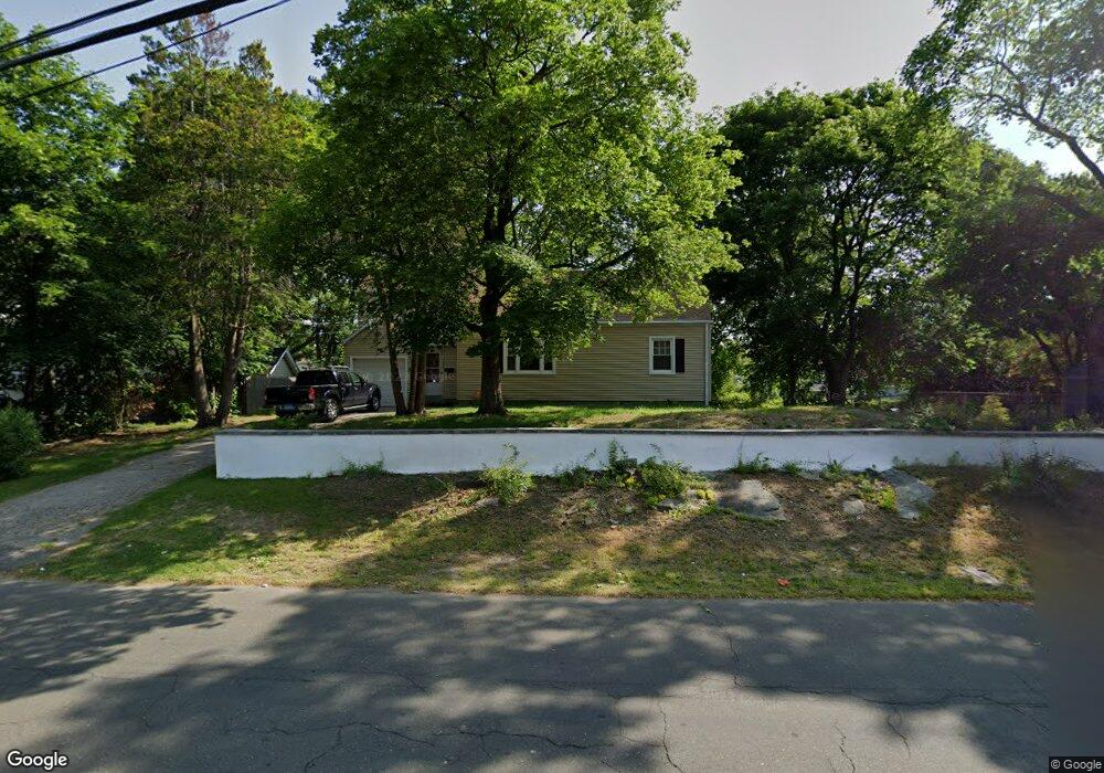
335 Evers St Bridgeport, CT 06610
North Bridgeport NeighborhoodEstimated Value: $370,000 - $525,000
4
Beds
2
Baths
1,677
Sq Ft
$262/Sq Ft
Est. Value
About This Home
This home is located at 335 Evers St, Bridgeport, CT 06610 and is currently estimated at $439,772, approximately $262 per square foot. 335 Evers St is a home located in Fairfield County with nearby schools including Hooker School, Harding High School, and Achievement First Bridgeport Academy Elementary School.
Ownership History
Date
Name
Owned For
Owner Type
Purchase Details
Closed on
Feb 1, 1996
Sold by
Hartnett John D and Hartnett Cheryl A
Bought by
Gooden Hubert B
Current Estimated Value
Home Financials for this Owner
Home Financials are based on the most recent Mortgage that was taken out on this home.
Original Mortgage
$79,200
Interest Rate
7.25%
Mortgage Type
Unknown
Create a Home Valuation Report for This Property
The Home Valuation Report is an in-depth analysis detailing your home's value as well as a comparison with similar homes in the area
Home Values in the Area
Average Home Value in this Area
Purchase History
| Date | Buyer | Sale Price | Title Company |
|---|---|---|---|
| Gooden Hubert B | $88,000 | -- | |
| Gooden Hubert B | $88,000 | -- |
Source: Public Records
Mortgage History
| Date | Status | Borrower | Loan Amount |
|---|---|---|---|
| Closed | Gooden Hubert B | $75,000 | |
| Closed | Gooden Hubert B | $79,200 |
Source: Public Records
Tax History
| Year | Tax Paid | Tax Assessment Tax Assessment Total Assessment is a certain percentage of the fair market value that is determined by local assessors to be the total taxable value of land and additions on the property. | Land | Improvement |
|---|---|---|---|---|
| 2025 | $6,971 | $160,440 | $65,290 | $95,150 |
| 2024 | $6,971 | $160,440 | $65,290 | $95,150 |
| 2023 | $6,971 | $160,440 | $65,290 | $95,150 |
| 2022 | $6,971 | $160,440 | $65,290 | $95,150 |
| 2021 | $6,971 | $160,440 | $65,290 | $95,150 |
| 2020 | $6,967 | $129,050 | $53,560 | $75,490 |
| 2019 | $6,967 | $129,050 | $53,560 | $75,490 |
| 2018 | $7,016 | $129,050 | $53,560 | $75,490 |
| 2017 | $7,016 | $129,050 | $53,560 | $75,490 |
| 2016 | $7,016 | $129,050 | $53,560 | $75,490 |
| 2015 | $6,119 | $144,990 | $52,340 | $92,650 |
| 2014 | $6,119 | $144,990 | $52,340 | $92,650 |
Source: Public Records
Map
Nearby Homes
- 119 Jennings Ave
- 120 Huntington Turnpike Unit 202
- 132 Virginia Ave Unit 132
- 211 Louisiana Ave Unit D
- 186 Louisiana Ave Unit D
- 11 Nob Hill Cir
- 261 Pennsylvania Ave
- 33 Louisiana Ave Unit 35
- 3699 Broadbridge Ave Unit 330
- 3699 Broadbridge Ave Unit 101
- 285 Hillcrest Rd
- 250 Dayton Rd
- 207 Hillcrest Rd
- 156 Dayton Rd
- 74 Hollywood Ave
- 11 Knollcrest Dr
- 2100-2102 E Main St
- 2092-2096 E Main St
- 46 York St
- 72 Broadmere Rd
- 334 Evers St Unit 336
- 344 Evers St Unit 346
- 344 Evers St Unit 2
- 336 Evers St
- 359 Evers St
- 321 Evers St
- 360 Evers St Unit 362
- 23 Sturtevant Place
- 154 Nutmeg Rd
- 25 Sturtevant Place
- 372 Evers St Unit 374
- 76 Evers Place
- 140 Nutmeg Rd
- 303 Evers St
- 15 Ronald Cir
- 374 Evers St
- 35 Ronald Cir
- 0 Sturtevant Place Unit 23
- 50-52 Priscilla Cir
- 51 Ronald Cir
Your Personal Tour Guide
Ask me questions while you tour the home.