335 Park St Watervliet, MI 49098
Estimated Value: $134,000 - $176,000
4
Beds
2
Baths
1,592
Sq Ft
$97/Sq Ft
Est. Value
About This Home
This home is located at 335 Park St, Watervliet, MI 49098 and is currently estimated at $154,785, approximately $97 per square foot. 335 Park St is a home located in Berrien County with nearby schools including South Elementary School, North Elementary School, and Watervliet Middle School.
Ownership History
Date
Name
Owned For
Owner Type
Purchase Details
Closed on
Nov 8, 2004
Sold by
Austin Rodney A and Austin Connie S
Bought by
Pulley Bill
Current Estimated Value
Home Financials for this Owner
Home Financials are based on the most recent Mortgage that was taken out on this home.
Original Mortgage
$68,817
Outstanding Balance
$34,525
Interest Rate
5.86%
Mortgage Type
FHA
Estimated Equity
$120,260
Purchase Details
Closed on
Jun 17, 2004
Sold by
Ramirez Alex B and Ramirez Nelly G
Bought by
Austin Rodney A and Austin Connie S
Purchase Details
Closed on
Sep 5, 1989
Purchase Details
Closed on
May 3, 1989
Purchase Details
Closed on
Nov 15, 1978
Purchase Details
Closed on
Nov 3, 1977
Purchase Details
Closed on
Oct 3, 1977
Create a Home Valuation Report for This Property
The Home Valuation Report is an in-depth analysis detailing your home's value as well as a comparison with similar homes in the area
Home Values in the Area
Average Home Value in this Area
Purchase History
| Date | Buyer | Sale Price | Title Company |
|---|---|---|---|
| Pulley Bill | $69,900 | Chicago Title Of Michigan | |
| Austin Rodney A | $45,000 | -- | |
| -- | $8,000 | -- | |
| -- | -- | -- | |
| -- | $27,800 | -- | |
| -- | $20,000 | -- | |
| -- | $10,000 | -- |
Source: Public Records
Mortgage History
| Date | Status | Borrower | Loan Amount |
|---|---|---|---|
| Open | Pulley Bill | $68,817 |
Source: Public Records
Tax History
| Year | Tax Paid | Tax Assessment Tax Assessment Total Assessment is a certain percentage of the fair market value that is determined by local assessors to be the total taxable value of land and additions on the property. | Land | Improvement |
|---|---|---|---|---|
| 2025 | $1,688 | $66,000 | $0 | $0 |
| 2024 | $1,333 | $61,400 | $0 | $0 |
| 2023 | $1,280 | $51,900 | $0 | $0 |
| 2022 | $1,029 | $49,800 | $0 | $0 |
| 2021 | $1,492 | $48,200 | $4,300 | $43,900 |
| 2020 | $1,479 | $42,100 | $0 | $0 |
| 2019 | $1,252 | $31,700 | $4,600 | $27,100 |
| 2018 | $1,220 | $31,700 | $0 | $0 |
| 2017 | $1,202 | $30,900 | $0 | $0 |
| 2016 | $1,178 | $27,900 | $0 | $0 |
| 2015 | $1,188 | $25,700 | $0 | $0 |
| 2014 | $1,048 | $25,500 | $0 | $0 |
Source: Public Records
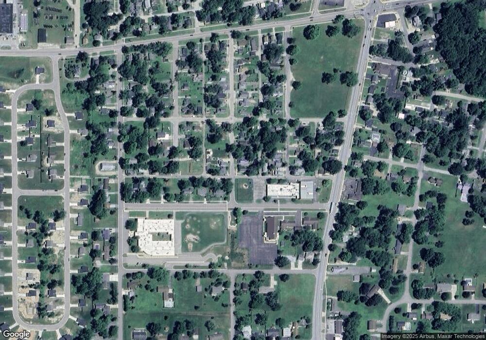
Map
Nearby Homes
- 0 Highway M-140
- 127 N Pleasant St
- 234 W Pleasant St
- 340 High View St
- 8203 Verlynda Dr
- 0 Red Arrow Hwy Unit 25050745
- 7604 Red Arrow Hwy Unit 149
- 311 Lewis St
- 422 Paw Ave
- 924 Richard Ave
- 7349 Red Arrow Hwy
- 518 Dogwood Ln Unit 18
- 596 Water's Way
- 513 Hickory Ln
- 909 Western Ave
- 331 E Parsons Ave
- 915 & 927 Western Ave
- 0 Huntoon Ave
- 704 & 712 Courtyard Place
- 4875 N Watervliet Rd
Your Personal Tour Guide
Ask me questions while you tour the home.