335 W Bristol Rd Southampton, PA 18966
Estimated Value: $425,000 - $598,000
3
Beds
2
Baths
1,664
Sq Ft
$323/Sq Ft
Est. Value
About This Home
This home is located at 335 W Bristol Rd, Southampton, PA 18966 and is currently estimated at $536,808, approximately $322 per square foot. 335 W Bristol Rd is a home located in Bucks County with nearby schools including Maureen M. Welch Elementary School, Richboro Middle School, and Council Rock High School - South.
Ownership History
Date
Name
Owned For
Owner Type
Purchase Details
Closed on
Jul 29, 2005
Sold by
Nee Joseph P and Prendergast Joan P
Bought by
Neri C Craig
Current Estimated Value
Home Financials for this Owner
Home Financials are based on the most recent Mortgage that was taken out on this home.
Original Mortgage
$340,000
Outstanding Balance
$178,606
Interest Rate
5.66%
Mortgage Type
Fannie Mae Freddie Mac
Estimated Equity
$358,202
Purchase Details
Closed on
Dec 3, 2001
Sold by
Nee Joseph P and Nee Ann T
Bought by
Nee Joseph P and Nee Ann T
Create a Home Valuation Report for This Property
The Home Valuation Report is an in-depth analysis detailing your home's value as well as a comparison with similar homes in the area
Home Values in the Area
Average Home Value in this Area
Purchase History
| Date | Buyer | Sale Price | Title Company |
|---|---|---|---|
| Neri C Craig | $400,000 | Fidelity Natl Title Ins Co | |
| Nee Joseph P | -- | -- |
Source: Public Records
Mortgage History
| Date | Status | Borrower | Loan Amount |
|---|---|---|---|
| Open | Neri C Craig | $340,000 |
Source: Public Records
Tax History Compared to Growth
Tax History
| Year | Tax Paid | Tax Assessment Tax Assessment Total Assessment is a certain percentage of the fair market value that is determined by local assessors to be the total taxable value of land and additions on the property. | Land | Improvement |
|---|---|---|---|---|
| 2025 | $5,370 | $27,880 | $7,280 | $20,600 |
| 2024 | $5,370 | $27,880 | $7,280 | $20,600 |
| 2023 | $5,061 | $27,880 | $7,280 | $20,600 |
| 2022 | $5,015 | $27,880 | $7,280 | $20,600 |
| 2021 | $4,856 | $27,880 | $7,280 | $20,600 |
| 2020 | $4,747 | $27,880 | $7,280 | $20,600 |
| 2019 | $4,544 | $27,880 | $7,280 | $20,600 |
| 2018 | $4,463 | $27,880 | $7,280 | $20,600 |
| 2017 | $4,291 | $27,880 | $7,280 | $20,600 |
| 2016 | $4,291 | $27,880 | $7,280 | $20,600 |
| 2015 | -- | $27,880 | $7,280 | $20,600 |
| 2014 | -- | $27,880 | $7,280 | $20,600 |
Source: Public Records
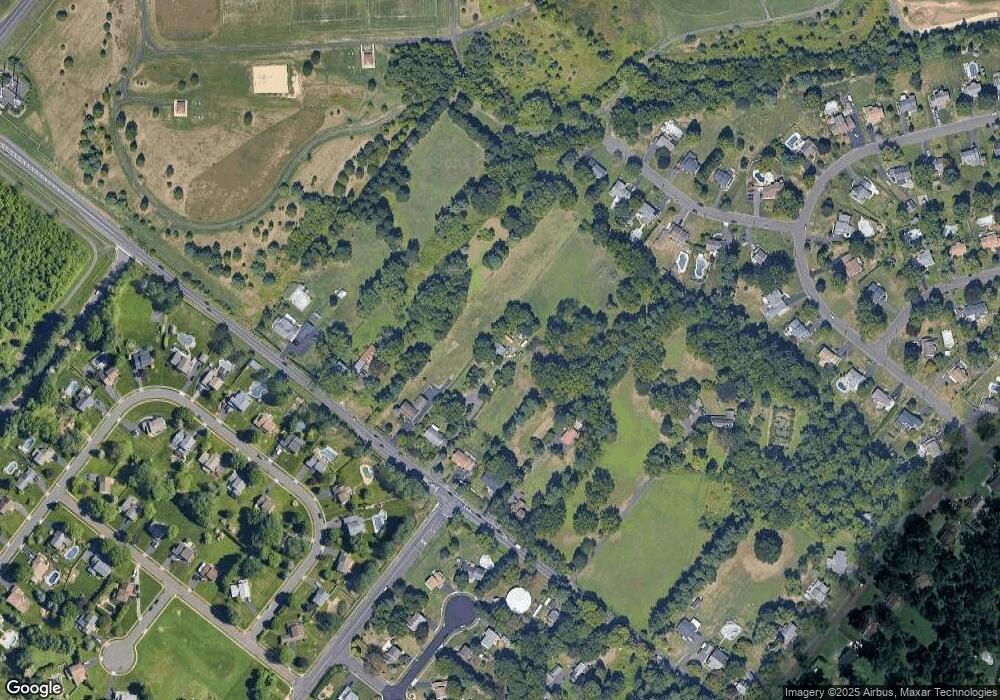
Map
Nearby Homes
- 215 Surrey Rd
- 800 New Rd
- 29 Devon Rd
- 448 W Bristol Rd
- 290 Hatboro Rd
- 1310 Dennis Rd
- 564 Byron Rd
- 844 Hostman Ave
- 559 Maple Ave
- 18 Daffodil Dr
- 1031 Willopenn Dr
- 968 Willopenn Dr
- 1020 Pennsylvania Ave
- 694 Davisville Rd
- 67 Woodland Dr
- 225 Green Dr
- 766 Meadow Dr
- 371 N 2nd Street Pike
- 249 New Rd
- 8 Shady Pines Dr
- 325 W Bristol Rd
- 345 W Bristol Rd
- 315 W Bristol Rd
- 795 Orchid Rd
- 785 Orchid Rd
- 805 Orchid Rd
- 1500 Rosebud Rd
- 355 W Bristol Rd
- 775 Orchid Rd
- 305 W Bristol Rd
- 1492 Rosebud Rd
- 815 Orchid Rd
- 765 Orchid Rd
- 790 Orchid Rd
- 1484 Rosebud Rd
- 780 Orchid Rd
- 825 Orchid Rd
- 755 Orchid Rd
- 365 W Bristol Rd
- 770 Orchid Rd