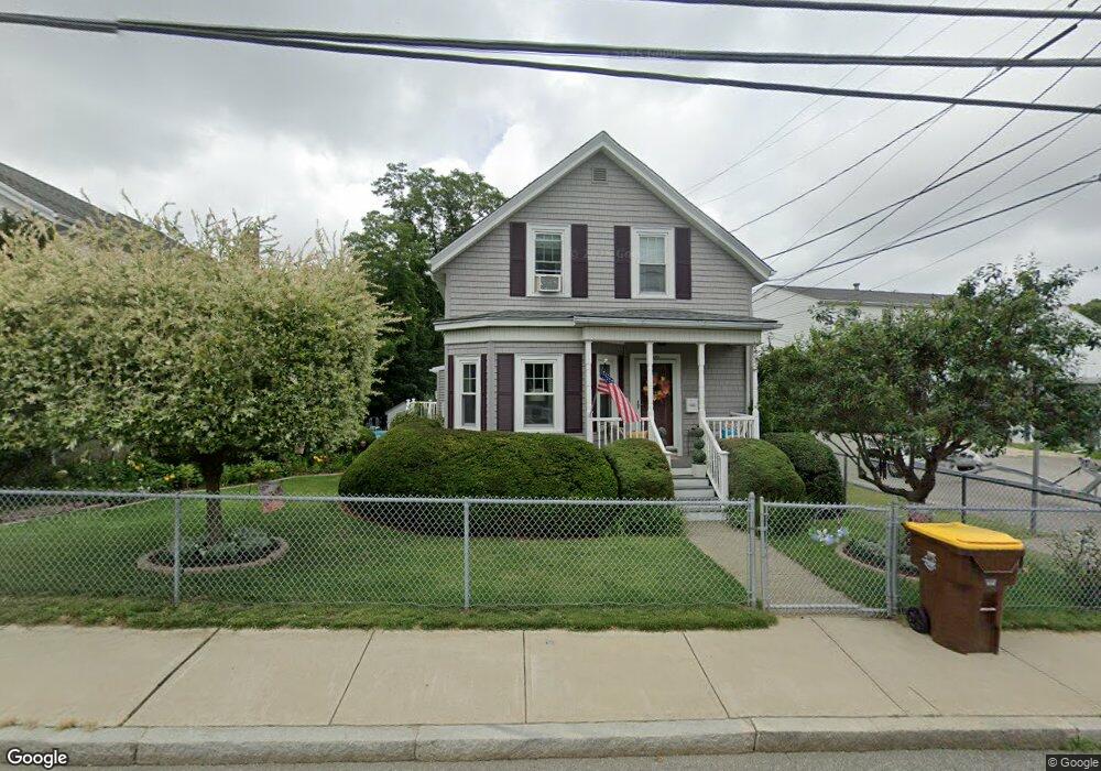
3350 N Main St Fall River, MA 02720
Western Fall River NeighborhoodEstimated Value: $421,698 - $475,000
3
Beds
2
Baths
1,467
Sq Ft
$307/Sq Ft
Est. Value
About This Home
This home is located at 3350 N Main St, Fall River, MA 02720 and is currently estimated at $450,675, approximately $307 per square foot. 3350 N Main St is a home located in Bristol County with nearby schools including North End Elementary School, Morton Middle School, and B M C Durfee High School.
Ownership History
Date
Name
Owned For
Owner Type
Purchase Details
Closed on
Jun 19, 1991
Sold by
Delisle Aime A and Delisle Joan A
Bought by
Payer Robert J and Payer Marie
Current Estimated Value
Home Financials for this Owner
Home Financials are based on the most recent Mortgage that was taken out on this home.
Original Mortgage
$85,500
Interest Rate
9.37%
Mortgage Type
Purchase Money Mortgage
Create a Home Valuation Report for This Property
The Home Valuation Report is an in-depth analysis detailing your home's value as well as a comparison with similar homes in the area
Home Values in the Area
Average Home Value in this Area
Purchase History
| Date | Buyer | Sale Price | Title Company |
|---|---|---|---|
| Payer Robert J | $95,000 | -- |
Source: Public Records
Mortgage History
| Date | Status | Borrower | Loan Amount |
|---|---|---|---|
| Open | Payer Robert J | $40,000 | |
| Closed | Payer Robert J | $11,000 | |
| Closed | Payer Robert J | $86,200 | |
| Closed | Payer Robert J | $85,500 |
Source: Public Records
Tax History Compared to Growth
Tax History
| Year | Tax Paid | Tax Assessment Tax Assessment Total Assessment is a certain percentage of the fair market value that is determined by local assessors to be the total taxable value of land and additions on the property. | Land | Improvement |
|---|---|---|---|---|
| 2025 | $3,930 | $343,200 | $133,500 | $209,700 |
| 2024 | $3,708 | $322,700 | $128,500 | $194,200 |
| 2023 | $3,475 | $283,200 | $110,100 | $173,100 |
| 2022 | $3,204 | $253,900 | $100,100 | $153,800 |
| 2021 | $2,987 | $216,000 | $92,700 | $123,300 |
| 2020 | $2,985 | $206,600 | $88,700 | $117,900 |
| 2019 | $2,858 | $196,000 | $84,400 | $111,600 |
| 2018 | $2,630 | $179,900 | $82,900 | $97,000 |
| 2017 | $2,531 | $180,800 | $84,600 | $96,200 |
| 2016 | $2,447 | $179,500 | $88,100 | $91,400 |
| 2015 | $2,305 | $176,200 | $84,800 | $91,400 |
| 2014 | $2,273 | $180,700 | $89,300 | $91,400 |
Source: Public Records
Map
Nearby Homes
- 50 Clark St Unit 19
- 120 Terri Marie Way Unit 5-13
- 3226 N Main St Unit 1
- 3216 N Main St
- 3682 N Main St Unit 7
- 120 Lewin St Unit 30
- 3853 N Main St
- 3896 N Main St
- 2714 Riverside Ave
- 2396 Riverside Ave
- 104 Corbett St
- 4234 N Main St Unit 103
- 54 Grant Ave
- 280 Joseph Dr
- 81 Wood St
- 2022-2030 Highland Ave
- Parcel 2 Highcrest Rd
- 172 Gibbs St
- 410 Joseph Dr
- 135 Grove Ave
- 3338 N Main St
- 3362 N Main St
- 3362 N Main St Unit 1 B
- 3326 N Main St
- 50 Clark St
- 50 Clark St Unit 46
- 50 Clark St Unit 45
- 50 Clark St Unit 44
- 50 Clark St Unit 43
- 50 Clark St Unit 42
- 50 Clark St Unit 41
- 50 Clark St Unit 36
- 50 Clark St Unit 35
- 50 Clark St Unit 34
- 50 Clark St Unit 33
- 50 Clark St Unit 32
- 50 Clark St Unit 31
- 50 Clark St Unit 26
- 50 Clark St Unit 25
- 50 Clark St Unit 24