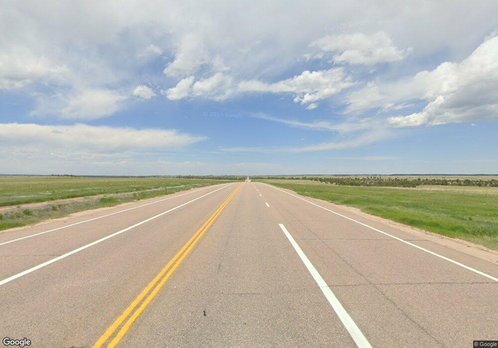
3350 N State Highway 83 Franktown, CO 80116
Estimated Value: $712,000 - $1,192,000
2
Beds
2
Baths
1,232
Sq Ft
$743/Sq Ft
Est. Value
About This Home
This home is located at 3350 N State Highway 83, Franktown, CO 80116 and is currently estimated at $914,921, approximately $742 per square foot. 3350 N State Highway 83 is a home located in Douglas County with nearby schools including Franktown Elementary School, Sagewood Middle School, and Ponderosa High School.
Ownership History
Date
Name
Owned For
Owner Type
Purchase Details
Closed on
Jul 22, 1993
Sold by
Habinck Harriet Ruth and Walker Patric
Bought by
Eisley Gerald W and Wiese Yolanda C
Current Estimated Value
Purchase Details
Closed on
Feb 14, 1992
Sold by
Graves Noami Kay
Bought by
Habinck Harriet Ruth
Purchase Details
Closed on
Mar 13, 1988
Sold by
Habinck Harriet Ruth
Bought by
Graves Naomi Kay
Create a Home Valuation Report for This Property
The Home Valuation Report is an in-depth analysis detailing your home's value as well as a comparison with similar homes in the area
Home Values in the Area
Average Home Value in this Area
Purchase History
| Date | Buyer | Sale Price | Title Company |
|---|---|---|---|
| Eisley Gerald W | $157,000 | -- | |
| Habinck Harriet Ruth | -- | -- | |
| Graves Naomi Kay | -- | -- |
Source: Public Records
Tax History Compared to Growth
Tax History
| Year | Tax Paid | Tax Assessment Tax Assessment Total Assessment is a certain percentage of the fair market value that is determined by local assessors to be the total taxable value of land and additions on the property. | Land | Improvement |
|---|---|---|---|---|
| 2024 | $4,221 | $59,360 | $33,180 | $26,180 |
| 2023 | $4,268 | $59,360 | $33,180 | $26,180 |
| 2022 | $3,376 | $47,280 | $24,440 | $22,840 |
| 2021 | $3,498 | $47,280 | $24,440 | $22,840 |
| 2020 | $2,974 | $42,220 | $17,430 | $24,790 |
| 2019 | $2,988 | $42,220 | $17,430 | $24,790 |
| 2018 | $2,674 | $38,020 | $16,290 | $21,730 |
| 2017 | $2,489 | $38,020 | $16,290 | $21,730 |
| 2016 | $2,489 | $38,180 | $17,910 | $20,270 |
| 2015 | $2,545 | $38,180 | $17,910 | $20,270 |
| 2014 | $2,459 | $35,240 | $17,910 | $17,330 |
Source: Public Records
Map
Nearby Homes
- 2968 N State Highway 83
- 7645 Fox Creek Trail
- 7755 E Park Dr
- 7465 Kelty Trail
- 6522 Lynch Ln
- 7312 Grady Cir
- 7478 Kelty Trail
- 7765 Oasis Dr
- 7808 Bandit Dr
- 5525 E State Highway 86
- 7812 Blue Water Ln
- 6555 San Miguel Ct
- 8048 Grady Cir
- 7496 Grady Cir
- 0 Colorado 83
- 5285 Colorado 86
- 7814 Grady Cir
- 7686 Grady Cir
- 7258 Oasis Dr
- 6598 Cherry Creek Dr
- 3310 N State Highway 83
- 3584 N State Highway 83
- 3580 N State Highway 83
- 3588 N State Highway 83
- 3590 N State Highway 83
- 3124 N State Highway 83
- 6870 Fox Creek Trail
- A Fox Creek Trail
- 3093 N State Highway 83
- 6606 Castle Oaks Dr
- 7187 Lost Lake Dr
- 7250 Fox Creek Trail
- 2979 N State Highway 83
- 7049 E Park Dr
- 2565 Fox View Trail
- 7335 Lost Lake Dr
- 7091 E Park Dr
- 2690 Fox Creek Trail
- 7505 Fox Creek Trail
- 3395 Lost Lake Ct
