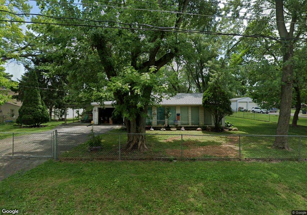
3351 Brookside Blvd Columbus, OH 43204
Estimated Value: $156,651 - $205,000
2
Beds
1
Bath
1,040
Sq Ft
$180/Sq Ft
Est. Value
About This Home
This home is located at 3351 Brookside Blvd, Columbus, OH 43204 and is currently estimated at $187,163, approximately $179 per square foot. 3351 Brookside Blvd is a home located in Franklin County with nearby schools including Prairie Lincoln Elementary School, Galloway Ridge Intermediate School, and Norton Middle School.
Ownership History
Date
Name
Owned For
Owner Type
Purchase Details
Closed on
Jul 30, 2004
Sold by
Wallace Clifford L and Wallace Elizabeth Jean
Bought by
Wallace Freelin G
Current Estimated Value
Purchase Details
Closed on
Aug 28, 2002
Sold by
Wallace Diane Fae
Bought by
Wallace Clifford E
Purchase Details
Closed on
Sep 14, 1983
Bought by
Wallace James E
Purchase Details
Closed on
Sep 1, 1983
Create a Home Valuation Report for This Property
The Home Valuation Report is an in-depth analysis detailing your home's value as well as a comparison with similar homes in the area
Home Values in the Area
Average Home Value in this Area
Purchase History
| Date | Buyer | Sale Price | Title Company |
|---|---|---|---|
| Wallace Freelin G | -- | -- | |
| Wallace Clifford E | -- | -- | |
| Wallace James E | -- | -- | |
| -- | $15,000 | -- |
Source: Public Records
Tax History Compared to Growth
Tax History
| Year | Tax Paid | Tax Assessment Tax Assessment Total Assessment is a certain percentage of the fair market value that is determined by local assessors to be the total taxable value of land and additions on the property. | Land | Improvement |
|---|---|---|---|---|
| 2024 | $1,378 | $36,820 | $12,460 | $24,360 |
| 2023 | $1,403 | $36,820 | $12,460 | $24,360 |
| 2022 | $1,421 | $28,010 | $9,070 | $18,940 |
| 2021 | $1,350 | $28,010 | $9,070 | $18,940 |
| 2020 | $2,028 | $37,740 | $9,070 | $28,670 |
| 2019 | $1,653 | $29,930 | $7,250 | $22,680 |
| 2018 | $1,376 | $29,930 | $7,250 | $22,680 |
| 2017 | $1,414 | $29,930 | $7,250 | $22,680 |
| 2016 | $1,192 | $23,210 | $5,850 | $17,360 |
| 2015 | $1,107 | $23,210 | $5,850 | $17,360 |
| 2014 | $1,107 | $23,210 | $5,850 | $17,360 |
| 2013 | $640 | $25,760 | $6,475 | $19,285 |
Source: Public Records
Map
Nearby Homes
- 3254 Dover Rd
- 3252 Dover Rd
- 3570 Dover Rd
- 1150 Romona Place
- 3161 Bowdoin Cir
- 3664 Grimes Dr
- 3495 La Coste Ln
- 3757 Gibbstone Dr
- 3761 Gibbstone Dr
- 0 Lowell Dr Unit 223009270
- 3307 Rudon Ln
- 2875 Lowell Dr
- 664 N Wilson Rd
- 4000 Sandy Ridge Dr
- 2704 Scioto Station Dr Unit 2704
- 2754 Scioto Station Dr
- 2051 Tuckaway Ct
- 355-357 N Algonquin Ave
- 2700 Mc Kinley Ave
- 527 N Hague Ave
- 3343 Brookside Blvd
- 3365 Brookside Blvd
- 3365 Brookside Blvd
- 3383 Brookside Blvd
- 3350 Dover Rd
- 3330 Dover Rd
- 3358 Dover Rd
- 3360 Brookside Blvd
- 3350 Brookside Blvd
- 3309 Brookside Blvd
- 3300 Dover Rd
- 3303 Brookside Blvd
- 3364 Dover Rd
- 3382 Brookside Blvd
- 3296 Dover Rd
- 3295 Brookside Blvd
- 3403 Brookside Blvd
- 3382 Dover Rd
- 3289 Brookside Blvd
- 3411 Brookside Blvd