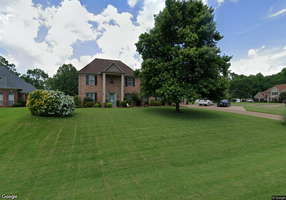
3358 Bridge Moore Dr Nesbit, MS 38651
Pleasant Hill NeighborhoodEstimated Value: $358,366 - $394,000
3
Beds
--
Bath
2,308
Sq Ft
$161/Sq Ft
Est. Value
About This Home
This home is located at 3358 Bridge Moore Dr, Nesbit, MS 38651 and is currently estimated at $372,342, approximately $161 per square foot. 3358 Bridge Moore Dr is a home located in DeSoto County with nearby schools including DeSoto Central Primary School, DeSoto Central Elementary School, and DeSoto Central Middle School.
Ownership History
Date
Name
Owned For
Owner Type
Purchase Details
Closed on
Oct 13, 2023
Sold by
Halford Jeffery W and Halford Holly O
Bought by
Heine Tonya M and Kreiner Heath J
Current Estimated Value
Home Financials for this Owner
Home Financials are based on the most recent Mortgage that was taken out on this home.
Original Mortgage
$290,500
Outstanding Balance
$283,984
Interest Rate
7.12%
Mortgage Type
New Conventional
Estimated Equity
$88,358
Create a Home Valuation Report for This Property
The Home Valuation Report is an in-depth analysis detailing your home's value as well as a comparison with similar homes in the area
Home Values in the Area
Average Home Value in this Area
Purchase History
| Date | Buyer | Sale Price | Title Company |
|---|---|---|---|
| Heine Tonya M | -- | Guardian Title |
Source: Public Records
Mortgage History
| Date | Status | Borrower | Loan Amount |
|---|---|---|---|
| Open | Heine Tonya M | $290,500 |
Source: Public Records
Tax History
| Year | Tax Paid | Tax Assessment Tax Assessment Total Assessment is a certain percentage of the fair market value that is determined by local assessors to be the total taxable value of land and additions on the property. | Land | Improvement |
|---|---|---|---|---|
| 2025 | $2,024 | $24,541 | $4,000 | $20,541 |
| 2024 | $1,767 | $17,677 | $4,000 | $13,677 |
| 2023 | $1,767 | $17,677 | $0 | $0 |
| 2022 | $1,467 | $17,677 | $4,000 | $13,677 |
| 2021 | $1,467 | $17,677 | $4,000 | $13,677 |
| 2020 | $1,353 | $16,538 | $4,000 | $12,538 |
| 2019 | $1,353 | $16,538 | $4,000 | $12,538 |
| 2017 | $1,315 | $28,068 | $16,034 | $12,034 |
| 2016 | $1,295 | $15,842 | $4,000 | $11,842 |
| 2015 | $1,595 | $27,684 | $15,842 | $11,842 |
| 2014 | $1,117 | $14,072 | $0 | $0 |
| 2013 | $1,167 | $14,073 | $0 | $0 |
Source: Public Records
Map
Nearby Homes
- 3456 Susie Cir
- 3491 Hatton Dr
- 3621 Hatton Dr
- 1768 Linden Dr
- 3505 Kreunen St
- 3622 Hatton Dr
- 3820 Windermere Rd N
- 3617 Kreunen St
- 3631 Kreunen St
- 401 Getwell Rd
- 403 Getwell Rd
- 4020 Maryan Ct
- 2951 Eden Ln
- 2945 Molly Cove
- 2952 Eden Ln
- 2955 Molly Cove
- 2956 Molly Cove
- 2984 Eden Ln
- 2383 Geneva Dr
- 4055 Bakersfield Dr
- 3312 Bridge Moore Dr
- 3355 Pankins Park Place
- 3341 Bridge Moore Dr
- 3307 Pankins Park Place
- 3292 Bridge Moore Dr
- 2202 Westwind Dr
- 2194 Westwind Dr
- 3353 Bridge Moore Dr
- 2188 Westwind Dr
- 2220 Westwind Dr
- 2220 Westwind Dr
- 3293 Bridge Moore Dr
- 3293 Pankins Park Place
- 2250 Westwind Dr
- 3276 Bridge Moore Dr
- 2168 Westwind Dr
- 2144 Westwind Dr
- 2303 Westwind Dr
- 3306 Pankins Park Place
- 3277 Bridge Moore Dr
Your Personal Tour Guide
Ask me questions while you tour the home.