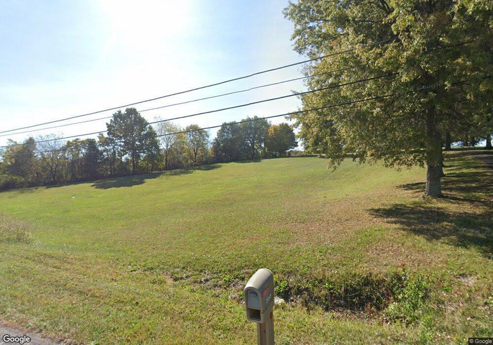
3359 Shepherdsville Rd Elizabethtown, KY 42701
Estimated Value: $282,000 - $510,000
3
Beds
3
Baths
2,388
Sq Ft
$172/Sq Ft
Est. Value
About This Home
This home is located at 3359 Shepherdsville Rd, Elizabethtown, KY 42701 and is currently estimated at $411,077, approximately $172 per square foot. 3359 Shepherdsville Rd is a home with nearby schools including Heartland Elementary School, Bluegrass Middle School, and John Hardin High School.
Ownership History
Date
Name
Owned For
Owner Type
Purchase Details
Closed on
Aug 11, 2020
Sold by
Shepherd Jennifer L
Bought by
Commonwealth Of Kentucky
Current Estimated Value
Purchase Details
Closed on
Jan 29, 2019
Sold by
Shepherd Michael B
Bought by
Shepherd Jennifer L
Purchase Details
Closed on
Sep 20, 2017
Sold by
Shepherd Michael B and Shepherd Jennifer L
Bought by
Miller Family Enterprises Llc
Purchase Details
Closed on
Oct 16, 2014
Sold by
Lois Routt Holman Estate
Bought by
Shepherd Michael B and Shepherd Jennifer L
Create a Home Valuation Report for This Property
The Home Valuation Report is an in-depth analysis detailing your home's value as well as a comparison with similar homes in the area
Home Values in the Area
Average Home Value in this Area
Purchase History
| Date | Buyer | Sale Price | Title Company |
|---|---|---|---|
| Commonwealth Of Kentucky | $39,700 | None Available | |
| Shepherd Jennifer L | -- | -- | |
| Miller Family Enterprises Llc | $35,530 | None Available | |
| Shepherd Michael B | $324,500 | Attorney | |
| Miller Family Enterprises Llc | $99,000 | Attorney |
Source: Public Records
Tax History Compared to Growth
Tax History
| Year | Tax Paid | Tax Assessment Tax Assessment Total Assessment is a certain percentage of the fair market value that is determined by local assessors to be the total taxable value of land and additions on the property. | Land | Improvement |
|---|---|---|---|---|
| 2024 | $3,125 | $332,200 | $86,800 | $245,400 |
| 2023 | $3,060 | $332,200 | $86,800 | $245,400 |
| 2022 | $3,148 | $332,200 | $86,800 | $245,400 |
| 2021 | $3,098 | $332,200 | $86,800 | $245,400 |
| 2020 | $2,969 | $316,300 | $91,600 | $224,700 |
| 2019 | $0 | $316,300 | $0 | $0 |
| 2018 | $2,539 | $278,700 | $0 | $0 |
| 2017 | $2,841 | $313,800 | $0 | $0 |
| 2016 | $0 | $324,500 | $0 | $0 |
| 2015 | $1,020 | $324,500 | $0 | $0 |
| 2012 | -- | $155,200 | $0 | $0 |
Source: Public Records
Map
Nearby Homes
- 757 Bates Rd
- 208 Keystone Ct
- 578 Deer Run Way
- 3 Gemma Cir
- 505 Derek Ave
- 0 Alex Dr Unit HK25001652
- 402 Duggins Dr
- 1301 Farmingdale Dr
- 201 Apple Grove Ln
- 101 Apple Grove Ln
- 112 Miles Pass
- Freeport Plan at Miles Pointe
- HENLEY Plan at Miles Pointe
- BELLAMY Plan at Miles Pointe
- CHATHAM Plan at Miles Pointe
- 213 Miles Pass
- 213 S Miles St
- 209 S Miles St
- 209 Miles Pass
- 224 Miles Pass
- 3360 Shepherdsville Rd
- 3463 Shepherdsville Rd
- 2992 Shepherdsville Rd
- 0 Wooldridge Ferry Rd
- 0 Wooldridge Ferry Rd Unit 216060
- 0 Wooldridge Ferry Rd Unit LOT 4 114191
- 4B Wooldridge Ferry Rd
- Lot 4B Wooldridge Ferry Rd
- 11-A Wooldridge Ferry Rd
- 11 Wooldridge Ferry Rd
- 86 Amberwood Dr
- 13 Wooldridge Ferry Rd
- 3484 Shepherdsville Rd
- 38 Amberwood Dr
- 120 Amberwood Dr
- 34 Wooldridge Ferry Rd
- 3535 Shepherdsville Rd
- 150 Amberwood Dr
- 89 Bates Rd
- 13 Emerald Way