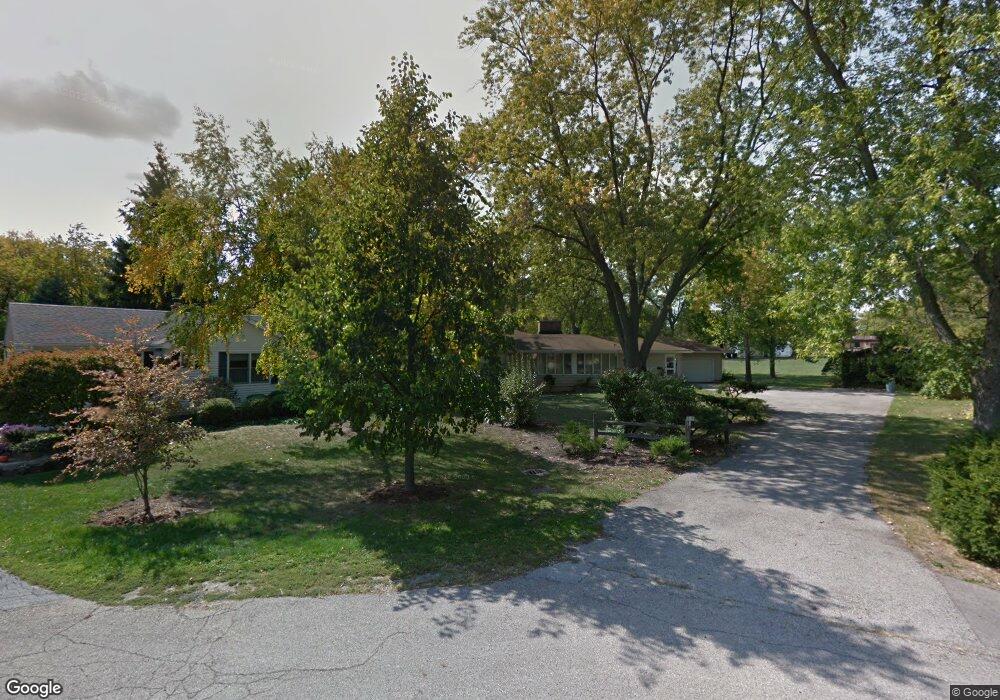
336 Daniel Ave Wauconda, IL 60084
Estimated Value: $336,000 - $378,206
Studio
1
Bath
1,514
Sq Ft
$238/Sq Ft
Est. Value
About This Home
This home is located at 336 Daniel Ave, Wauconda, IL 60084 and is currently estimated at $360,302, approximately $237 per square foot. 336 Daniel Ave is a home located in Lake County with nearby schools including Wauconda Grade School, Wauconda Middle School, and Wauconda High School.
Ownership History
Date
Name
Owned For
Owner Type
Purchase Details
Closed on
Mar 11, 2013
Sold by
Painter Martha and Audrey Painter Land Trust
Bought by
K J And K Land Reclamation Inc
Current Estimated Value
Purchase Details
Closed on
Jan 25, 2011
Sold by
Painter Audrey
Bought by
Audrey Painter Land Trust
Create a Home Valuation Report for This Property
The Home Valuation Report is an in-depth analysis detailing your home's value as well as a comparison with similar homes in the area
Home Values in the Area
Average Home Value in this Area
Purchase History
| Date | Buyer | Sale Price | Title Company |
|---|---|---|---|
| K J And K Land Reclamation Inc | $163,900 | First American Title Insuran | |
| Audrey Painter Land Trust | -- | None Available |
Source: Public Records
Tax History
| Year | Tax Paid | Tax Assessment Tax Assessment Total Assessment is a certain percentage of the fair market value that is determined by local assessors to be the total taxable value of land and additions on the property. | Land | Improvement |
|---|---|---|---|---|
| 2024 | $8,069 | $107,813 | $42,112 | $65,701 |
| 2023 | $9,194 | $82,125 | $32,078 | $50,047 |
| 2022 | $9,194 | $84,261 | $35,666 | $48,595 |
| 2021 | $8,813 | $79,619 | $33,701 | $45,918 |
| 2020 | $8,563 | $75,886 | $32,121 | $43,765 |
| 2019 | $7,632 | $71,719 | $30,357 | $41,362 |
| 2018 | $8,984 | $78,066 | $35,400 | $42,666 |
| 2017 | $8,977 | $77,164 | $34,991 | $42,173 |
| 2016 | $8,469 | $73,072 | $33,135 | $39,937 |
| 2015 | $8,022 | $68,249 | $30,419 | $37,830 |
| 2014 | $6,970 | $62,231 | $32,302 | $29,929 |
| 2012 | $6,115 | $59,693 | $30,906 | $28,787 |
Source: Public Records
Map
Nearby Homes
- 124 Hubbard Ct
- 214 Minerva Ave
- 450 N Main St Unit S208A
- 610 Larkdale Row
- 155 E Mill St Unit 8
- 227 Kimball Ave
- 285 Regency Court Unit B Ct
- 555 Meadowview Dr
- 255 Regency Ct Unit D
- 255 Regency Ct Unit C
- 225 Regency Ct Unit A
- 245 Regency Ct Unit B
- 245 Regency Ct Unit E
- 541 Meadowview Dr
- 27514 N Forest Garden Rd
- 159 Parkview Dr Unit 159
- 501 E Liberty St
- 28331 W Main St
- 26630 N Pheasant Trail
- 27071 N Ridge St
Your Personal Tour Guide
Ask me questions while you tour the home.