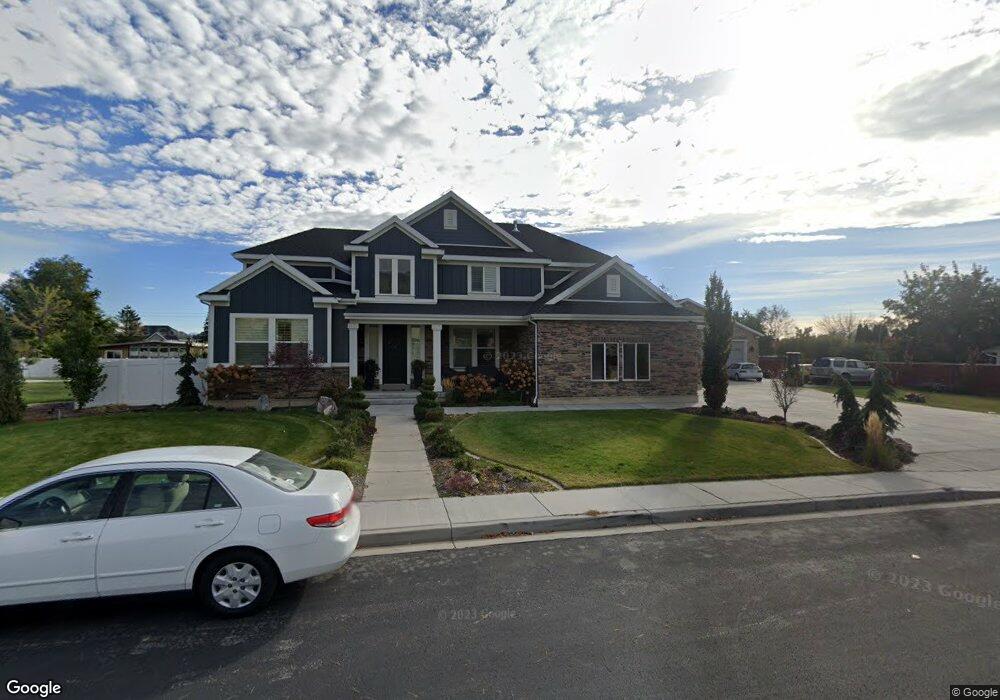
336 E 170 S Lindon, UT 84042
Estimated Value: $1,271,000 - $1,559,000
7
Beds
6
Baths
5,428
Sq Ft
$263/Sq Ft
Est. Value
About This Home
This home is located at 336 E 170 S, Lindon, UT 84042 and is currently estimated at $1,427,165, approximately $262 per square foot. 336 E 170 S is a home located in Utah County with nearby schools including Lindon Elementary School, Oak Canyon Junior High School, and Pleasant Grove High School.
Ownership History
Date
Name
Owned For
Owner Type
Purchase Details
Closed on
Apr 13, 2017
Sold by
Ivory Homes Ltd
Bought by
Bounthot Sangvan and Bounthot Thomasin
Current Estimated Value
Home Financials for this Owner
Home Financials are based on the most recent Mortgage that was taken out on this home.
Original Mortgage
$234,000
Outstanding Balance
$194,134
Interest Rate
4.1%
Mortgage Type
Commercial
Estimated Equity
$1,233,031
Create a Home Valuation Report for This Property
The Home Valuation Report is an in-depth analysis detailing your home's value as well as a comparison with similar homes in the area
Home Values in the Area
Average Home Value in this Area
Purchase History
| Date | Buyer | Sale Price | Title Company |
|---|---|---|---|
| Bounthot Sangvan | -- | Cottonwood Title Ins Ag | |
| Bounthot Sangvan | -- | Cottonwood Title Ins Agency |
Source: Public Records
Mortgage History
| Date | Status | Borrower | Loan Amount |
|---|---|---|---|
| Open | Bounthot Sangvan | $234,000 | |
| Open | Bounthot Sangvan | $424,100 |
Source: Public Records
Tax History
| Year | Tax Paid | Tax Assessment Tax Assessment Total Assessment is a certain percentage of the fair market value that is determined by local assessors to be the total taxable value of land and additions on the property. | Land | Improvement |
|---|---|---|---|---|
| 2025 | $4,961 | $683,815 | -- | -- |
| 2024 | $4,961 | $611,545 | $0 | $0 |
| 2023 | $4,454 | $589,765 | $0 | $0 |
| 2022 | $4,327 | $553,410 | $0 | $0 |
| 2021 | $3,755 | $724,300 | $290,400 | $433,900 |
| 2020 | $3,472 | $659,200 | $242,000 | $417,200 |
| 2019 | $3,328 | $659,200 | $242,000 | $417,200 |
| 2018 | $3,171 | $592,100 | $229,300 | $362,800 |
| 2017 | $2,988 | $299,200 | $0 | $0 |
| 2016 | $1,885 | $174,600 | $0 | $0 |
Source: Public Records
Map
Nearby Homes
- 127 S 400 E
- 1916 N 430 W
- 90 S 200 E
- 240 E Center St
- 229 E 60 N
- 1744 N 280 W
- 1917 N 860 W
- 49 W 1880 N
- 271 N 400 E Unit 1
- 190 E 800 N Unit 4
- 150 E 800 N Unit 2
- 170 E 800 N Unit 3
- 130 E 800 N Unit 1
- 1547 N 275 West St Unit 5
- 1566 N 275 West St Unit 1
- 1548 N 275 West St Unit 2
- 1545 N State St Unit 1
- 1552 N 740 W
- 133 Canal Dr
- 14 N 850 E
Your Personal Tour Guide
Ask me questions while you tour the home.