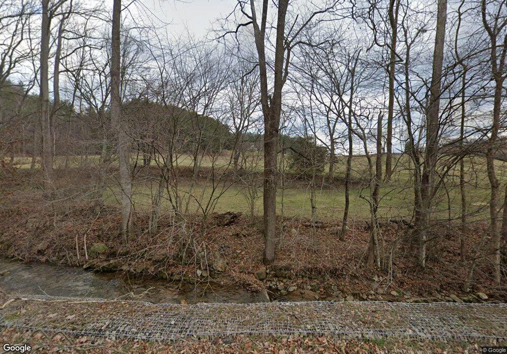
336 MacK Branch Rd Mountain City, TN 37683
Estimated Value: $427,000 - $584,000
--
Bed
3
Baths
2,221
Sq Ft
$228/Sq Ft
Est. Value
About This Home
This home is located at 336 MacK Branch Rd, Mountain City, TN 37683 and is currently estimated at $506,203, approximately $227 per square foot. 336 MacK Branch Rd is a home located in Johnson County with nearby schools including Johnson County Middle School and Johnson County High School.
Ownership History
Date
Name
Owned For
Owner Type
Purchase Details
Closed on
Jun 30, 2022
Sold by
Tyree Kevin B
Bought by
Living Trust
Current Estimated Value
Home Financials for this Owner
Home Financials are based on the most recent Mortgage that was taken out on this home.
Original Mortgage
$337,836
Outstanding Balance
$321,854
Interest Rate
5.25%
Mortgage Type
New Conventional
Estimated Equity
$184,349
Purchase Details
Closed on
Feb 5, 2020
Sold by
Tyree Robert J and Tyree Linda M
Bought by
Tyree Robert J and Tyree Linda M
Purchase Details
Closed on
Feb 22, 2000
Bought by
Tyree Robert J and Tyree Linda L
Create a Home Valuation Report for This Property
The Home Valuation Report is an in-depth analysis detailing your home's value as well as a comparison with similar homes in the area
Home Values in the Area
Average Home Value in this Area
Purchase History
| Date | Buyer | Sale Price | Title Company |
|---|---|---|---|
| Living Trust | $455,000 | Smith And Cockett | |
| Tyree Robert J | -- | None Available | |
| Tyree Robert J | $5,000 | -- |
Source: Public Records
Mortgage History
| Date | Status | Borrower | Loan Amount |
|---|---|---|---|
| Open | Living Trust | $337,836 |
Source: Public Records
Tax History Compared to Growth
Tax History
| Year | Tax Paid | Tax Assessment Tax Assessment Total Assessment is a certain percentage of the fair market value that is determined by local assessors to be the total taxable value of land and additions on the property. | Land | Improvement |
|---|---|---|---|---|
| 2024 | $1,367 | $61,850 | $10,525 | $51,325 |
| 2023 | $1,367 | $61,850 | $10,525 | $51,325 |
| 2022 | $1,036 | $57,250 | $5,925 | $51,325 |
| 2021 | $1,036 | $57,250 | $5,925 | $51,325 |
| 2020 | $1,029 | $57,250 | $5,925 | $51,325 |
| 2019 | $1,029 | $50,200 | $5,350 | $44,850 |
| 2018 | $972 | $47,425 | $3,275 | $44,150 |
| 2017 | $972 | $47,425 | $3,275 | $44,150 |
| 2016 | $972 | $47,425 | $3,275 | $44,150 |
| 2015 | $858 | $47,425 | $3,275 | $44,150 |
| 2014 | $864 | $47,750 | $3,300 | $44,450 |
Source: Public Records
Map
Nearby Homes
- 800 Leason Gregg Rd
- 000 W Highway 67
- 672 Stage Coach Loop
- Tbd Spear Branch Rd
- 128 Overlook Ln
- 2835 Cross Mountain Rd
- 384 Cross Mountain Rd
- 3085 Slabtown Rd
- 533 Robinson Hollow Ln
- 00 Robinson Hollow Ln
- 332 Hopper Rd
- 1331 Pine Orchard Rd
- 166 Burley Shouns Ln
- 1820 Pine Orchard Rd
- 1501 Sprucy Ridge
- 620 Swift Hollow Ln
- 9222 Roan Creek Rd
- 1208 Doe Creek Rd
- 00 Roan Creek Rd
- 1037 Swift Hollow Rd
- 2.00 MacK Branch Rd
- 0 MacK Branch Rd
- 00 MacK Branch Rd
- TBD MacK Branch Rd
- 3200 MacK Branch Rd
- 000 MacK Branch Rd
- 571 MacK Branch Rd
- 525 MacK Branch Rd
- 559 MacK Branch Rd
- 360 MacK Branch Rd
- 706 MacK Branch Rd
- 229 Potter Ln
- 298 MacK Branch Rd
- 294 MacK Branch Rd
- 383 Potter Ln
- 2700 Campbell Rd
- 2838 Campbell Rd
- 3104 Campbell Rd
- 3108 Campbell Rd
- 2677 Campbell Rd
