Estimated Value: $466,779 - $542,000
2
Beds
2
Baths
1,080
Sq Ft
$471/Sq Ft
Est. Value
About This Home
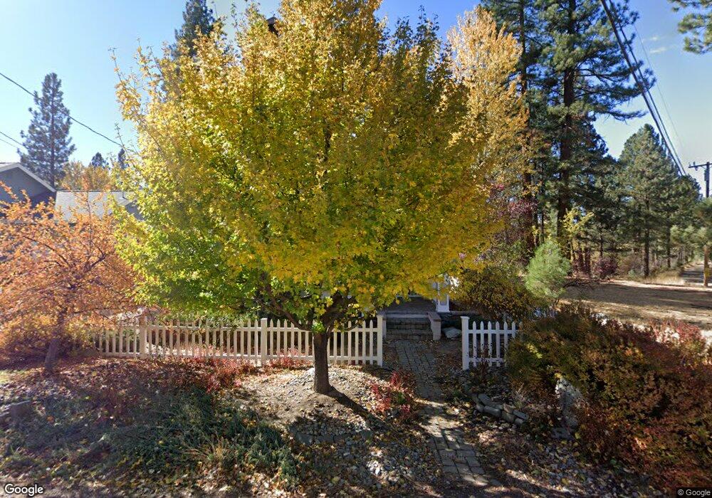
This home is located at 336 River Rd, Clio, CA 96106 and is currently estimated at $508,695, approximately $471 per square foot. 336 River Rd is a home.
Ownership History
Date
Name
Owned For
Owner Type
Purchase Details
Closed on
Dec 19, 2023
Sold by
Naquin Donald R and Naquin Debra Robinson
Bought by
Naquin Robinson Trust and Naquin
Current Estimated Value
Purchase Details
Closed on
Aug 15, 2003
Sold by
Carr Linda
Bought by
Naquin Donald R and Naquin Debra Robinson
Home Financials for this Owner
Home Financials are based on the most recent Mortgage that was taken out on this home.
Original Mortgage
$252,000
Interest Rate
5.46%
Mortgage Type
Unknown
Create a Home Valuation Report for This Property
The Home Valuation Report is an in-depth analysis detailing your home's value as well as a comparison with similar homes in the area
Purchase History
We collect this data history from publicly available records. To have your information removed, we recommend requesting removal directly through your county’s website.
| Date | Buyer | Sale Price | Title Company |
|---|---|---|---|
| Naquin Robinson Trust | -- | None Listed On Document | |
| Naquin Donald R | $315,000 | Fidelity Natl Title Co Of Ca |
Source: Public Records
Mortgage History
We collect this data history from publicly available records. To have your information removed, we recommend requesting removal directly through your county’s website.
| Date | Status | Borrower | Loan Amount |
|---|---|---|---|
| Previous Owner | Naquin Donald R | $252,000 |
Source: Public Records
Tax History
| Year | Tax Paid | Tax Assessment Tax Assessment Total Assessment is a certain percentage of the fair market value that is determined by local assessors to be the total taxable value of land and additions on the property. | Land | Improvement |
|---|---|---|---|---|
| 2025 | $4,831 | $447,846 | $142,171 | $305,675 |
| 2023 | $4,831 | $331,841 | $105,347 | $226,494 |
| 2022 | $3,557 | $316,039 | $100,330 | $215,709 |
| 2021 | $3,240 | $292,629 | $92,898 | $199,731 |
| 2020 | $3,192 | $278,694 | $88,474 | $190,220 |
| 2019 | $3,129 | $273,229 | $86,739 | $186,490 |
| 2018 | $2,998 | $267,871 | $85,038 | $182,833 |
| 2017 | $2,656 | $232,931 | $73,946 | $158,985 |
| 2016 | $2,428 | $226,146 | $71,792 | $154,354 |
| 2015 | $2,443 | $226,146 | $71,792 | $154,354 |
| 2014 | $2,447 | $226,146 | $71,792 | $154,354 |
Source: Public Records
Map
Nearby Homes
- 70 Cassidy Dr
- 329 Clio State 40a Rd
- 412 Valley Ranch Dr
- 1269 Valley Ranch Dr
- 213 Cody Dr
- 440 Valley Ranch Dr
- 77 Cody Dr
- 154 Cody Dr
- 1307 Valley Ranch Dr
- 1341 Valley Ranch Dr
- 1359 Valley Ranch Dr
- 1301 Ringtail Ct
- 955 Shady Ln
- 38 Tolowa Trail
- 4 Yana Trail
- 2 Modoc Trail
- 755 Carmichael Rd
- 59 Yonkalla Trail
- 84 Yonkalla Trail
- 61 Paiute Trail
Your Personal Tour Guide
Ask me questions while you tour the home.