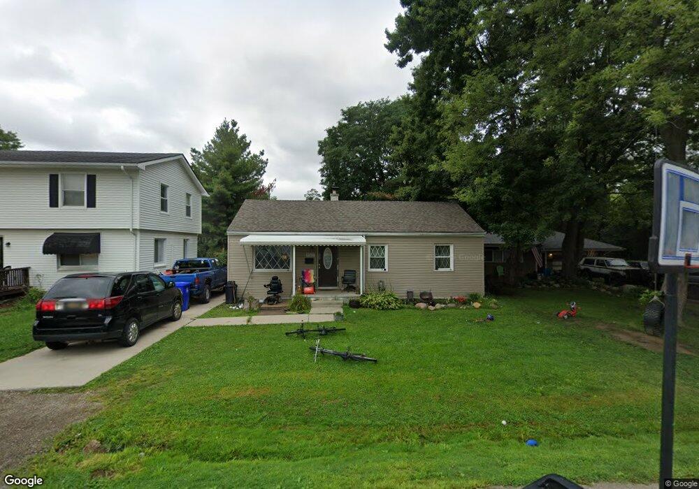
33605 Duncan Unit Bldg-Unit Fraser, MI 48026
Estimated Value: $153,324 - $187,000
3
Beds
1
Bath
1,056
Sq Ft
$169/Sq Ft
Est. Value
About This Home
This home is located at 33605 Duncan Unit Bldg-Unit, Fraser, MI 48026 and is currently estimated at $178,331, approximately $168 per square foot. 33605 Duncan Unit Bldg-Unit is a home located in Macomb County with nearby schools including Thomas A. Edison Elementary School, Richards Middle School, and Fraser High School.
Ownership History
Date
Name
Owned For
Owner Type
Purchase Details
Closed on
Feb 27, 2015
Sold by
Wells Fargo Bank Na
Bought by
The Secretary Of Hsng & Urban Developmen
Current Estimated Value
Purchase Details
Closed on
Aug 22, 2014
Sold by
Lampar Reinette
Bought by
Wells Fargo Bank Na
Purchase Details
Closed on
Sep 5, 2007
Sold by
Pokriefka Clarence T and Pokriefka Loretta C
Bought by
Lampar Reinette C
Create a Home Valuation Report for This Property
The Home Valuation Report is an in-depth analysis detailing your home's value as well as a comparison with similar homes in the area
Home Values in the Area
Average Home Value in this Area
Purchase History
| Date | Buyer | Sale Price | Title Company |
|---|---|---|---|
| The Secretary Of Hsng & Urban Developmen | -- | None Available | |
| Wells Fargo Bank Na | $48,750 | None Available | |
| Lampar Reinette C | $98,000 | Metropolitan Title Company |
Source: Public Records
Tax History
| Year | Tax Paid | Tax Assessment Tax Assessment Total Assessment is a certain percentage of the fair market value that is determined by local assessors to be the total taxable value of land and additions on the property. | Land | Improvement |
|---|---|---|---|---|
| 2025 | $2,719 | $67,500 | $0 | $0 |
| 2024 | $26 | $57,700 | $0 | $0 |
| 2023 | $2,533 | $55,100 | $0 | $0 |
| 2022 | $2,918 | $47,800 | $0 | $0 |
| 2021 | $2,422 | $47,500 | $0 | $0 |
| 2020 | $2,340 | $46,400 | $0 | $0 |
| 2019 | $2,421 | $39,800 | $0 | $0 |
| 2018 | $2,588 | $36,100 | $0 | $0 |
| 2017 | $2,297 | $32,974 | $9,406 | $23,568 |
| 2016 | $2,421 | $32,963 | $0 | $0 |
| 2015 | -- | $35,843 | $0 | $0 |
| 2013 | $1,432 | $33,066 | $0 | $0 |
| 2011 | -- | $37,384 | $10,050 | $27,334 |
Source: Public Records
Map
Nearby Homes
- 33530 Utica Rd Unit 9
- 33420 Utica Rd
- 33710 Mulvey
- 34231 Garfield Cir
- 34273 Garfield Cir Unit 5
- 34446 Sycamore Dr Unit 9
- 0 14 Mile Rd
- 16369 Woodlane Unit 115
- 34644 Mercer Unit 92
- 34673 Clarkson Dr E Unit 78
- 15743 Greenview
- 34650 Clarkson Dr W Unit 43
- 16572 Rosemary
- 34868 Mercer Unit 4
- 17548 Adolph
- 34900 Mercer Unit 10
- 16143 Clarkson Dr Unit 2
- 15801 Toulouse Unit 6
- 16131 Blue Spruce Ln Unit 12
- 15715 Exeter Ct
Your Personal Tour Guide
Ask me questions while you tour the home.