3363 Lowman Ln Union Bridge, MD 21791
Estimated Value: $680,000 - $782,000
--
Bed
3
Baths
2,760
Sq Ft
$265/Sq Ft
Est. Value
About This Home
This home is located at 3363 Lowman Ln, Union Bridge, MD 21791 and is currently estimated at $731,772, approximately $265 per square foot. 3363 Lowman Ln is a home located in Carroll County with nearby schools including Elmer A. Wolfe Elementary School, Northwest Middle School, and Francis Scott Key High School.
Ownership History
Date
Name
Owned For
Owner Type
Purchase Details
Closed on
May 17, 2005
Sold by
Kitzmiller Ray G
Bought by
Hake Bruce A and Hake Judith L
Current Estimated Value
Purchase Details
Closed on
Jun 29, 1995
Sold by
Kulesa Ruth L
Bought by
Kitzmiller Ray G
Home Financials for this Owner
Home Financials are based on the most recent Mortgage that was taken out on this home.
Original Mortgage
$90,000
Interest Rate
7.8%
Create a Home Valuation Report for This Property
The Home Valuation Report is an in-depth analysis detailing your home's value as well as a comparison with similar homes in the area
Home Values in the Area
Average Home Value in this Area
Purchase History
| Date | Buyer | Sale Price | Title Company |
|---|---|---|---|
| Hake Bruce A | $510,000 | -- | |
| Kitzmiller Ray G | $183,000 | -- |
Source: Public Records
Mortgage History
| Date | Status | Borrower | Loan Amount |
|---|---|---|---|
| Previous Owner | Kitzmiller Ray G | $90,000 |
Source: Public Records
Tax History Compared to Growth
Tax History
| Year | Tax Paid | Tax Assessment Tax Assessment Total Assessment is a certain percentage of the fair market value that is determined by local assessors to be the total taxable value of land and additions on the property. | Land | Improvement |
|---|---|---|---|---|
| 2025 | $4,874 | $527,567 | $0 | $0 |
| 2024 | $4,874 | $467,533 | $0 | $0 |
| 2023 | $4,605 | $407,500 | $161,100 | $246,400 |
| 2022 | $4,605 | $407,500 | $161,100 | $246,400 |
| 2021 | $9,450 | $407,500 | $161,100 | $246,400 |
| 2020 | $4,978 | $439,200 | $161,100 | $278,100 |
| 2019 | $4,989 | $436,233 | $0 | $0 |
| 2018 | $4,912 | $433,267 | $0 | $0 |
| 2017 | $4,879 | $430,300 | $0 | $0 |
| 2016 | -- | $424,367 | $0 | $0 |
| 2015 | -- | $418,433 | $0 | $0 |
| 2014 | -- | $412,500 | $0 | $0 |
Source: Public Records
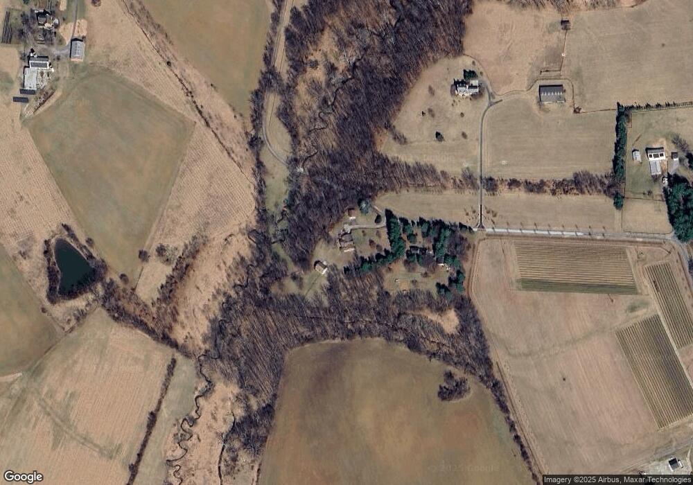
Map
Nearby Homes
- 3875 Bark Hill Rd
- 3830 Watson Ln
- 3459 Uniontown Rd
- 3204 Uniontown Rd
- 703 S Springdale Rd
- 0 Stem Rd
- 285 Stem Rd
- 2807 Carlisle Dr
- 244 Stem Rd
- 2824 Graybill Ct
- 2823 Graybill Ct
- 57B Hoff Rd
- 216 Main St
- 120 Water St
- 221 Main St
- 2713 Rowe Rd
- 2851 Union Square Rd Unit 68
- 2810 Union Square Rd
- 2910 Union Square Rd Unit 34
- 2461 Old New Windsor Pike
- 3359 Lowman Ln
- 3355 Lowman Ln
- 3295 Lowman Ln
- 3300 Lowman Ln
- 3358 Lowman Ln
- 3200 Lowman Ln
- 3360 Lowman Ln
- 3335 Lowman Ln
- 3303 Lowman Ln
- 3370 Lowman Ln
- 3376 Lowman Ln
- 3401 Lowman Ln
- 317 S Clear Ridge Rd
- 602 Jasontown Rd
- 217 Clear Ridge Rd
- 413 Clear Ridge Rd
- 309 S Clear Ridge Rd
- 207 S Clear Ridge Rd
- 303 S Clear Ridge Rd
- 131 S Clear Ridge Rd