336444 E 960 Rd Unit R Wellston, OK 74881
Estimated Value: $92,880 - $282,000
2
Beds
1
Bath
1,407
Sq Ft
$140/Sq Ft
Est. Value
About This Home
This home is located at 336444 E 960 Rd Unit R, Wellston, OK 74881 and is currently estimated at $196,960, approximately $139 per square foot. 336444 E 960 Rd Unit R is a home located in Lincoln County with nearby schools including Wellston Elementary School, Wellston Middle School, and Wellston High School.
Ownership History
Date
Name
Owned For
Owner Type
Purchase Details
Closed on
Jun 30, 2020
Sold by
Collins Larry Gene and Sontag Collins Pamela
Bought by
Collins Larry Gene and Sontag Collins Pamela
Current Estimated Value
Purchase Details
Closed on
Dec 30, 1991
Sold by
Liberty Natl Bnk & Tr Okc
Bought by
Collins Larry Gene
Purchase Details
Closed on
Dec 13, 1990
Sold by
Davis Robert O and Davis Cindy
Bought by
Liberty Natl Bnk & Tr Okc
Purchase Details
Closed on
Jun 12, 1990
Sold by
Sheriff Lincoln County
Bought by
Liberty Natl Bnk & Tr Okc
Create a Home Valuation Report for This Property
The Home Valuation Report is an in-depth analysis detailing your home's value as well as a comparison with similar homes in the area
Home Values in the Area
Average Home Value in this Area
Purchase History
| Date | Buyer | Sale Price | Title Company |
|---|---|---|---|
| Collins Larry Gene | -- | None Available | |
| Collins Larry Gene | -- | -- | |
| Liberty Natl Bnk & Tr Okc | -- | -- | |
| Liberty Natl Bnk & Tr Okc | -- | -- |
Source: Public Records
Tax History Compared to Growth
Tax History
| Year | Tax Paid | Tax Assessment Tax Assessment Total Assessment is a certain percentage of the fair market value that is determined by local assessors to be the total taxable value of land and additions on the property. | Land | Improvement |
|---|---|---|---|---|
| 2024 | $207 | $2,450 | $1,354 | $1,096 |
| 2023 | $207 | $8,790 | $1,354 | $7,436 |
| 2022 | $194 | $3,350 | $516 | $2,834 |
| 2021 | $187 | $3,253 | $543 | $2,710 |
| 2020 | $183 | $3,158 | $522 | $2,636 |
| 2019 | $175 | $3,066 | $548 | $2,518 |
| 2018 | $165 | $2,977 | $505 | $2,472 |
| 2017 | $165 | $2,890 | $521 | $2,369 |
| 2016 | $157 | $2,806 | $475 | $2,331 |
| 2015 | $156 | $2,724 | $461 | $2,263 |
| 2014 | $149 | $2,644 | $380 | $2,264 |
Source: Public Records
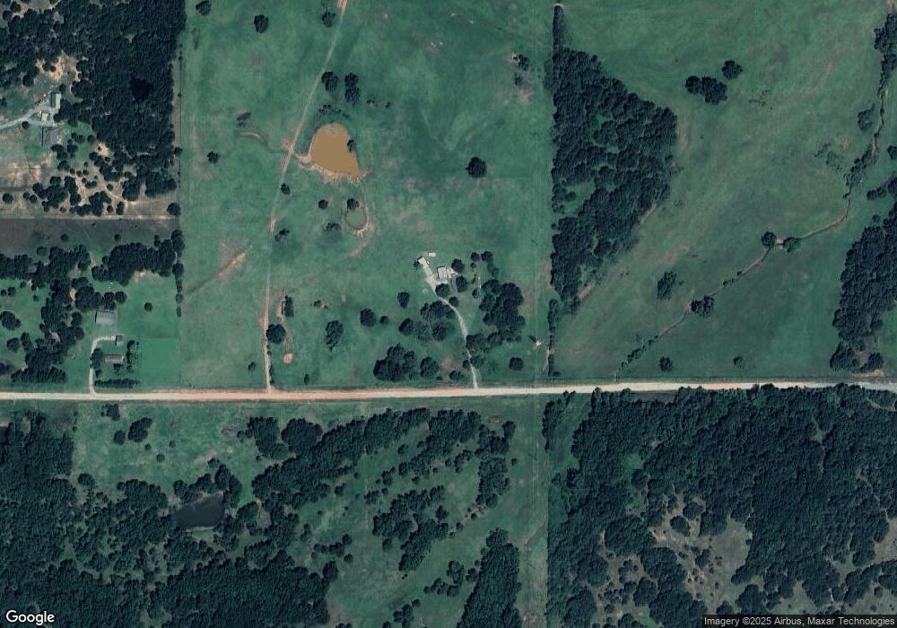
Map
Nearby Homes
- 337248 E Pecan Meadows Ln
- 960926 S Hoot Owl Ln
- 940671 S 3360 Rd
- 940605 S 3350 Rd
- 0 E 980 Rd
- 335752 E 980 Rd
- 960402 S 3340 Rd
- 0000 S Seven Oaks Rd
- 335744 E Creek Crossing Rd
- 0 S Highway 177
- 0 980 Rd
- 0000 980 Rd
- 980270 S Shadowwood Dr
- 333775 Oak Hollow
- 980438 S Shadowwood Dr
- 330633 E 875 Rd
- 333631 Oak Hollow Dr
- 334358 E 980 Rd
- 910796 S 3350 Rd
- 960461 S Highway 102
- 336184 E 960 Rd
- 950730 S 3360 Rd
- 950630 S 3360 Rd
- 950851 S 3360 Rd
- 336941 E 960 Rd
- 950536 S 3360 Rd
- 950818 S Highway 177
- 960407 S Highway 177
- 335632 E 960 Rd
- 0 Hwy 177 Hwy Unit 1010025
- 950211 S Highway 177
- 950330 S Highway 177
- 336535 E 950 Rd
- 336809 E 950 Rd
- 337201 E 960 Rd
- 0 E 950 Rd
- 336181 E 950 Rd
- 0 S Robin Ln Unit 1004555
- 335624 E 960 Rd
- 960568 S Robin Ln