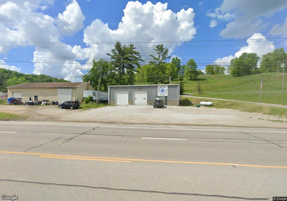
3367 Glenn Hwy Cambridge, OH 43725
Estimated Value: $174,619
--
Bed
--
Bath
2,400
Sq Ft
$73/Sq Ft
Est. Value
About This Home
This home is located at 3367 Glenn Hwy, Cambridge, OH 43725 and is currently estimated at $174,619, approximately $72 per square foot. 3367 Glenn Hwy is a home located in Guernsey County with nearby schools including Pike Elementary School, Larry Miller Intermediate Elementary School, and East Muskingum Middle School.
Ownership History
Date
Name
Owned For
Owner Type
Purchase Details
Closed on
Dec 14, 2021
Sold by
Freedom Enterprises Glenn Hwy Realty Llc
Bought by
Briar Patch Llc
Current Estimated Value
Home Financials for this Owner
Home Financials are based on the most recent Mortgage that was taken out on this home.
Original Mortgage
$108,000
Outstanding Balance
$99,332
Interest Rate
3.11%
Mortgage Type
New Conventional
Estimated Equity
$75,287
Purchase Details
Closed on
May 15, 2017
Sold by
Delennah Services Llc
Bought by
Freedom Enterprises Glenn Hwy Realty Llc
Purchase Details
Closed on
Dec 3, 2012
Sold by
Warren Carol M
Bought by
Delennah Services Llc
Purchase Details
Closed on
Sep 19, 2006
Sold by
Warren Rita M
Bought by
Warren Ronald Patrick and Warren Carol M
Create a Home Valuation Report for This Property
The Home Valuation Report is an in-depth analysis detailing your home's value as well as a comparison with similar homes in the area
Home Values in the Area
Average Home Value in this Area
Purchase History
| Date | Buyer | Sale Price | Title Company |
|---|---|---|---|
| Briar Patch Llc | -- | Bennett Title | |
| Freedom Enterprises Glenn Hwy Realty Llc | $140,000 | None Available | |
| Delennah Services Llc | $25,000 | None Available | |
| Warren Ronald Patrick | $10,000 | -- |
Source: Public Records
Mortgage History
| Date | Status | Borrower | Loan Amount |
|---|---|---|---|
| Open | Briar Patch Llc | $108,000 |
Source: Public Records
Tax History Compared to Growth
Tax History
| Year | Tax Paid | Tax Assessment Tax Assessment Total Assessment is a certain percentage of the fair market value that is determined by local assessors to be the total taxable value of land and additions on the property. | Land | Improvement |
|---|---|---|---|---|
| 2024 | $1,959 | $39,222 | $8,475 | $30,747 |
| 2023 | $1,959 | $37,218 | $6,472 | $30,746 |
| 2022 | $2,041 | $37,210 | $6,470 | $30,740 |
| 2021 | $1,963 | $37,210 | $6,470 | $30,740 |
| 2020 | $1,683 | $31,160 | $4,430 | $26,730 |
| 2019 | $24 | $31,160 | $4,430 | $26,730 |
| 2018 | $1,655 | $31,160 | $4,430 | $26,730 |
| 2017 | $1,781 | $31,160 | $4,430 | $26,730 |
| 2016 | $1,600 | $31,160 | $4,430 | $26,730 |
| 2015 | $1,628 | $31,160 | $4,430 | $26,730 |
| 2014 | -- | $30,430 | $3,700 | $26,730 |
| 2013 | $1,474 | $6,790 | $3,700 | $3,090 |
Source: Public Records
Map
Nearby Homes
- 3859 Mayfair Ln
- 61220 Kadon Dr
- Lot 18 & 19 Greenbriar Dr
- 62063 Savage Rd
- 1420 Glenn Hwy
- 60040 Bliss Rd
- 60936 Patch Rd
- 4896 High Hill Rd
- 67 E Main St
- 0 Haught Rd Unit LOTWP001 24504411
- 0 Haught Rd
- 53 Paden Rd
- 63041 Ridgewood Dr
- 8 E Main St
- 59915 Craig Rd
- 5617 Skyline Dr
- 154 Montgomery Blvd
- 6065 Skyline Dr
- 112 Thompson Ave
- 0 Maple Ln
- 0 Shaw Rd Unit 4042444
- 0 Shaw Rd Unit 4010375
- 0 Shaw Unit 308180
- 0 Shaw Rd Unit 3264685
- Lot 35 Shaw (Big Valley)
- 33 & 34 Shaw Rd(big Valley Estates)
- Lot 5 Shaw Rd (Rogers Farm)
- Lot 6 Shaw Rd (Rogers Farm)
- Lot 1&2 Shaw Rd (Rogers Farm)
- Lot #3 Shaw Rd
- Lot 40 Shaw Rd (Big Valley Est)
- Lot 3 Shaw Rd (Rogers Farm)
- Lot 4 Shaw Rd
- Lot 3 Shaw Rd
- Lot 2 Shaw Rd
- Lot 1 Shaw Rd
- Lot 28 Shaw (Big Valley)
- Lot 25 Shaw Rd (Big Valley)
- Lot 25 Shaw Rd
- Lot 28 Shaw Rd