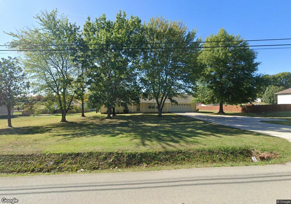
3367 Township Line Rd Poplar Bluff, MO 63901
Estimated Value: $262,732 - $650,000
Studio
--
Bath
3,756
Sq Ft
$100/Sq Ft
Est. Value
About This Home
This home is located at 3367 Township Line Rd, Poplar Bluff, MO 63901 and is currently estimated at $376,183, approximately $100 per square foot. 3367 Township Line Rd is a home with nearby schools including Oak Grove Elementary School, Poplar Bluff Fifth & Sixth Grade Center, and Poplar Bluff Junior High School.
Ownership History
Date
Name
Owned For
Owner Type
Purchase Details
Closed on
Sep 2, 2022
Sold by
Douglas Link Steven and Douglas Ann Cheryll
Bought by
Wilkerson Matthew Dale and Wilkerson Brandi Nicole
Current Estimated Value
Home Financials for this Owner
Home Financials are based on the most recent Mortgage that was taken out on this home.
Original Mortgage
$150,000
Outstanding Balance
$139,877
Interest Rate
3.75%
Mortgage Type
New Conventional
Estimated Equity
$236,306
Purchase Details
Closed on
Nov 12, 2015
Sold by
Link Steven Douglas and Link Cheryll Ann
Bought by
Link Steven Douglas and Link Cheryll Ann
Purchase Details
Closed on
Jan 25, 2005
Sold by
Link Sherry Beth
Bought by
Link Steven Douglas
Home Financials for this Owner
Home Financials are based on the most recent Mortgage that was taken out on this home.
Original Mortgage
$109,106
Interest Rate
5.85%
Mortgage Type
Future Advance Clause Open End Mortgage
Create a Home Valuation Report for This Property
The Home Valuation Report is an in-depth analysis detailing your home's value as well as a comparison with similar homes in the area
Home Values in the Area
Average Home Value in this Area
Purchase History
| Date | Buyer | Sale Price | Title Company |
|---|---|---|---|
| Wilkerson Matthew Dale | -- | -- | |
| Link Steven Douglas | -- | None Available | |
| Link Steven Douglas | -- | -- |
Source: Public Records
Mortgage History
| Date | Status | Borrower | Loan Amount |
|---|---|---|---|
| Open | Wilkerson Matthew Dale | $150,000 | |
| Previous Owner | Link Steven Douglas | $109,106 |
Source: Public Records
Tax History
| Year | Tax Paid | Tax Assessment Tax Assessment Total Assessment is a certain percentage of the fair market value that is determined by local assessors to be the total taxable value of land and additions on the property. | Land | Improvement |
|---|---|---|---|---|
| 2025 | $1,542 | $35,450 | $0 | $0 |
| 2024 | $15 | $32,860 | $0 | $0 |
| 2023 | $1,463 | $32,860 | $0 | $0 |
| 2022 | $1,414 | $31,820 | $0 | $0 |
| 2021 | $1,415 | $31,820 | $0 | $0 |
| 2020 | $1,312 | $29,050 | $0 | $0 |
| 2019 | $1,311 | $29,050 | $0 | $0 |
| 2018 | $1,311 | $29,050 | $0 | $0 |
| 2017 | -- | $29,050 | $0 | $0 |
| 2016 | -- | $29,050 | $0 | $0 |
| 2015 | -- | $29,050 | $0 | $0 |
| 2014 | -- | $27,180 | $0 | $0 |
| 2012 | $1,033 | $27,180 | $0 | $0 |
Source: Public Records
Map
Nearby Homes
- 66 County Road 445
- 353 Meadow View Dr
- 3841 County Road 441
- 192 Bruce
- 306 Timberwolf Dr
- 224 Timber Way Dr
- 547 County Road 448
- Lot 11 Timber Way Dr
- 177 Antler Trail
- 1149 Mistletoe Ln
- 205 Batson Lake Ln
- 2184 J Bird Dr
- 179 Autumn Breeze Rd
- 46 Red Cedar Blvd
- 140 Pondside Ln
- 202 Macintosh Ln
- 0 Mallard Trail Unit MIS26014074
- 00 Mallard Trail
- 2488 County Road 450
- 319 Pintail Ln
- 486 Link Dr
- 444 Link Dr
- 307 Link Dr
- 1149 County Road 442
- 277 Link Dr
- 547 Link Dr
- 3359 Township Line Rd
- 282 Link Dr
- 1095 County Road 442
- 298 Link Dr
- 3401 Township Line Rd
- 242 Link Dr
- 6998 Woodland Meadow Dr
- 1404 Victoria Rd
- 4900 Marion Dr
- 1210 Victoria Rd
- 4901 Marion Dr
- 3467 Township Line Rd
- 3422 Township Line Rd
- 4903 Marion Dr
Your Personal Tour Guide
Ask me questions while you tour the home.