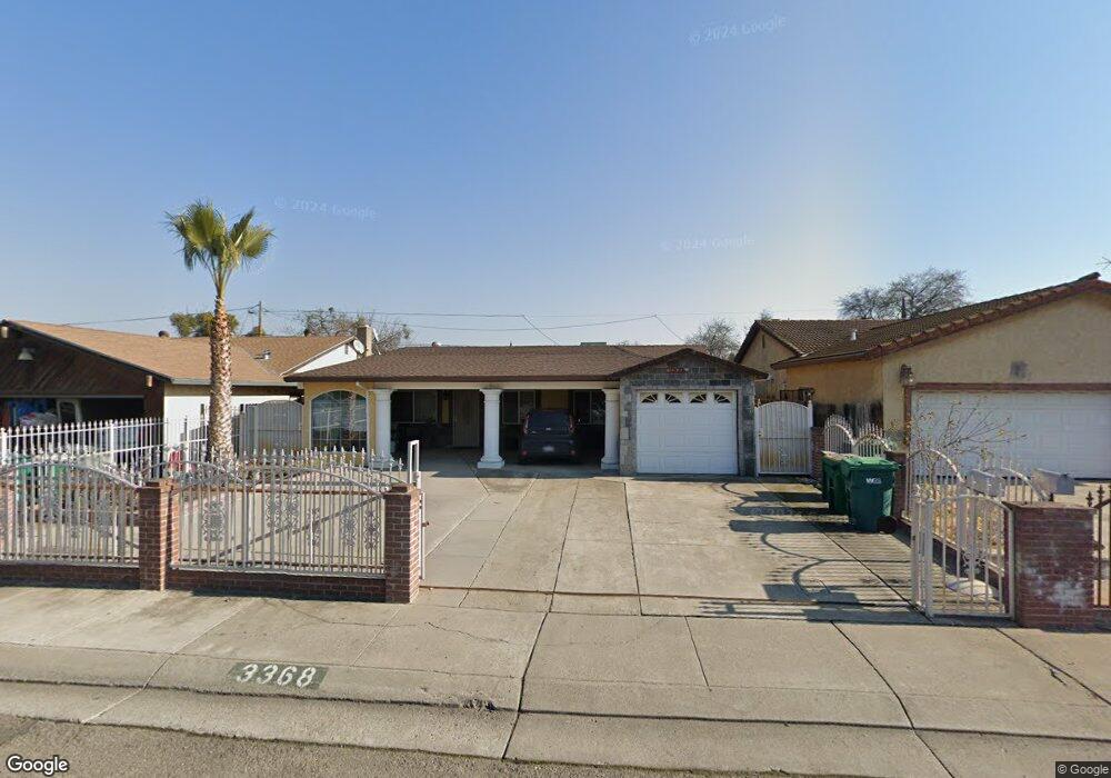
3368 S Airport Way Stockton, CA 95206
Kennedy NeighborhoodEstimated Value: $327,000 - $449,000
3
Beds
2
Baths
1,684
Sq Ft
$227/Sq Ft
Est. Value
About This Home
This home is located at 3368 S Airport Way, Stockton, CA 95206 and is currently estimated at $382,276, approximately $227 per square foot. 3368 S Airport Way is a home located in San Joaquin County with nearby schools including Van Buren Elementary School, Alexander Hamilton Elementary, and Monroe Elementary School.
Ownership History
Date
Name
Owned For
Owner Type
Purchase Details
Closed on
Aug 18, 2025
Sold by
Prado-Lucero Silvia I and Lucero Marissol
Bought by
Lucero 2022 Revocable Trust and Prado-Lucero
Current Estimated Value
Purchase Details
Closed on
Jun 8, 2021
Sold by
Prado Socorro V
Bought by
Prado Lucero Silvia I and Lucero Marissol
Purchase Details
Closed on
Jun 1, 2001
Sold by
Prado Miguel L and Prado Maria V
Bought by
Prado Socorro V
Create a Home Valuation Report for This Property
The Home Valuation Report is an in-depth analysis detailing your home's value as well as a comparison with similar homes in the area
Home Values in the Area
Average Home Value in this Area
Purchase History
| Date | Buyer | Sale Price | Title Company |
|---|---|---|---|
| Lucero 2022 Revocable Trust | -- | None Listed On Document | |
| Prado Lucero Silvia I | -- | None Available | |
| Prado Socorro V | -- | -- |
Source: Public Records
Tax History Compared to Growth
Tax History
| Year | Tax Paid | Tax Assessment Tax Assessment Total Assessment is a certain percentage of the fair market value that is determined by local assessors to be the total taxable value of land and additions on the property. | Land | Improvement |
|---|---|---|---|---|
| 2025 | $1,363 | $115,984 | $17,911 | $98,073 |
| 2024 | $1,340 | $113,710 | $17,560 | $96,150 |
| 2023 | $1,308 | $111,481 | $17,216 | $94,265 |
| 2022 | $1,292 | $109,296 | $16,879 | $92,417 |
| 2021 | $1,240 | $107,154 | $16,549 | $90,605 |
| 2020 | $1,263 | $106,056 | $16,380 | $89,676 |
| 2019 | $1,256 | $103,977 | $16,059 | $87,918 |
| 2018 | $1,231 | $101,940 | $15,745 | $86,195 |
| 2017 | $1,251 | $99,942 | $15,437 | $84,505 |
| 2016 | $1,273 | $97,982 | $15,134 | $82,848 |
| 2014 | $1,213 | $94,621 | $14,615 | $80,006 |
Source: Public Records
Map
Nearby Homes
- 3204 Volney St
- 3349 Zamora Way
- 3028 Malisa Way
- 3338 Zamora Way
- 1711 Benedino Cir
- 2427 S Pilgrim St
- 2150 Michael Ave
- 1646 E 8th St
- 1521 Spring St
- 2121 Scribner St
- 2288 E Loomis Rd
- 2318 E Loomis Rd
- 2321 Amboy Ave
- 2328 E Loomis Rd
- 1105 E 7th St
- 2041 Superior St
- 2348 E Loomis Rd
- 2343 Tidewind Dr
- 2033 Superior St
- Plan 2541 at Parkside at Kennedy Ranch
- 3404 S Airport Way
- 3360 S Airport Way
- 3352 S Airport Way
- 3412 S Airport Way
- 3367 Phelps St
- 3359 Phelps St
- 3403 Phelps St
- 3344 S Airport Way
- 3420 S Airport Way
- 3351 Phelps St
- 3411 Phelps St
- 3343 Phelps St
- 3419 Phelps St
- 3332 S Airport Way
- 3428 S Airport Way
- 3335 Phelps St
- 3427 Phelps St
- 3436 S Airport Way
- 3320 S Airport Way
- 3327 Phelps St