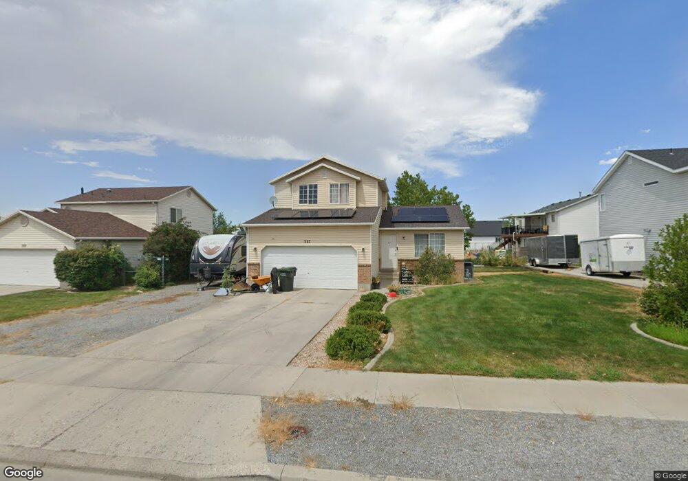
337 E 770 N Unit 487 Tooele, UT 84074
Estimated Value: $385,000 - $420,000
Studio
--
Bath
1,827
Sq Ft
$221/Sq Ft
Est. Value
About This Home
This home is located at 337 E 770 N Unit 487, Tooele, UT 84074 and is currently estimated at $403,778, approximately $221 per square foot. 337 E 770 N Unit 487 is a home located in Tooele County with nearby schools including Sterling Elementary School, Tooele Junior High School, and Tooele High School.
Ownership History
Date
Name
Owned For
Owner Type
Purchase Details
Closed on
Sep 28, 2020
Sold by
Cox Nicholas Nash and Cox Kathy Jo
Bought by
Cox Nicholas Nash and Cox Kathy Jo
Current Estimated Value
Home Financials for this Owner
Home Financials are based on the most recent Mortgage that was taken out on this home.
Original Mortgage
$217,000
Outstanding Balance
$191,256
Interest Rate
2.9%
Mortgage Type
New Conventional
Estimated Equity
$212,522
Create a Home Valuation Report for This Property
The Home Valuation Report is an in-depth analysis detailing your home's value as well as a comparison with similar homes in the area
Purchase History
| Date | Buyer | Sale Price | Title Company |
|---|---|---|---|
| Cox Nicholas Nash | -- | Placer Title Ins Agcy Of Ut |
Source: Public Records
Mortgage History
| Date | Status | Borrower | Loan Amount |
|---|---|---|---|
| Open | Cox Nicholas Nash | $217,000 |
Source: Public Records
Tax History
| Year | Tax Paid | Tax Assessment Tax Assessment Total Assessment is a certain percentage of the fair market value that is determined by local assessors to be the total taxable value of land and additions on the property. | Land | Improvement |
|---|---|---|---|---|
| 2025 | $2,372 | $359,703 | $102,500 | $257,203 |
| 2024 | $2,595 | $198,043 | $56,375 | $141,668 |
| 2023 | $2,595 | $200,330 | $53,689 | $146,641 |
| 2022 | $2,317 | $199,354 | $53,453 | $145,901 |
| 2021 | $1,857 | $133,612 | $21,381 | $112,231 |
| 2020 | $1,771 | $221,069 | $38,875 | $182,194 |
| 2019 | $1,665 | $204,506 | $38,875 | $165,631 |
| 2018 | $1,549 | $180,365 | $40,000 | $140,365 |
| 2017 | $1,110 | $153,334 | $32,500 | $120,834 |
| 2016 | $927 | $75,665 | $17,875 | $57,790 |
| 2015 | $927 | $67,447 | $0 | $0 |
| 2014 | -- | $67,447 | $0 | $0 |
Source: Public Records
Map
Nearby Homes
- 516 N Broadway Ave
- 332 E 880 N
- 252 E 715 N Unit 216
- 261 E 670 N Unit 220
- 337 E 910 N
- 795 N Brook Ave
- 698 Brook Ave E
- 151 E 730 N
- 931 Brook Ave E Unit A
- 535 E 670 N
- 237 E 960 N Unit D
- 135 E 730 N
- 180 1000 N
- 294 E 600 N
- 603 Valley View Dr
- 455 Lindy Way
- 677 Kings Landing
- 79 E 600 N
- 498 Parkway Ave
- 647 E 980 N
Your Personal Tour Guide
Ask me questions while you tour the home.