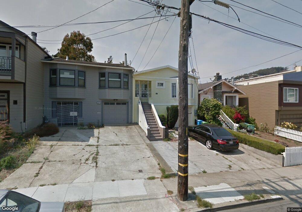
337 Edna St San Francisco, CA 94112
Sunnyside NeighborhoodEstimated Value: $998,000 - $1,193,280
3
Beds
1
Bath
875
Sq Ft
$1,291/Sq Ft
Est. Value
About This Home
This home is located at 337 Edna St, San Francisco, CA 94112 and is currently estimated at $1,129,320, approximately $1,290 per square foot. 337 Edna St is a home located in San Francisco County with nearby schools including Sunnyside Elementary School, Denman (James) Middle School, and Leadership High School.
Ownership History
Date
Name
Owned For
Owner Type
Purchase Details
Closed on
May 11, 2017
Sold by
Alexander Linda
Bought by
Alexander Linda
Current Estimated Value
Purchase Details
Closed on
May 29, 2012
Sold by
Reich Julia K
Bought by
Alexander Linda
Purchase Details
Closed on
Jan 3, 2002
Sold by
Reich Philip S
Bought by
Reich Philip S
Home Financials for this Owner
Home Financials are based on the most recent Mortgage that was taken out on this home.
Original Mortgage
$145,000
Interest Rate
7.01%
Create a Home Valuation Report for This Property
The Home Valuation Report is an in-depth analysis detailing your home's value as well as a comparison with similar homes in the area
Home Values in the Area
Average Home Value in this Area
Purchase History
| Date | Buyer | Sale Price | Title Company |
|---|---|---|---|
| Alexander Linda | -- | None Available | |
| Alexander Linda | $440,500 | First American Title Company | |
| Reich Philip S | -- | Commonwealth Land Title Co |
Source: Public Records
Mortgage History
| Date | Status | Borrower | Loan Amount |
|---|---|---|---|
| Previous Owner | Reich Philip S | $145,000 |
Source: Public Records
Tax History Compared to Growth
Tax History
| Year | Tax Paid | Tax Assessment Tax Assessment Total Assessment is a certain percentage of the fair market value that is determined by local assessors to be the total taxable value of land and additions on the property. | Land | Improvement |
|---|---|---|---|---|
| 2025 | $7,138 | $552,775 | $331,666 | $221,109 |
| 2024 | $7,138 | $541,937 | $325,163 | $216,774 |
| 2023 | $7,023 | $531,312 | $318,788 | $212,524 |
| 2022 | $6,878 | $520,895 | $312,538 | $208,357 |
| 2021 | $6,752 | $510,682 | $306,410 | $204,272 |
| 2020 | $6,848 | $505,447 | $303,269 | $202,178 |
| 2019 | $6,568 | $495,537 | $297,323 | $198,214 |
| 2018 | $6,349 | $485,822 | $291,494 | $194,328 |
| 2017 | $5,976 | $476,297 | $285,779 | $190,518 |
| 2016 | $5,858 | $466,959 | $280,176 | $186,783 |
| 2015 | $5,785 | $459,946 | $275,968 | $183,978 |
| 2014 | $5,634 | $450,938 | $270,563 | $180,375 |
Source: Public Records
Map
Nearby Homes
- 258 Flood Ave
- 335 Hearst Ave
- 201 Detroit St
- 554 Monterey Blvd
- 471 Joost Ave
- 538 Joost Ave
- 574 Mangels Ave
- 726 Joost Ave
- 47 Melrose Ave
- 1849 San Jose Ave
- 222 Monterey Blvd
- 473 Melrose Ave
- 815 Joost Ave
- 841 Ocean Ave
- 101 Joost Ave
- 225 Cotter St
- 58 Monterey Blvd
- 52-54 Eastwood Dr
- 150-152 Onondaga Ave
- 54 Eastwood Dr