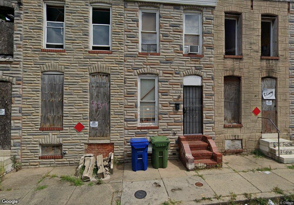
337 Furrow St Baltimore, MD 21223
Carrollton Ridge NeighborhoodEstimated Value: $47,923 - $49,000
Studio
--
Bath
--
Sq Ft
784
Sq Ft Lot
About This Home
This home is located at 337 Furrow St, Baltimore, MD 21223 and is currently estimated at $48,462. 337 Furrow St is a home located in Baltimore City with nearby schools including Booker T. Washington Middle School, Frederick Douglass High School, and Digital Harbor High School.
Ownership History
Date
Name
Owned For
Owner Type
Purchase Details
Closed on
May 31, 2007
Sold by
Ellis Charles G
Bought by
Godfrey Yeno F and Thon Ayabavi
Current Estimated Value
Home Financials for this Owner
Home Financials are based on the most recent Mortgage that was taken out on this home.
Original Mortgage
$60,000
Interest Rate
6.18%
Mortgage Type
Purchase Money Mortgage
Purchase Details
Closed on
Feb 13, 2004
Sold by
Deutsche Bank Trust Company
Bought by
Ellis Charles G
Purchase Details
Closed on
Aug 5, 2003
Sold by
Mallory Michael
Bought by
Deutsche Bank Trust Company and Americas As
Purchase Details
Closed on
Nov 15, 1999
Sold by
Mallory Michael
Bought by
Mallory Michael and Mallory Cynthnia
Purchase Details
Closed on
Jun 13, 1994
Sold by
Fultz J R
Bought by
Mallory Michael
Home Financials for this Owner
Home Financials are based on the most recent Mortgage that was taken out on this home.
Original Mortgage
$21,257
Interest Rate
8.29%
Create a Home Valuation Report for This Property
The Home Valuation Report is an in-depth analysis detailing your home's value as well as a comparison with similar homes in the area
Home Values in the Area
Average Home Value in this Area
Purchase History
| Date | Buyer | Sale Price | Title Company |
|---|---|---|---|
| Godfrey Yeno F | $25,000 | -- | |
| Ellis Charles G | $9,900 | -- | |
| Deutsche Bank Trust Company | $11,700 | -- | |
| Mallory Michael | -- | -- | |
| Mallory Michael | $20,900 | -- |
Source: Public Records
Mortgage History
| Date | Status | Borrower | Loan Amount |
|---|---|---|---|
| Closed | Godfrey Yeno F | $60,000 | |
| Previous Owner | Mallory Michael | $21,257 |
Source: Public Records
Tax History
| Year | Tax Paid | Tax Assessment Tax Assessment Total Assessment is a certain percentage of the fair market value that is determined by local assessors to be the total taxable value of land and additions on the property. | Land | Improvement |
|---|---|---|---|---|
| 2025 | $277 | $13,400 | -- | -- |
| 2024 | $277 | $11,800 | -- | -- |
| 2023 | $241 | $10,200 | $2,000 | $8,200 |
| 2022 | $208 | $8,800 | $0 | $0 |
| 2021 | $175 | $7,400 | $0 | $0 |
| 2020 | $142 | $6,000 | $2,000 | $4,000 |
| 2019 | $117 | $5,000 | $0 | $0 |
| 2018 | $94 | $4,000 | $0 | $0 |
| 2017 | $71 | $3,000 | $0 | $0 |
| 2016 | $711 | $3,000 | $0 | $0 |
| 2015 | $711 | $3,000 | $0 | $0 |
| 2014 | $711 | $30,000 | $0 | $0 |
Source: Public Records
Map
Nearby Homes
- 406 S Smallwood St
- 411 Furrow St
- 347 S Smallwood St
- 422 S Smallwood St
- 407 S Smallwood St
- 426 S Smallwood St
- 430 S Smallwood St
- 408 S Bentalou St
- 2202 Ashton St
- 2122 Ashton St
- 2112 Wilhelm St
- 2106 Wilhelm St
- 2108 Ashton St
- 439 S Bentalou St
- 213 Furrow St
- 213 S Bentalou St
- 312 S Pulaski St
- 302 S Pulaski St
- 480 S Bentalou St
- 2211 W Pratt St
- 339 Furrow St
- 341 Furrow St
- 343 Furrow St
- 335 Furrow St
- 345 Furrow St
- 333 Furrow St
- 347 Furrow St
- 331 Furrow St
- 349 Furrow St
- 329 Furrow St
- 351 Furrow St
- 327 Furrow St
- 338 S Smallwood St
- 340 S Smallwood St
- 336 S Smallwood St
- 342 S Smallwood St
- 334 S Smallwood St
- 353 Furrow St
- 344 S Smallwood St
- 332 S Smallwood St
Your Personal Tour Guide
Ask me questions while you tour the home.