Estimated Value: $255,945 - $322,000
--
Bed
--
Bath
--
Sq Ft
5.4
Acres
About This Home
This home is located at 337 King St, Hiram, ME 04041 and is currently estimated at $286,486. 337 King St is a home.
Create a Home Valuation Report for This Property
The Home Valuation Report is an in-depth analysis detailing your home's value as well as a comparison with similar homes in the area
Home Values in the Area
Average Home Value in this Area
Tax History Compared to Growth
Tax History
| Year | Tax Paid | Tax Assessment Tax Assessment Total Assessment is a certain percentage of the fair market value that is determined by local assessors to be the total taxable value of land and additions on the property. | Land | Improvement |
|---|---|---|---|---|
| 2024 | $1,948 | $179,030 | $58,580 | $120,450 |
| 2023 | $1,896 | $153,400 | $46,860 | $106,540 |
| 2022 | $1,735 | $117,880 | $39,050 | $78,830 |
| 2021 | $1,530 | $104,740 | $39,050 | $65,690 |
| 2020 | $1,523 | $104,740 | $39,050 | $65,690 |
| 2019 | $1,523 | $104,740 | $39,050 | $65,690 |
| 2018 | $1,526 | $104,740 | $39,050 | $65,690 |
| 2017 | $1,497 | $104,740 | $39,050 | $65,690 |
| 2016 | $1,539 | $104,740 | $39,050 | $65,690 |
Source: Public Records
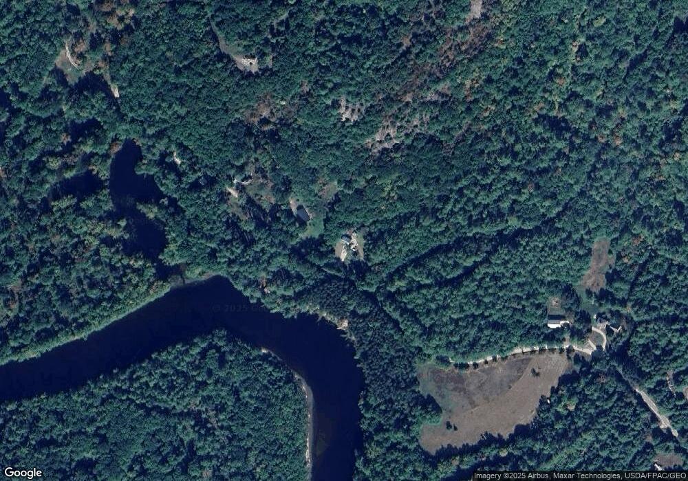
Map
Nearby Homes
- 94 Hiram Hill Rd
- 15 Promised Land Dr
- Lot 43 Rattlesnake Rd
- 75 Ernest Day Rd
- 123 Rattlesnake Rd
- 15 Richardson Rd
- 17 Wakefield Rd
- 9 Whale Rock Ln
- 697 Bull Ring Rd
- 10 Caitlin Dr
- 21 Dearborn Rd
- TBD Portland Ln
- 341 Narrow Gauge Trail
- Lot U17-6 Narrow Gauge Trail
- 154 Allen Rd
- 314 Notch Rd
- 96 Ledgewood Ln
- 80 Pasture Ln
- 79 Pasture Ln
- 80A Pasture Ln