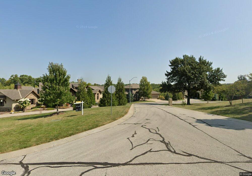
337 NW Thoreau Cir Lees Summit, MO 64081
Estimated Value: $885,000 - $1,181,748
4
Beds
5
Baths
3,299
Sq Ft
$302/Sq Ft
Est. Value
About This Home
This home is located at 337 NW Thoreau Cir, Lees Summit, MO 64081 and is currently estimated at $996,249, approximately $301 per square foot. 337 NW Thoreau Cir is a home located in Jackson County with nearby schools including Cedar Creek Elementary School, Pleasant Lea Middle School, and Lee's Summit Senior High School.
Ownership History
Date
Name
Owned For
Owner Type
Purchase Details
Closed on
Feb 8, 2023
Sold by
Gale Communities Inc
Bought by
Winterset Community Assn Inc
Current Estimated Value
Purchase Details
Closed on
Nov 24, 2014
Sold by
Macdermott Development Llc
Bought by
Nastasi Laura E and Nastasi Joe A
Home Financials for this Owner
Home Financials are based on the most recent Mortgage that was taken out on this home.
Original Mortgage
$420,000
Interest Rate
2.5%
Mortgage Type
Adjustable Rate Mortgage/ARM
Purchase Details
Closed on
Jun 11, 2013
Sold by
Gale Communities Inc
Bought by
Macdermott Development Llc
Home Financials for this Owner
Home Financials are based on the most recent Mortgage that was taken out on this home.
Original Mortgage
$592,000
Interest Rate
3.38%
Mortgage Type
Construction
Create a Home Valuation Report for This Property
The Home Valuation Report is an in-depth analysis detailing your home's value as well as a comparison with similar homes in the area
Home Values in the Area
Average Home Value in this Area
Purchase History
| Date | Buyer | Sale Price | Title Company |
|---|---|---|---|
| Winterset Community Assn Inc | -- | None Listed On Document | |
| Nastasi Laura E | -- | Coffelt Land Title Inc | |
| Macdermott Development Llc | -- | Coffelt Land Title Inc |
Source: Public Records
Mortgage History
| Date | Status | Borrower | Loan Amount |
|---|---|---|---|
| Previous Owner | Nastasi Laura E | $420,000 | |
| Previous Owner | Macdermott Development Llc | $592,000 |
Source: Public Records
Tax History Compared to Growth
Tax History
| Year | Tax Paid | Tax Assessment Tax Assessment Total Assessment is a certain percentage of the fair market value that is determined by local assessors to be the total taxable value of land and additions on the property. | Land | Improvement |
|---|---|---|---|---|
| 2025 | $11,318 | $166,250 | $28,359 | $137,891 |
| 2024 | $11,318 | $156,750 | $38,000 | $118,750 |
| 2023 | $13,083 | $182,514 | $27,550 | $154,964 |
| 2022 | $12,109 | $150,005 | $25,848 | $124,157 |
| 2021 | $12,360 | $150,005 | $25,848 | $124,157 |
| 2020 | $12,632 | $151,810 | $25,848 | $125,962 |
| 2019 | $12,287 | $151,810 | $25,848 | $125,962 |
| 2018 | $1,755,932 | $140,600 | $22,496 | $118,104 |
| 2017 | $12,388 | $155,150 | $22,496 | $132,654 |
| 2016 | $12,388 | $140,601 | $32,481 | $108,120 |
| 2014 | $876 | $9,744 | $9,744 | $0 |
Source: Public Records
Map
Nearby Homes
- 320 NW Lovins
- 321 NW Lovins
- 317 NW Lovins
- 316 NW Lovins
- 2704 SW Gray Ln
- 205 NW Lovins
- Mariah Plan at Winterset Valley
- Ashland Plan at Winterset Valley
- Oakleigh Plan at Winterset Valley
- Forrester 2824 Plan at Winterset Valley
- Regency Plan at Winterset Valley
- Bentley Plan at Winterset Valley
- Forrester II Plan at Winterset Valley
- Oakshire Plan at Winterset Valley
- Windsong Plan at Winterset Valley
- Mariner II Plan at Winterset Valley
- Carolina Plan at Winterset Valley
- Mariner Plan at Winterset Valley
- Monticello Plan at Winterset Valley
- Monterey Plan at Winterset Valley
- 341 NW Thoreau Cir
- 333 NW Thoreau Cir
- 309 NW Thoreau Cir
- 325 NW Thoreau Ct
- 336 NW Thoreau Cir
- 332 NW Thoreau Cir
- 321 NW Thoreau Ct
- 328 NW Thoreau Cir
- 304 NW Thoreau Cir
- 320 NW Thoreau Cir
- 324 NW Thoreau Cir
- 317 NW Thoreau Ct
- 300 NW Thoreau Cir
- 305 NW Thoreau Cir
- 2716 NW Thoreau Dr
- 2800 NW Audubon Ln
- 309 NW Thoreau Ct
- 2724 NW Thoreau Dr
- 2708 NW Thoreau Dr
- 2801 NW Nutall Ct