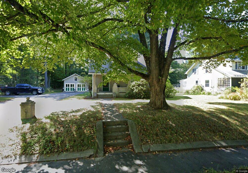
337 Pelham Rd Amherst, MA 01002
Amherst NeighborhoodEstimated Value: $409,000 - $463,000
4
Beds
2
Baths
1,269
Sq Ft
$344/Sq Ft
Est. Value
About This Home
This home is located at 337 Pelham Rd, Amherst, MA 01002 and is currently estimated at $436,827, approximately $344 per square foot. 337 Pelham Rd is a home located in Hampshire County with nearby schools including Fort River Elementary School, Amherst Regional Middle School, and Amherst Regional High School.
Ownership History
Date
Name
Owned For
Owner Type
Purchase Details
Closed on
May 22, 1995
Sold by
Gates Jerald H
Bought by
Theilman Paul
Current Estimated Value
Home Financials for this Owner
Home Financials are based on the most recent Mortgage that was taken out on this home.
Original Mortgage
$73,200
Interest Rate
8.34%
Mortgage Type
Purchase Money Mortgage
Create a Home Valuation Report for This Property
The Home Valuation Report is an in-depth analysis detailing your home's value as well as a comparison with similar homes in the area
Home Values in the Area
Average Home Value in this Area
Purchase History
| Date | Buyer | Sale Price | Title Company |
|---|---|---|---|
| Theilman Paul | $91,500 | -- |
Source: Public Records
Mortgage History
| Date | Status | Borrower | Loan Amount |
|---|---|---|---|
| Open | Johnson Richard O | $65,000 | |
| Closed | Johnson Richard O | $10,000 | |
| Closed | Johnson Richard O | $77,000 | |
| Closed | Johnson Richard O | $73,200 |
Source: Public Records
Tax History Compared to Growth
Tax History
| Year | Tax Paid | Tax Assessment Tax Assessment Total Assessment is a certain percentage of the fair market value that is determined by local assessors to be the total taxable value of land and additions on the property. | Land | Improvement |
|---|---|---|---|---|
| 2025 | $68 | $376,100 | $184,200 | $191,900 |
| 2024 | $6,578 | $355,400 | $173,800 | $181,600 |
| 2023 | $6,315 | $314,200 | $158,000 | $156,200 |
| 2022 | $6,102 | $286,900 | $143,600 | $143,300 |
| 2021 | $5,802 | $265,900 | $133,000 | $132,900 |
| 2020 | $5,669 | $265,900 | $133,000 | $132,900 |
| 2019 | $5,544 | $254,300 | $133,000 | $121,300 |
| 2018 | $5,376 | $254,300 | $133,000 | $121,300 |
| 2017 | $5,132 | $235,100 | $126,700 | $108,400 |
| 2016 | $4,989 | $235,100 | $126,700 | $108,400 |
| 2015 | $4,829 | $235,100 | $126,700 | $108,400 |
Source: Public Records
Map
Nearby Homes
- 61 S Valley Rd
- 7 Moss Ln
- 12 Chadwick Ct
- 6 Webster Ct
- 20 Salem Place
- 11 Dayton Ln
- 123 Maplewood Cir
- 305 Strong St
- 57 Tanglewood Rd
- 0 Red Gate Ln Unit 73348273
- 116 High St
- 60 Red Gate Ln
- 55 Gray St
- 36 Railroad St
- 17 Palley Village Place
- 63 Larkspur Dr
- 130 Linden Ridge Rd
- 237 Shutesbury Rd
- 289 Triangle St
- 60 Buffam Rd