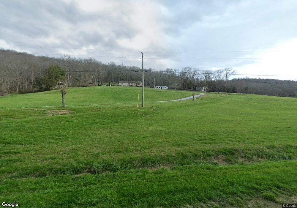
337 Pig Branch Rd Brush Creek, TN 38547
Estimated Value: $176,000 - $395,000
--
Bed
1
Bath
1,592
Sq Ft
$209/Sq Ft
Est. Value
About This Home
This home is located at 337 Pig Branch Rd, Brush Creek, TN 38547 and is currently estimated at $333,128, approximately $209 per square foot. 337 Pig Branch Rd is a home located in Smith County with nearby schools including New Middleton Elementary School and Gordonsville High School.
Ownership History
Date
Name
Owned For
Owner Type
Purchase Details
Closed on
May 16, 2025
Sold by
Gregory Marcia Deanne and Woodard Tammy Denise
Bought by
Woodard Tammy Denise
Current Estimated Value
Purchase Details
Closed on
May 4, 2017
Sold by
Manning Eunice Ann
Bought by
Manning Ashley Sue
Purchase Details
Closed on
Apr 20, 1998
Sold by
Eunice Manning
Bought by
Eunice Manning Eunice and Eunice Bi
Purchase Details
Closed on
Aug 2, 1994
Sold by
George Campbell
Bought by
Randall Woodard
Purchase Details
Closed on
Dec 30, 1974
Bought by
Campbell Arla Etvir George
Create a Home Valuation Report for This Property
The Home Valuation Report is an in-depth analysis detailing your home's value as well as a comparison with similar homes in the area
Home Values in the Area
Average Home Value in this Area
Purchase History
| Date | Buyer | Sale Price | Title Company |
|---|---|---|---|
| Woodard Tammy Denise | -- | None Listed On Document | |
| Manning Ashley Sue | $6,000 | -- | |
| Eunice Manning Eunice | $50,000 | -- | |
| Randall Woodard | -- | -- | |
| Campbell Arla Etvir George | -- | -- |
Source: Public Records
Tax History Compared to Growth
Tax History
| Year | Tax Paid | Tax Assessment Tax Assessment Total Assessment is a certain percentage of the fair market value that is determined by local assessors to be the total taxable value of land and additions on the property. | Land | Improvement |
|---|---|---|---|---|
| 2024 | $729 | $42,075 | $15,400 | $26,675 |
| 2023 | $729 | $42,075 | $0 | $0 |
| 2022 | $729 | $42,075 | $15,400 | $26,675 |
| 2021 | $653 | $26,350 | $12,475 | $13,875 |
| 2020 | $719 | $26,350 | $12,475 | $13,875 |
| 2019 | $719 | $26,350 | $12,475 | $13,875 |
| 2018 | $564 | $26,350 | $12,475 | $13,875 |
| 2017 | $576 | $26,350 | $12,475 | $13,875 |
| 2016 | $535 | $23,050 | $12,650 | $10,400 |
| 2015 | $535 | $23,075 | $12,650 | $10,425 |
| 2014 | $535 | $23,075 | $12,650 | $10,425 |
Source: Public Records
Map
Nearby Homes
- 0 John Donald Ln
- 115 Agee Branch Ln
- 15 Cloverdale Ln
- 76 Agee Branch Ln
- 0 Winfree Ln
- 157 Hillcrest Cir
- 371 Maple St
- 356 Maple St
- 56 Main St E
- 130 Gordon Dr
- 148 Maple St
- 0 Maple St
- 260 New Middleton Hwy
- 361 New Middleton Hwy
- 0 Rogers Rd
- 263 Hogan Rd
- 319 Hogan Rd
- 108 Crows Hill Dr
- 102 Alice Preston Loop
- 150 Alice Preston Loop
- 315 Pig Branch Rd
- 313 Pig Branch Rd
- 307 Pig Branch Rd
- 331 Pig Branch Rd
- 295 Pig Branch Rd
- 124 Sykes Rd
- 11 Iron Horse Ln
- 126 Sykes Rd
- 136 Sykes Rd
- 285 Pig Branch Rd
- 102 Sykes Rd
- 56 Sykes Rd
- 279 Pig Branch Rd
- 146 Sykes Rd
- 284 Pig Branch Rd
- 150 Sykes Rd
- 261 Pig Branch Rd
- 105 Sykes Rd
- 105 Sykes Rd
- 105 Sykes Rd