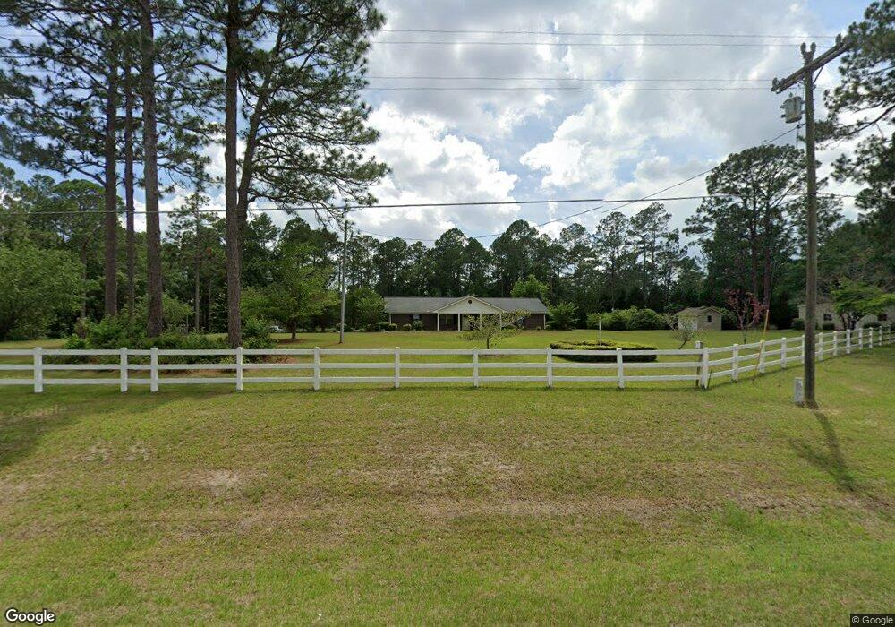
337 Red Rock Rd Sylvester, GA 31791
Estimated Value: $267,000 - $399,000
3
Beds
3
Baths
2,475
Sq Ft
$128/Sq Ft
Est. Value
About This Home
This home is located at 337 Red Rock Rd, Sylvester, GA 31791 and is currently estimated at $315,864, approximately $127 per square foot. 337 Red Rock Rd is a home located in Worth County with nearby schools including Worth County Primary School, Worth County Elementary School, and Worth County Middle School.
Ownership History
Date
Name
Owned For
Owner Type
Purchase Details
Closed on
Nov 30, 2022
Sold by
Rouse Henry Tillman Estate
Bought by
Hamilton Henry Tracy
Current Estimated Value
Home Financials for this Owner
Home Financials are based on the most recent Mortgage that was taken out on this home.
Original Mortgage
$260,000
Outstanding Balance
$252,198
Interest Rate
6.95%
Mortgage Type
New Conventional
Estimated Equity
$63,666
Purchase Details
Closed on
Jul 12, 1991
Bought by
Rouse Henry T and Rouse Janice
Create a Home Valuation Report for This Property
The Home Valuation Report is an in-depth analysis detailing your home's value as well as a comparison with similar homes in the area
Home Values in the Area
Average Home Value in this Area
Purchase History
| Date | Buyer | Sale Price | Title Company |
|---|---|---|---|
| Hamilton Henry Tracy | $300,000 | -- | |
| Rouse Henry T | $74,500 | -- |
Source: Public Records
Mortgage History
| Date | Status | Borrower | Loan Amount |
|---|---|---|---|
| Open | Hamilton Henry Tracy | $260,000 |
Source: Public Records
Tax History Compared to Growth
Tax History
| Year | Tax Paid | Tax Assessment Tax Assessment Total Assessment is a certain percentage of the fair market value that is determined by local assessors to be the total taxable value of land and additions on the property. | Land | Improvement |
|---|---|---|---|---|
| 2024 | $2,443 | $76,289 | $6,475 | $69,814 |
| 2023 | $2,443 | $76,289 | $6,475 | $69,814 |
| 2022 | $2,272 | $72,197 | $6,475 | $65,722 |
| 2021 | $2,249 | $72,197 | $6,475 | $65,722 |
| 2020 | $2,252 | $72,197 | $6,475 | $65,722 |
| 2019 | $2,160 | $68,979 | $6,475 | $62,504 |
| 2018 | $1,976 | $68,979 | $6,475 | $62,504 |
| 2017 | $1,976 | $68,979 | $6,475 | $62,504 |
| 2016 | $1,920 | $68,979 | $6,475 | $62,504 |
| 2015 | $1,921 | $68,979 | $6,475 | $62,504 |
| 2014 | $1,917 | $68,979 | $6,475 | $62,504 |
| 2013 | -- | $68,036 | $5,533 | $62,504 |
| 2012 | -- | $68,036 | $5,532 | $62,503 |
Source: Public Records
Map
Nearby Homes
- 128 Airport Rd
- 115 Northlake Dr
- 109 Huntington Ct
- 0 N Isabella St Unit 161570
- 701 N Isabella St
- 1102 N Washington St
- 100 Carriage Ln
- 1011 N Washington St
- 112 Creekwood Cir
- 1007 N Isabella St
- 101 Elm St
- 163 Country Woods Ct
- 801 N Washington St
- 107 Gardner Rd
- 0 W Pinson St Unit 10582366
- 103 N Ayers St
- 203 E Pinson St
- 117 Donna Dr
- 1432 S Ga Hwy 33s
- 307 E Pope St
- 541 San Barnard Rd
- 327 Red Rock Rd
- 535 San Barnard Rd
- 540 San Barnard Rd
- 320 Red Rock Rd
- 319 Red Rock Rd
- 379 Red Rock Rd
- 109 San Barnard Rd
- 430 San Barnard Rd
- 222 San Barnard Rd
- 522 San Barnard Rd
- 117 San Barnard Rd
- 249 Red Rock Rd
- 158 Sassafras Ln
- 248 Red Rock Rd
- 360 Red Rock Rd
- 172 Sassafras Ln
- 389 Red Rock Rd
- 150 Sassafras Ln
- 512 San Barnard Rd