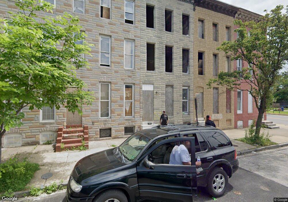
337 S Payson St Baltimore, MD 21223
Mount Clare NeighborhoodEstimated Value: $96,000 - $468,974
Studio
--
Bath
--
Sq Ft
1,481
Sq Ft Lot
About This Home
This home is located at 337 S Payson St, Baltimore, MD 21223 and is currently estimated at $282,487. 337 S Payson St is a home located in Baltimore City with nearby schools including Booker T. Washington Middle School, Digital Harbor High School, and Frederick Douglass High School.
Ownership History
Date
Name
Owned For
Owner Type
Purchase Details
Closed on
Feb 24, 2009
Sold by
337 South Payson Llc
Bought by
Nakitto Annet
Current Estimated Value
Purchase Details
Closed on
Feb 1, 2005
Sold by
Neal Francelle
Bought by
337 South Payson Llc
Purchase Details
Closed on
Nov 7, 2003
Sold by
Davis Tom
Bought by
Neal Francelle
Purchase Details
Closed on
Dec 4, 2001
Sold by
Bea Gaddy Family Centers Inc
Bought by
Davis Tom and Czapski Rick
Purchase Details
Closed on
Sep 9, 1997
Sold by
Bea Gaddy Ramily Centers Inc
Bought by
Bea Gaddy Family Centers Inc
Purchase Details
Closed on
May 25, 1994
Sold by
Podles R A
Bought by
Parrinello Paul R
Home Financials for this Owner
Home Financials are based on the most recent Mortgage that was taken out on this home.
Original Mortgage
$18,400
Interest Rate
8.22%
Create a Home Valuation Report for This Property
The Home Valuation Report is an in-depth analysis detailing your home's value as well as a comparison with similar homes in the area
Home Values in the Area
Average Home Value in this Area
Purchase History
| Date | Buyer | Sale Price | Title Company |
|---|---|---|---|
| Nakitto Annet | $230,000 | -- | |
| 337 South Payson Llc | -- | -- | |
| Neal Francelle | $12,000 | -- | |
| Davis Tom | $5,000 | -- | |
| Bea Gaddy Family Centers Inc | -- | -- | |
| Parrinello Paul R | $32,500 | -- |
Source: Public Records
Mortgage History
| Date | Status | Borrower | Loan Amount |
|---|---|---|---|
| Previous Owner | Parrinello Paul R | $18,400 |
Source: Public Records
Tax History
| Year | Tax Paid | Tax Assessment Tax Assessment Total Assessment is a certain percentage of the fair market value that is determined by local assessors to be the total taxable value of land and additions on the property. | Land | Improvement |
|---|---|---|---|---|
| 2025 | $277 | $13,400 | -- | -- |
| 2024 | $277 | $11,800 | -- | -- |
| 2023 | $241 | $10,200 | $2,000 | $8,200 |
| 2022 | $208 | $8,800 | $0 | $0 |
| 2021 | $175 | $7,400 | $0 | $0 |
| 2020 | $142 | $6,000 | $2,000 | $4,000 |
| 2019 | $141 | $6,000 | $2,000 | $4,000 |
| 2018 | $142 | $6,000 | $2,000 | $4,000 |
| 2017 | $354 | $15,000 | $0 | $0 |
| 2016 | $355 | $15,000 | $0 | $0 |
| 2015 | $355 | $15,000 | $0 | $0 |
| 2014 | $355 | $15,000 | $0 | $0 |
Source: Public Records
Map
Nearby Homes
- 1932 Christian St
- 1930 Christian St
- 1919 Christian St
- 1913 Christian St
- 346 S Payson St
- 430 S Payson St
- 328 S Payson St
- 2008 Wilkens Ave
- 1840 Ramsay St
- 409 S Pulaski St
- 1834 Wilkens Ave
- 1839 Ramsay St
- 2017 Wilkens Ave
- 307 S Pulaski St
- 510 S Payson St
- 1821 Wilhelm St
- 1821 Ramsay St
- 2012 Eagle St
- 312 S Pulaski St
- 2108 Ashton St
- 335 S Payson St
- 339 S Payson St
- 333 S Payson St
- 341 S Payson St
- 331 S Payson St
- 329 S Payson St
- 1928 Ramsay St
- 327 S Payson St
- 1926 Ramsay St
- 325 S Payson St
- 1924 Ramsay St
- 1922 Ramsay St
- 323 S Payson St
- 1933 Wilhelm St
- 1931 Wilhelm St
- 1920 Ramsay St
- 1929 Wilhelm St
- 1918 Ramsay St
- 1927 Wilhelm St
- 1925 Wilhelm St
Your Personal Tour Guide
Ask me questions while you tour the home.