337 Sawtooth Dr Whitefish, MT 59937
Estimated Value: $1,103,000 - $1,208,000
3
Beds
3
Baths
2,247
Sq Ft
$508/Sq Ft
Est. Value
About This Home
This home is located at 337 Sawtooth Dr, Whitefish, MT 59937 and is currently estimated at $1,141,652, approximately $508 per square foot. 337 Sawtooth Dr is a home located in Flathead County with nearby schools including L.A. Muldown School, Whitefish Middle School, and Whitefish High School.
Ownership History
Date
Name
Owned For
Owner Type
Purchase Details
Closed on
Nov 3, 2021
Sold by
Mueller Juergen
Bought by
Ironouse Realty Corporation
Current Estimated Value
Purchase Details
Closed on
Mar 14, 2017
Sold by
Tc Development Llc
Bought by
Mueller Juergen
Home Financials for this Owner
Home Financials are based on the most recent Mortgage that was taken out on this home.
Original Mortgage
$359,000
Interest Rate
4.19%
Mortgage Type
New Conventional
Purchase Details
Closed on
Jul 9, 2015
Sold by
Blenner Hassett Bill and Blenner Hassett Karen
Bought by
Tc Development Llc
Purchase Details
Closed on
Nov 6, 2013
Sold by
Patriot Properties Llc
Bought by
Blenner Massett Bill and Blenner Massett Karen
Create a Home Valuation Report for This Property
The Home Valuation Report is an in-depth analysis detailing your home's value as well as a comparison with similar homes in the area
Home Values in the Area
Average Home Value in this Area
Purchase History
| Date | Buyer | Sale Price | Title Company |
|---|---|---|---|
| Ironouse Realty Corporation | -- | Insured Titles | |
| Mueller Juergen | -- | Atec | |
| Tc Development Llc | -- | Fidelity National Title | |
| Blenner Massett Bill | -- | First American Title Company |
Source: Public Records
Mortgage History
| Date | Status | Borrower | Loan Amount |
|---|---|---|---|
| Previous Owner | Mueller Juergen | $359,000 |
Source: Public Records
Tax History
| Year | Tax Paid | Tax Assessment Tax Assessment Total Assessment is a certain percentage of the fair market value that is determined by local assessors to be the total taxable value of land and additions on the property. | Land | Improvement |
|---|---|---|---|---|
| 2025 | $4,374 | $1,173,700 | $0 | $0 |
| 2024 | $3,981 | $795,500 | $0 | $0 |
| 2023 | $4,235 | $795,500 | $0 | $0 |
| 2022 | $3,699 | $519,800 | $0 | $0 |
| 2021 | $4,172 | $519,800 | $0 | $0 |
| 2020 | $3,923 | $452,400 | $0 | $0 |
| 2019 | $4,209 | $452,400 | $0 | $0 |
| 2018 | $4,435 | $472,600 | $0 | $0 |
| 2017 | $4,136 | $472,600 | $0 | $0 |
| 2016 | $3,653 | $57,295 | $0 | $0 |
| 2015 | $674 | $57,295 | $0 | $0 |
| 2014 | $874 | $49,248 | $0 | $0 |
Source: Public Records
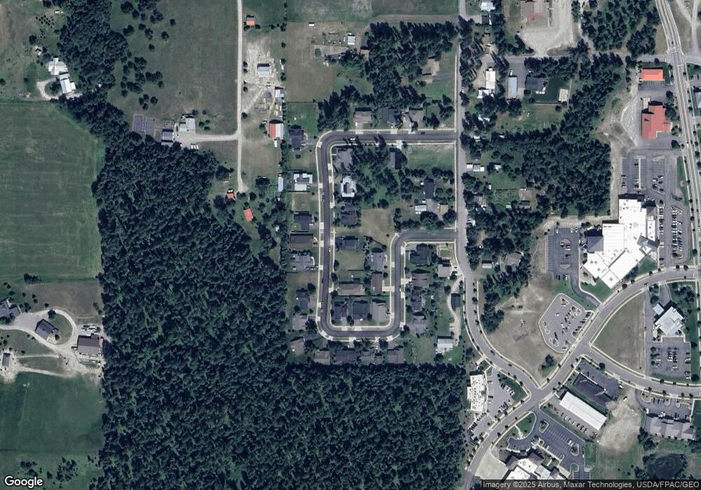
Map
Nearby Homes
- 305 Sawtooth Dr
- 704 Obrien Ave
- 704 13th St E Unit Lot 1 B
- NHN Baker Ave
- 841, 845, 851 Baker Ave
- 105 Wildcat Way Unit 304
- 105 Wildcat Way Unit 301
- 105 Wildcat Way Unit 202
- 105 Wildcat Way Unit 303
- 105 Wildcat Way Unit 204
- 105 Wildcat Way Unit 203
- 105 Wildcat Way Unit 201
- 105 Wildcat Way Unit 302
- 602 Geddes Ave
- 1860 Baker Ave
- 264 Canopy Trail
- 262 Canopy Trail
- 266 Canopy Trail
- 268 Canopy Trail
- 620 E 6th St
- 337 Sawtooth Dr
- 341 Sawtooth Dr
- 389 Sawtooth Dr
- 389 Sawtooth Dr
- 345 Sawtooth Dr
- 333 Sawtooth Dr
- 349 Sawtooth Dr
- 383 Sawtooth Dr
- 340 Sawtooth Dr
- 344 Sawtooth Dr
- 336 Sawtooth Dr
- 0 Sawtooth Dr Unit 241742
- 0 Sawtooth Dr Unit 296104
- 0 Sawtooth Dr Unit 299379
- 0 Sawtooth Dr Unit 296099
- 0 Sawtooth Dr Unit 296106
- 0 Sawtooth Dr Unit 296101
- 0 Sawtooth Dr Unit 296107
- 0 Sawtooth Dr Unit 296105
- 0 Sawtooth Dr Unit 296102
Your Personal Tour Guide
Ask me questions while you tour the home.