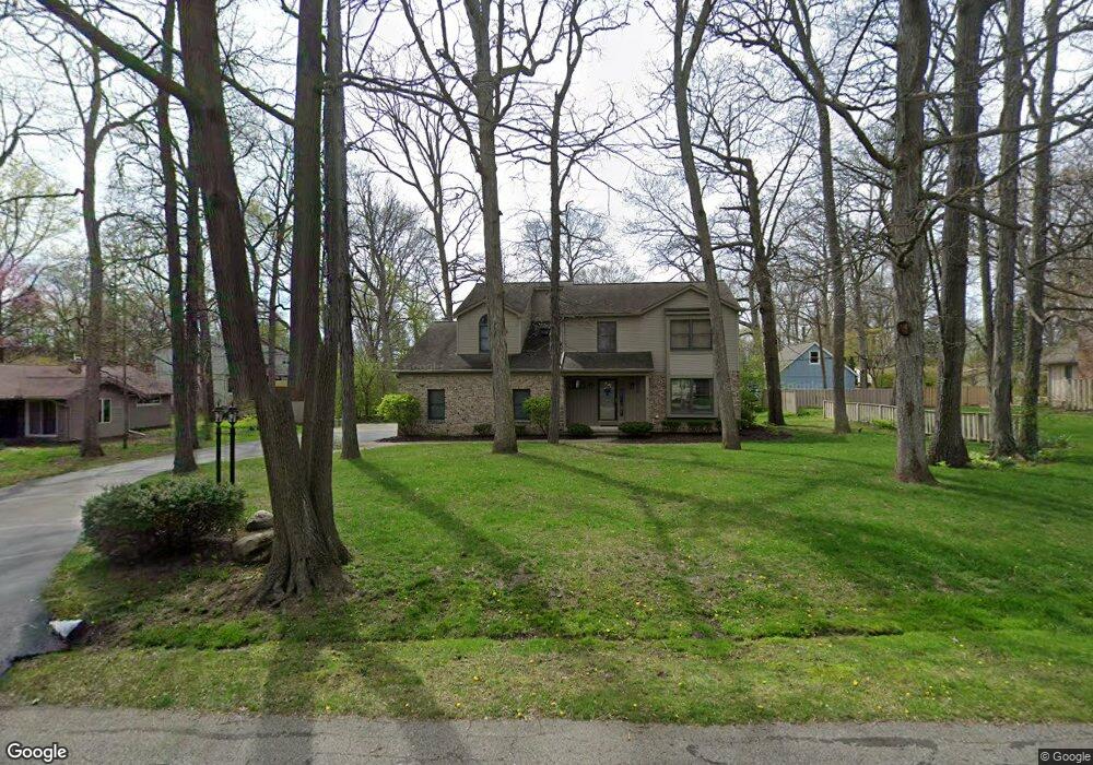
3370 Oak Dr Ypsilanti, MI 48197
Estimated Value: $371,000 - $531,000
Studio
1
Bath
2,462
Sq Ft
$180/Sq Ft
Est. Value
About This Home
This home is located at 3370 Oak Dr, Ypsilanti, MI 48197 and is currently estimated at $443,684, approximately $180 per square foot. 3370 Oak Dr is a home located in Washtenaw County with nearby schools including Carpenter Elementary School, Scarlett Middle School, and Huron High School.
Ownership History
Date
Name
Owned For
Owner Type
Purchase Details
Closed on
Apr 13, 2015
Sold by
Musch David C and Musch Janice E
Bought by
Musch David Charles and Musc Janice Elaine
Current Estimated Value
Purchase Details
Closed on
Aug 28, 1996
Sold by
Cooper David N
Bought by
Musch David C and Musch Janice E
Home Financials for this Owner
Home Financials are based on the most recent Mortgage that was taken out on this home.
Original Mortgage
$125,000
Interest Rate
8.5%
Purchase Details
Closed on
Nov 11, 1994
Sold by
Gregory David D
Bought by
Crest Dev
Home Financials for this Owner
Home Financials are based on the most recent Mortgage that was taken out on this home.
Original Mortgage
$112,000
Interest Rate
8.91%
Create a Home Valuation Report for This Property
The Home Valuation Report is an in-depth analysis detailing your home's value as well as a comparison with similar homes in the area
Home Values in the Area
Average Home Value in this Area
Purchase History
| Date | Buyer | Sale Price | Title Company |
|---|---|---|---|
| Musch David Charles | -- | None Available | |
| Musch David C | $215,000 | -- | |
| Crest Dev | -- | -- |
Source: Public Records
Mortgage History
| Date | Status | Borrower | Loan Amount |
|---|---|---|---|
| Previous Owner | Musch David C | $125,000 | |
| Previous Owner | Crest Dev | $112,000 |
Source: Public Records
Tax History
| Year | Tax Paid | Tax Assessment Tax Assessment Total Assessment is a certain percentage of the fair market value that is determined by local assessors to be the total taxable value of land and additions on the property. | Land | Improvement |
|---|---|---|---|---|
| 2025 | $3,427 | $251,629 | $0 | $0 |
| 2024 | $3,345 | $238,376 | $0 | $0 |
| 2023 | $3,215 | $202,200 | $0 | $0 |
| 2022 | $4,838 | $201,400 | $0 | $0 |
| 2021 | $4,707 | $198,100 | $0 | $0 |
| 2020 | $4,618 | $180,100 | $0 | $0 |
| 2019 | $4,364 | $164,000 | $164,000 | $0 |
| 2018 | $4,284 | $150,700 | $0 | $0 |
| 2017 | $4,147 | $150,700 | $0 | $0 |
| 2016 | $2,672 | $105,064 | $0 | $0 |
| 2015 | -- | $104,750 | $0 | $0 |
| 2014 | -- | $101,478 | $0 | $0 |
| 2013 | -- | $101,478 | $0 | $0 |
Source: Public Records
Map
Nearby Homes
- 240 N Clubview Dr
- 21 Edison Ave
- 3859 Century Ct
- 3867 Palisades Blvd
- 520 Rice Ave
- 479 Eastman St
- 3888 Palisades Blvd
- 2281 Valley Dr
- 472 Westlawn St
- 3164 Promenade Cir Unit 59
- 2474 Carriage Ct
- 2551 Foster Ave
- 753 Clubhouse Dr
- 2884 Roundtree Blvd Unit Bldg 16, Unit 105
- 2418 Draper Ave
- 2180 Ellsworth Rd
- 2938 Roundtree Blvd
- 4267 Chandi Ct
- 2600 Collegewood St
- 2564 Collegewood St
Your Personal Tour Guide
Ask me questions while you tour the home.