Estimated Value: $75,000 - $115,000
3
Beds
1
Bath
1,204
Sq Ft
$85/Sq Ft
Est. Value
About This Home
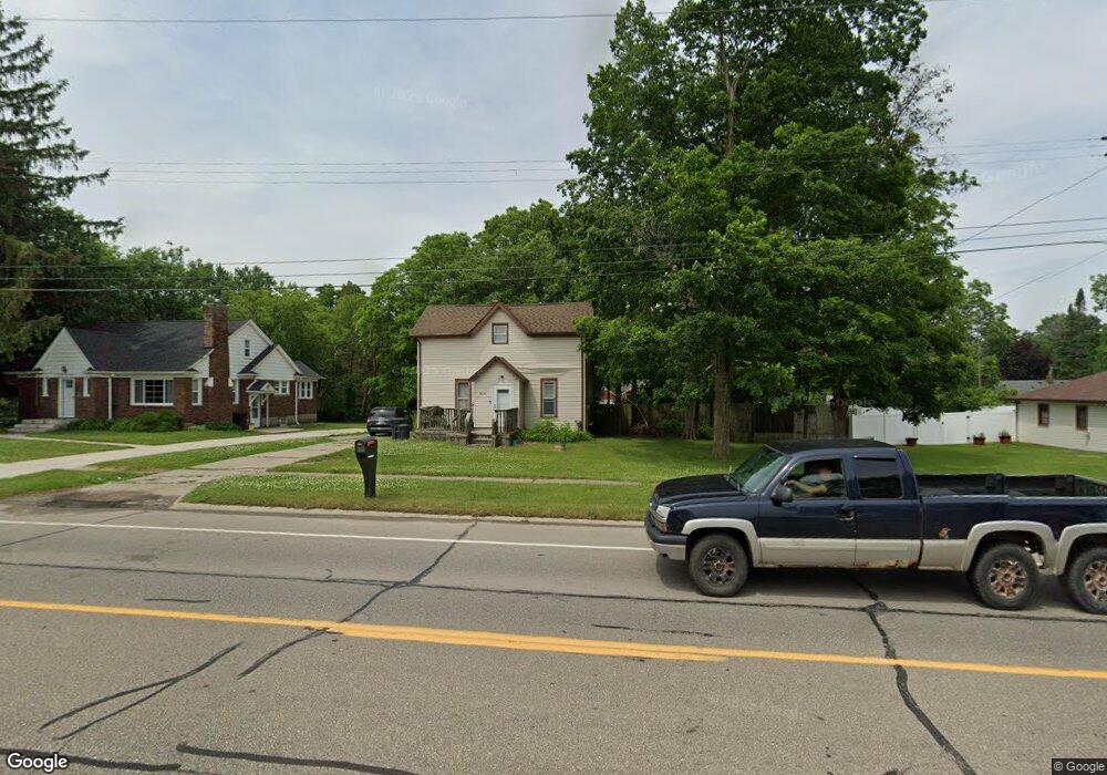
This home is located at 3372 Fenton Rd, Flint, MI 48507 and is currently estimated at $102,838, approximately $85 per square foot. 3372 Fenton Rd is a home located in Genesee County with nearby schools including Carman-Ainsworth High School and International Academy of Flint (K-12).
Ownership History
Date
Name
Owned For
Owner Type
Purchase Details
Closed on
Oct 3, 2006
Sold by
Kak Associates Llc
Bought by
Emerick Katrina Ann and Emerick Jeremiah
Current Estimated Value
Purchase Details
Closed on
Jan 10, 2003
Sold by
Khouri Edward J and Khouri Salwa
Bought by
Kak Associates Llc
Create a Home Valuation Report for This Property
The Home Valuation Report is an in-depth analysis detailing your home's value as well as a comparison with similar homes in the area
Home Values in the Area
Average Home Value in this Area
Purchase History
| Date | Buyer | Sale Price | Title Company |
|---|---|---|---|
| Emerick Katrina Ann | $70,000 | Metropolitan Title Company | |
| Kak Associates Llc | -- | -- |
Source: Public Records
Tax History
| Year | Tax Paid | Tax Assessment Tax Assessment Total Assessment is a certain percentage of the fair market value that is determined by local assessors to be the total taxable value of land and additions on the property. | Land | Improvement |
|---|---|---|---|---|
| 2025 | $1,147 | $47,700 | $0 | $0 |
| 2024 | $561 | $46,600 | $0 | $0 |
| 2023 | $793 | $43,500 | $0 | $0 |
| 2022 | $770 | $36,300 | $0 | $0 |
| 2021 | $1,418 | $31,400 | $0 | $0 |
| 2020 | $700 | $27,800 | $0 | $0 |
| 2019 | $593 | $24,700 | $0 | $0 |
| 2018 | $1,378 | $23,800 | $0 | $0 |
| 2017 | $1,899 | $23,800 | $0 | $0 |
| 2016 | $928 | $21,400 | $0 | $0 |
| 2015 | $796 | $21,500 | $0 | $0 |
| 2014 | $472 | $20,700 | $0 | $0 |
| 2012 | -- | $19,600 | $19,600 | $0 |
Source: Public Records
Map
Nearby Homes
- 1019 E Bristol Rd
- 846 W Hemphill Rd
- 1122 Markham St
- 912 Markham St
- 3433 Camden Ave
- 1210 Pinehurst Ave
- 4418 Brunswick Ave
- 1034 W Bergin Ave
- 1219 Norton St
- 1247 Catalina Dr
- 1318 Ingleside Ave
- 1015 Alvord Ave
- 1216 E Hemphill Rd
- 1234 Huron St
- 1627 Blackberry Ln
- 1310 Huron St
- 829 Clinton St
- 1085 W Parkwood Ave
- 845 Alvord Ave
- 4502 Huckleberry Ln
Your Personal Tour Guide
Ask me questions while you tour the home.