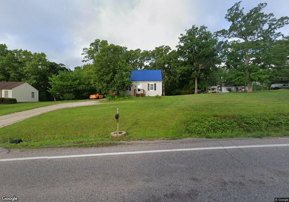
3373 Highway A Washington, MO 63090
Estimated Value: $163,000 - $226,000
3
Beds
1
Bath
1,037
Sq Ft
$187/Sq Ft
Est. Value
About This Home
This home is located at 3373 Highway A, Washington, MO 63090 and is currently estimated at $193,450, approximately $186 per square foot. 3373 Highway A is a home located in Franklin County with nearby schools including Washington High School, St. Gertrude Catholic School, and Immaculate Conception School.
Ownership History
Date
Name
Owned For
Owner Type
Purchase Details
Closed on
May 23, 2016
Sold by
Bishop Todd and Bishop Evon E
Bought by
Reynolds Tonya N
Current Estimated Value
Home Financials for this Owner
Home Financials are based on the most recent Mortgage that was taken out on this home.
Original Mortgage
$92,150
Outstanding Balance
$73,358
Interest Rate
3.66%
Mortgage Type
New Conventional
Estimated Equity
$120,092
Purchase Details
Closed on
Mar 18, 2013
Sold by
Bishop Todd and Bishop Evon E
Bought by
Bishop Todd and Bishop Evon E
Create a Home Valuation Report for This Property
The Home Valuation Report is an in-depth analysis detailing your home's value as well as a comparison with similar homes in the area
Home Values in the Area
Average Home Value in this Area
Purchase History
| Date | Buyer | Sale Price | Title Company |
|---|---|---|---|
| Reynolds Tonya N | $97,000 | -- | |
| Bishop Todd | -- | -- |
Source: Public Records
Mortgage History
| Date | Status | Borrower | Loan Amount |
|---|---|---|---|
| Open | Reynolds Tonya N | $92,150 |
Source: Public Records
Tax History Compared to Growth
Tax History
| Year | Tax Paid | Tax Assessment Tax Assessment Total Assessment is a certain percentage of the fair market value that is determined by local assessors to be the total taxable value of land and additions on the property. | Land | Improvement |
|---|---|---|---|---|
| 2024 | $871 | $15,728 | $0 | $0 |
| 2023 | $871 | $15,728 | $0 | $0 |
| 2022 | $766 | $13,796 | $0 | $0 |
| 2021 | $766 | $13,796 | $0 | $0 |
| 2020 | $735 | $12,740 | $0 | $0 |
| 2019 | $733 | $12,740 | $0 | $0 |
| 2018 | $678 | $12,415 | $0 | $0 |
| 2017 | $680 | $12,415 | $0 | $0 |
| 2016 | $682 | $12,398 | $0 | $0 |
| 2015 | $682 | $12,398 | $0 | $0 |
| 2014 | $699 | $12,702 | $0 | $0 |
Source: Public Records
Map
Nearby Homes
- 541 Rock Creek Dr
- 186 Little Rock Creek Ct
- 613 Rock Creek Dr
- 406 Mark Twain Loop
- 405 Mark Twain Loop
- 873 W Park Rd
- 443 Mark Twain Loop
- 513 Sawgrass Ct
- 21 Forest Ln
- 430 Mark Twain Loop
- 2872 Highway A
- 7040 Highway Yy
- 33 Hickory Cir
- 952 Brookline Dr
- 2 Tanya Ln
- 54 Hickory Cir
- 89 Hickory Cir
- 101 Hickory Cir
- 2073 Hickory Ridge Rd
- 7290 Highway Bb
- 3373 Highway A
- 3379 Highway A
- 6510 Highway Bb
- 6514 Highway Bb
- 3381 Highway A
- 6511 Highway Bb
- 519 Rock Creek Dr
- 535 Rock Creek Dr
- 505 Rock Creek Dr
- 222 Rock Creek Dr
- 6527 Highway Bb
- 504 Rock Creek Dr
- 3346 Highway A
- 534 Rock Creek Dr
- 384 Borgmann Rd
- 512 Rock Creek Dr
- 547 Rock Creek Dr
- 512 Rock Creek Dr
- 53LOT Ridge Run Dr
- 3338 Highway A