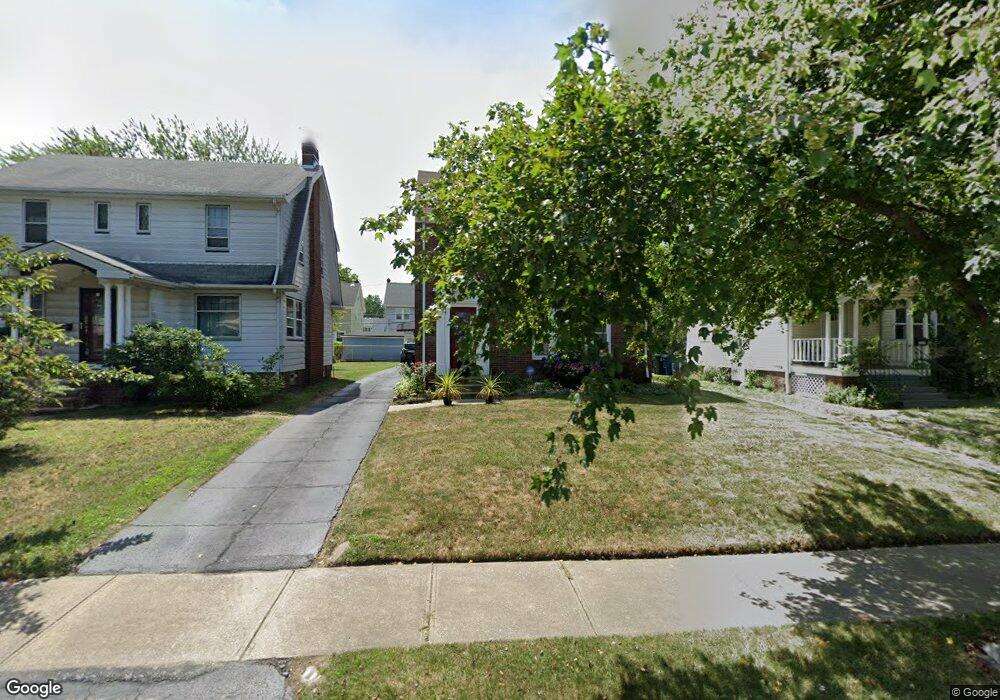
3374 Lownesdale Rd Cleveland, OH 44112
Monticello-Noble NeighborhoodEstimated Value: $136,969 - $161,000
3
Beds
2
Baths
1,434
Sq Ft
$103/Sq Ft
Est. Value
About This Home
This home is located at 3374 Lownesdale Rd, Cleveland, OH 44112 and is currently estimated at $147,492, approximately $102 per square foot. 3374 Lownesdale Rd is a home located in Cuyahoga County with nearby schools including Shaw High School, Apex Academy, and Yeshiva Derech Hatorah.
Ownership History
Date
Name
Owned For
Owner Type
Purchase Details
Closed on
Jul 22, 2020
Sold by
Davis Emma Vean
Bought by
Davis Jeanna Michelle
Current Estimated Value
Purchase Details
Closed on
Jul 26, 2007
Sold by
Davis Madis L
Bought by
Davis Emma J
Purchase Details
Closed on
Dec 30, 1976
Bought by
Davis Madis L
Purchase Details
Closed on
Jan 1, 1975
Bought by
Houston Edward D & C
Create a Home Valuation Report for This Property
The Home Valuation Report is an in-depth analysis detailing your home's value as well as a comparison with similar homes in the area
Home Values in the Area
Average Home Value in this Area
Purchase History
| Date | Buyer | Sale Price | Title Company |
|---|---|---|---|
| Davis Jeanna Michelle | -- | None Available | |
| Davis Emma J | -- | None Available | |
| Davis Madis L | $33,000 | -- | |
| Houston Edward D & C | -- | -- |
Source: Public Records
Tax History Compared to Growth
Tax History
| Year | Tax Paid | Tax Assessment Tax Assessment Total Assessment is a certain percentage of the fair market value that is determined by local assessors to be the total taxable value of land and additions on the property. | Land | Improvement |
|---|---|---|---|---|
| 2024 | $2,796 | $44,485 | $8,085 | $36,400 |
| 2023 | $2,176 | $24,790 | $3,750 | $21,040 |
| 2022 | $2,169 | $24,780 | $3,745 | $21,035 |
| 2021 | $2,151 | $24,780 | $3,750 | $21,040 |
| 2020 | $1,278 | $22,300 | $3,360 | $18,940 |
| 2019 | $1,339 | $63,700 | $9,600 | $54,100 |
| 2018 | $1,401 | $22,300 | $3,360 | $18,940 |
| 2017 | $1,462 | $24,610 | $4,520 | $20,090 |
| 2016 | $1,472 | $24,610 | $4,520 | $20,090 |
| 2015 | $1,767 | $24,610 | $4,520 | $20,090 |
| 2014 | $1,767 | $29,650 | $5,430 | $24,220 |
Source: Public Records
Map
Nearby Homes
- 1061 Greyton Rd
- 2257 N Taylor Rd
- 3411 Hartwood Rd
- 2195 N Taylor Rd
- 991 Helmsdale Rd
- 3451 Hartwood Rd
- 1073 Hereford Rd
- 986 Woodview Rd
- 2188 N Taylor Rd
- 1111 Hereford Rd
- 1068 Elbon Rd
- 1064 Elbon Rd
- 1005 Woodview Rd
- 939 Helmsdale Rd
- 916 Whitby Rd
- 2145 N Taylor Rd
- 16263 Oakhill Rd
- 1058 Pembrook Rd
- 2137 N Taylor Rd
- 955 Dresden Rd
- 3378 Lownesdale Rd
- 3370 Lownesdale Rd
- 3382 Lownesdale Rd
- 3366 Lownesdale Rd
- 3386 Lownesdale Rd
- 3362 Lownesdale Rd
- 3386 Lowensdale Ave
- 3379 Sylvanhurst Rd
- 3375 Sylvanhurst Rd
- 3383 Sylvanhurst Rd
- 3371 Sylvanhurst Rd
- 3390 Lownesdale Rd
- 3358 Lownesdale Rd
- 3387 Sylvanhurst Rd
- 3369 Sylvanhurst Rd
- 3373 Lownesdale Rd
- 3377 Lownesdale Rd
- 3369 Lownesdale Rd
- 3391 Sylvanhurst Rd
- 3365 Lownesdale Rd