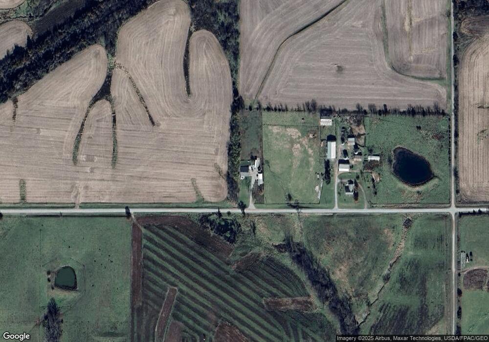
33766 497th St Moulton, IA 52572
Estimated Value: $201,313 - $314,000
3
Beds
1
Bath
2,016
Sq Ft
$124/Sq Ft
Est. Value
About This Home
This home is located at 33766 497th St, Moulton, IA 52572 and is currently estimated at $249,578, approximately $123 per square foot. 33766 497th St is a home located in Appanoose County with nearby schools including Moulton Elementary School and Moulton-Udell High School.
Ownership History
Date
Name
Owned For
Owner Type
Purchase Details
Closed on
Dec 2, 2019
Sold by
Diane E Mason Ret
Bought by
Winters Timothy J and Winters Christine
Current Estimated Value
Home Financials for this Owner
Home Financials are based on the most recent Mortgage that was taken out on this home.
Original Mortgage
$170,000
Interest Rate
3.7%
Mortgage Type
New Conventional
Create a Home Valuation Report for This Property
The Home Valuation Report is an in-depth analysis detailing your home's value as well as a comparison with similar homes in the area
Home Values in the Area
Average Home Value in this Area
Purchase History
| Date | Buyer | Sale Price | Title Company |
|---|---|---|---|
| Winters Timothy J | -- | None Available | |
| Winters Timothy J | $170,000 | None Available |
Source: Public Records
Mortgage History
| Date | Status | Borrower | Loan Amount |
|---|---|---|---|
| Closed | Winters Timothy J | $170,000 |
Source: Public Records
Tax History Compared to Growth
Tax History
| Year | Tax Paid | Tax Assessment Tax Assessment Total Assessment is a certain percentage of the fair market value that is determined by local assessors to be the total taxable value of land and additions on the property. | Land | Improvement |
|---|---|---|---|---|
| 2025 | $2,142 | $206,560 | $37,300 | $169,260 |
| 2024 | $2,142 | $162,120 | $32,000 | $130,120 |
| 2023 | $2,120 | $162,120 | $32,000 | $130,120 |
| 2022 | $1,802 | $138,260 | $26,000 | $112,260 |
| 2021 | $1,802 | $134,110 | $26,000 | $108,110 |
| 2020 | $1,180 | $109,420 | $21,000 | $88,420 |
| 2019 | $1,256 | $88,510 | $0 | $0 |
| 2018 | $1,244 | $88,510 | $0 | $0 |
| 2017 | $114,000 | $82,340 | $0 | $0 |
| 2016 | $1,080 | $82,340 | $0 | $0 |
| 2015 | $1,080 | $86,390 | $0 | $0 |
| 2014 | $1,328 | $86,390 | $0 | $0 |
Source: Public Records
Map
Nearby Homes
- Tbd Driftwood Blvd
- 12392 Iowa 2
- TBD Driftwood Blvd
- 22726 Iowa 202
- 13137 Iowa 2
- UKA Blackberry Ridge Rd
- Blackberry Ridge Rd
- 0 Highway J3t
- 14926 Hwy T61
- 14926 Hwy Hwy
- 307 E 5th St
- 14611 Arbor Blvd
- 301 E 1st St
- 516th St
- 0 Hwy J3t Unit 21850668
- 15818 Walnut Grove Dr
- 29888 Highway J3t
- 14736 Big Buck Run
- 15300 Big Buck Run
- 0 516th St Unit NOC6330251
