33795 170th St Burtrum, MN 56318
Estimated Value: $354,187 - $494,000
6
Beds
2
Baths
3,096
Sq Ft
$144/Sq Ft
Est. Value
About This Home
This home is located at 33795 170th St, Burtrum, MN 56318 and is currently estimated at $444,396, approximately $143 per square foot. 33795 170th St is a home located in Todd County with nearby schools including Long Prairie-Grey Eagle Elementary and Long Prairie-Grey Secondary School.
Ownership History
Date
Name
Owned For
Owner Type
Purchase Details
Closed on
Jun 29, 2007
Sold by
Bense Christopher R and Bense Teri Beth
Bought by
Bense Christopher R and Bense Teri Beeth
Current Estimated Value
Home Financials for this Owner
Home Financials are based on the most recent Mortgage that was taken out on this home.
Original Mortgage
$27,500
Outstanding Balance
$17,071
Interest Rate
6.37%
Mortgage Type
Credit Line Revolving
Estimated Equity
$427,325
Create a Home Valuation Report for This Property
The Home Valuation Report is an in-depth analysis detailing your home's value as well as a comparison with similar homes in the area
Home Values in the Area
Average Home Value in this Area
Purchase History
| Date | Buyer | Sale Price | Title Company |
|---|---|---|---|
| Bense Christopher R | -- | Todd County Title & Abstract |
Source: Public Records
Mortgage History
| Date | Status | Borrower | Loan Amount |
|---|---|---|---|
| Open | Bense Christopher R | $27,500 |
Source: Public Records
Tax History Compared to Growth
Tax History
| Year | Tax Paid | Tax Assessment Tax Assessment Total Assessment is a certain percentage of the fair market value that is determined by local assessors to be the total taxable value of land and additions on the property. | Land | Improvement |
|---|---|---|---|---|
| 2025 | $1,412 | $312,200 | $143,000 | $169,200 |
| 2024 | $1,362 | $315,100 | $143,000 | $172,100 |
| 2023 | $1,810 | $308,300 | $143,000 | $165,300 |
| 2022 | $1,674 | $308,800 | $119,200 | $189,600 |
| 2021 | $1,604 | $251,600 | $98,600 | $153,000 |
| 2020 | $1,508 | $246,300 | $100,500 | $145,800 |
| 2019 | $1,508 | $215,400 | $84,000 | $131,400 |
| 2018 | $1,422 | $207,100 | $84,000 | $123,100 |
| 2017 | $1,338 | $197,100 | $82,200 | $114,900 |
| 2016 | $1,434 | $193,000 | $82,500 | $110,500 |
| 2015 | $1,310 | $0 | $0 | $0 |
| 2014 | -- | $0 | $0 | $0 |
Source: Public Records
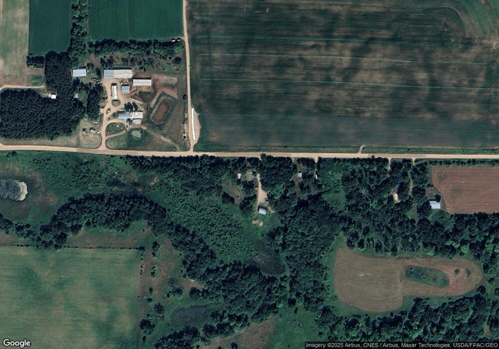
Map
Nearby Homes
- TBD Dunlin Rd
- XXX Acorn Rd
- XXXX Acorn Rd
- 501 Degraff St
- 305 Berkey Ave
- 33666 Breezy Dr
- 108 3rd St E
- 7056 25th Ave
- 19264 Ermine Dr
- 30213 Duckweed Dr
- 5261 Apollo Rd
- 6 Forest Hill Ln
- 17706 Dogwood Loop
- 19555 Erie Dr
- 1734 40th St
- 21317 Morrison Line Rd
- 29358 Era Cir
- 423 State St E
- 208 Cedar St N
- 104 Minnesota St E
- 33853 170th St
- 33935 170th St
- 33470 170th St
- 16988 341st Ave
- L2 B2 Flicker Rd
- 33190 170th St
- 33153 State 28
- 33153 State 28
- 16435 341st Ave
- 425 Wilson Ave N
- 318 Lincoln St E
- 16282 341st Ave
- XXXX County 13
- 16282 16282 341st Ave
- 124 Wilson Ave N
- XXXX Abaca Rd
- 33523 State 28
- 110 Wilson Ave N
- 321 Lincoln St E
- 224 Lincoln St E