338 James McIver Truckee, CA 96161
South Truckee NeighborhoodEstimated Value: $6,651,000 - $8,999,176
5
Beds
6
Baths
6,302
Sq Ft
$1,183/Sq Ft
Est. Value
About This Home
This home is located at 338 James McIver, Truckee, CA 96161 and is currently estimated at $7,453,725, approximately $1,182 per square foot. 338 James McIver is a home located in Placer County with nearby schools including Truckee Elementary School, Alder Creek Middle School, and Tahoe Truckee High School.
Ownership History
Date
Name
Owned For
Owner Type
Purchase Details
Closed on
Dec 16, 2008
Sold by
Peterson Stuart L and Peterson Gina R
Bought by
Peterson Stuart L and Peterson Gina R
Current Estimated Value
Purchase Details
Closed on
Apr 18, 2006
Sold by
Gifford Investment Ltd
Bought by
Peterson Stuart and Peterson Gina
Purchase Details
Closed on
Aug 3, 2000
Sold by
Thom Bryan and Thom Becky
Bought by
Gifford Investment Ltd
Purchase Details
Closed on
Aug 2, 2000
Sold by
Lahontan Llc
Bought by
Thom Bryan and Thom Becky
Create a Home Valuation Report for This Property
The Home Valuation Report is an in-depth analysis detailing your home's value as well as a comparison with similar homes in the area
Home Values in the Area
Average Home Value in this Area
Purchase History
| Date | Buyer | Sale Price | Title Company |
|---|---|---|---|
| Peterson Stuart L | -- | None Available | |
| Peterson Stuart L | -- | None Available | |
| Peterson Stuart | $2,000,000 | First American Title Company | |
| Gifford Investment Ltd | $1,581,000 | First American Title Ins Co | |
| Thom Bryan | $1,575,000 | First American Title Ins Co |
Source: Public Records
Tax History Compared to Growth
Tax History
| Year | Tax Paid | Tax Assessment Tax Assessment Total Assessment is a certain percentage of the fair market value that is determined by local assessors to be the total taxable value of land and additions on the property. | Land | Improvement |
|---|---|---|---|---|
| 2025 | $61,792 | $5,763,003 | $2,733,166 | $3,029,837 |
| 2023 | $61,792 | $5,539,221 | $2,627,035 | $2,912,186 |
| 2022 | $60,576 | $5,430,610 | $2,575,525 | $2,855,085 |
| 2021 | $54,836 | $5,041,600 | $2,391,000 | $2,650,600 |
| 2020 | $43,140 | $3,844,220 | $1,823,000 | $2,021,220 |
| 2019 | $44,168 | $3,844,220 | $1,823,000 | $2,021,220 |
| 2018 | $40,085 | $3,592,140 | $1,703,000 | $1,889,140 |
| 2017 | $36,763 | $3,277,040 | $1,554,000 | $1,723,040 |
| 2016 | $36,217 | $3,182,510 | $1,509,000 | $1,673,510 |
| 2015 | $35,550 | $3,151,000 | $1,494,400 | $1,656,600 |
| 2014 | $33,979 | $3,081,678 | $1,461,500 | $1,620,178 |
Source: Public Records
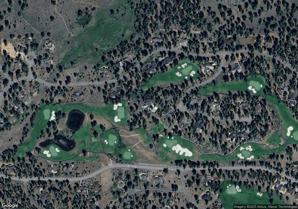
Map
Nearby Homes
- 13204 Snowshoe Thompson Cir
- 13131 Snowshoe Thompson Cir
- 408 James McIver
- 377 James McIver
- 151 Bob Sherman
- 11329 Elle Ellen
- 11317 Elle Ellen
- 12341 Garwood Dean
- 130 James Reed
- 13123 Snowshoe Thompson Cir
- 10212 Dick Barter
- 10246 Dick Barter
- 13321 Snowshoe Thompson Cir
- 7420 Lahontan Dr
- 9536 Parker Ln
- 7445 Lahontan Dr
- 10250 Dick Barter
- 7455 Lahontan Dr
- 340 Elias Baldwin
- 260 Laura Knight
- 348 James McIver
- 13196 Snowshoe Thompson Cir
- 13265 Snowshoe Thompson Cir
- 13201 Snowshoe Thompson Cir
- 13252 Snowshoe Thompson Cir
- 13260 Snowshoe Thompson Cir
- 13313 Snowshoe Thompson Cir
- 13265 Snowshoe Thompson Cir Unit 463
- 13185 Snowshoe Thompson Cir Unit 453
- 13332 Snowshoe Thompson Cir
- 13252 Snowshoe Thompson Cir Unit 480
- 13204 Snowshoe Thompson Cir Unit 498
- 13201 Snowshoe Thompson Cir Unit 455
- 13292 Snowshoe Thompson Cir
- 13281 Snowshoe Thompson Cir
- 13268 Snowshoe Thompson Cir Unit 478
- 13296 Snowshoe Thompson Cir
- 13207 Snowshoe Thompson Cir
- 13244 Snowshoe Thompson Cir
- 13185 Snowshoe Thompson Cir