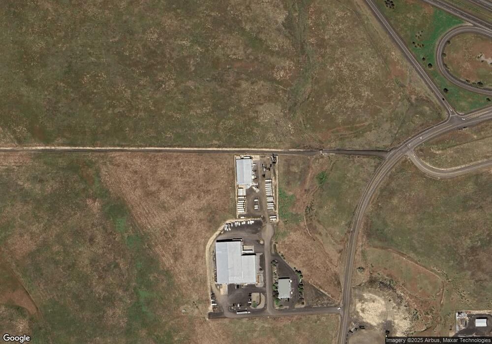
338 NW 57th Dr Pendleton, OR 97801
Estimated Value: $809,227
Studio
--
Bath
10,800
Sq Ft
$75/Sq Ft
Est. Value
About This Home
This home is located at 338 NW 57th Dr, Pendleton, OR 97801 and is currently estimated at $809,227, approximately $74 per square foot. 338 NW 57th Dr is a home located in Umatilla County with nearby schools including McKay Creek Elementary School, Sunridge Middle School, and Pendleton High School.
Ownership History
Date
Name
Owned For
Owner Type
Purchase Details
Closed on
May 30, 2019
Sold by
Hale Kevin and Tullis Kirk
Bought by
Braseth Properties Llc
Current Estimated Value
Home Financials for this Owner
Home Financials are based on the most recent Mortgage that was taken out on this home.
Original Mortgage
$250,000
Interest Rate
4.1%
Mortgage Type
Purchase Money Mortgage
Purchase Details
Closed on
Dec 8, 2014
Sold by
Hale & Tullis Llc
Bought by
Hale Kevin and Tullis Kirk
Create a Home Valuation Report for This Property
The Home Valuation Report is an in-depth analysis detailing your home's value as well as a comparison with similar homes in the area
Home Values in the Area
Average Home Value in this Area
Purchase History
| Date | Buyer | Sale Price | Title Company |
|---|---|---|---|
| Braseth Properties Llc | $475,000 | Pioneer Title Co | |
| Hale Kevin | -- | Pioneer Title Co |
Source: Public Records
Mortgage History
| Date | Status | Borrower | Loan Amount |
|---|---|---|---|
| Closed | Braseth Properties Llc | $250,000 |
Source: Public Records
Tax History Compared to Growth
Tax History
| Year | Tax Paid | Tax Assessment Tax Assessment Total Assessment is a certain percentage of the fair market value that is determined by local assessors to be the total taxable value of land and additions on the property. | Land | Improvement |
|---|---|---|---|---|
| 2024 | $10,477 | $567,140 | $188,360 | $378,780 |
| 2023 | $10,252 | $550,630 | $182,870 | $367,760 |
| 2022 | $9,229 | $534,600 | $0 | $0 |
| 2021 | $9,122 | $509,900 | $179,290 | $330,610 |
| 2020 | $9,285 | $521,870 | $181,040 | $340,830 |
| 2018 | $8,983 | $500,110 | $181,040 | $319,070 |
| 2017 | $7,738 | $428,260 | $115,450 | $312,810 |
| 2016 | $7,992 | $455,360 | $127,250 | $328,110 |
| 2015 | $8,839 | $485,320 | $123,870 | $361,450 |
| 2014 | $8,852 | $485,320 | $123,870 | $361,450 |
Source: Public Records
Map
Nearby Homes
- 2010 Tutuilla Rd
- 3127 SW River View Dr
- 3112 SW River View Dr
- 3108 SW River View Dr
- 2801 SW Houtama Rd
- 2801 SW Houtama Rd Unit 45
- 4226 SW Kirk Ave
- 2262 NW Horn Place
- 3226 SW Isaac Ave
- 3218 SW Isaac Ave
- 0 SW Kirk Ave Unit 200 21392184
- 0 SW Kirk Ave Unit 101 21527345
- 0 SW Kirk Ave Unit 5500 21002117
- 3307 SW Kirk Ave
- 464 NW 22nd St
- 3312 SW Kirk Ave
- 402 NW 21st St
- 0 Mckay Dr
- 1004 SW 33rd St
- 3014 SW Kirk Ave
- 5678 NW Golden Ave
- 42251 Rieth Rd
- 4651 Murietta Rd
- 601 Airport Rd
- 0 Murietta Rd Unit 15427674
- 602 Airport Rd
- 4712 NW J Ave
- 1325 NW 49th Dr
- 818 Airport Rd
- 0 Airport Mini Storage Unit 11443163
- 1329 NW 49th Dr
- 1208 NW 47th St
- 4314 Westgate Place
- 2020 Tutuilla Rd
- 4216 Westgate
- 1200 Airport Rd
- 4208 Westgate
- 1106 Airport Rd
- 1706 NW 52nd St
- 1700 NW 49th St
