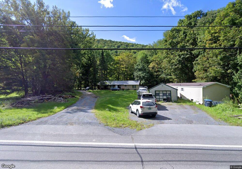
338 Rockydale Rd Bristol, VT 05443
Estimated Value: $142,000 - $363,000
5
Beds
3
Baths
1,700
Sq Ft
$149/Sq Ft
Est. Value
About This Home
This home is located at 338 Rockydale Rd, Bristol, VT 05443 and is currently estimated at $252,500, approximately $148 per square foot. 338 Rockydale Rd is a home located in Addison County with nearby schools including Bristol Elementary School, Mt. Abraham Union Middle/High School, and The Red Cedar School.
Ownership History
Date
Name
Owned For
Owner Type
Purchase Details
Closed on
Sep 2, 2015
Sold by
Strickholm Ttee Phyllis
Bought by
Strickholm Norman
Current Estimated Value
Purchase Details
Closed on
May 7, 2015
Sold by
Ruth G Strickholm Revocable Living Trust
Bought by
Strickholm Norman
Purchase Details
Closed on
Jun 28, 2007
Sold by
Strickholm Ruth G
Bought by
Strickholm Ruth G Revocable Living Trust
Purchase Details
Closed on
Mar 28, 2007
Sold by
Strickholm Ruth G Trustee
Bought by
Strickholm Ruth G
Purchase Details
Closed on
Oct 7, 2004
Sold by
Strickholm Ruth G
Bought by
Olfene Trust
Purchase Details
Closed on
Apr 11, 1990
Sold by
Martin Charles V
Bought by
Wade Charles A and Wade Debi C
Create a Home Valuation Report for This Property
The Home Valuation Report is an in-depth analysis detailing your home's value as well as a comparison with similar homes in the area
Home Values in the Area
Average Home Value in this Area
Purchase History
| Date | Buyer | Sale Price | Title Company |
|---|---|---|---|
| Strickholm Norman | -- | -- | |
| Strickholm Norman | -- | -- | |
| Strickholm Ruth G Revocable Living Trust | -- | -- | |
| Strickholm Ruth G | -- | -- | |
| Olfene Trust | -- | -- | |
| Olfene Trust | -- | -- | |
| Wade Charles A | $18,000 | -- |
Source: Public Records
Tax History Compared to Growth
Tax History
| Year | Tax Paid | Tax Assessment Tax Assessment Total Assessment is a certain percentage of the fair market value that is determined by local assessors to be the total taxable value of land and additions on the property. | Land | Improvement |
|---|---|---|---|---|
| 2021 | $3,641 | $131,300 | $57,000 | $74,300 |
| 2020 | $3,641 | $131,300 | $57,000 | $74,300 |
| 2019 | $0 | $171,800 | $57,000 | $114,800 |
| 2018 | $3,889 | $171,800 | $57,000 | $114,800 |
| 2017 | $4,109 | $169,300 | $61,500 | $107,800 |
| 2016 | $4,109 | $169,300 | $61,500 | $107,800 |
| 2015 | -- | $1,693 | $0 | $0 |
| 2014 | -- | $1,693 | $0 | $0 |
| 2013 | -- | $1,693 | $0 | $0 |
Source: Public Records
Map
Nearby Homes
- 26 Mountain St
- 38 North St
- 64 Taylor Ave
- 382 Hewitt Rd
- 1433 N 116 Rd
- 1433 N 116 Rd Unit B
- 378 S 116 Rd
- 1794 W River Rd
- 438 Monkton Rd
- tbd Monkton Rd
- 3645 S 116 Rd
- 2024 Sycamore Park
- 112 Lower Hardscrabble Rd
- 204 W River Rd
- 0 Upper Meehan Rd
- TBD Blackberry Ln
- 141 Cold Spring Rd
- 1335 Downingsville Rd
- 0 Upper Notch Rd Unit 5067202
- 196 Lafayette Rd
- 312 Rockydale Rd
- 282 Rockydale Rd
- 384 Rockydale Rd
- 394 Rockydale Rd
- 400 Rockydale Rd
- 430 Rockydale Rd
- 450 Rockydale Rd
- 56 Blaises Mobilehome Park
- 56 Blaises Mobilehome Park
- 46-120 Blaise's Mobile Home Park Rd
- 486 Rockydale Rd
- 39 Rockydale Rd
- 533 Rocky Dale Rd
- 533 Rockydale Rd
- 510 Rockydale Rd
- 547 Rockydale Rd
- 567 Rockydale Rd
- 514 Rockydale Rd
- 632 Rockydale Rd
- 641 Rockydale Rd