3381 Rea Rd Bernard, IA 52032
Estimated Value: $279,000 - $602,019
4
Beds
1
Bath
1,608
Sq Ft
$275/Sq Ft
Est. Value
About This Home
This home is located at 3381 Rea Rd, Bernard, IA 52032 and is currently estimated at $442,005, approximately $274 per square foot. 3381 Rea Rd is a home located in Dubuque County with nearby schools including Cascade Elementary School, Bernard Elementary School, and Cascade Junior/Senior High School.
Ownership History
Date
Name
Owned For
Owner Type
Purchase Details
Closed on
Jun 3, 2019
Sold by
Kalb Martin L and Kalb Christa M
Bought by
Schemmel Christopher Joseph and Schemmel Jodi Marie
Current Estimated Value
Home Financials for this Owner
Home Financials are based on the most recent Mortgage that was taken out on this home.
Original Mortgage
$192,500
Outstanding Balance
$168,903
Interest Rate
4.1%
Mortgage Type
New Conventional
Estimated Equity
$273,102
Purchase Details
Closed on
Jan 2, 2007
Sold by
Rea Ruth A and Rea Patrick
Bought by
Kalb Kevin C and Kremer Geri L
Home Financials for this Owner
Home Financials are based on the most recent Mortgage that was taken out on this home.
Original Mortgage
$148,500
Interest Rate
6.21%
Mortgage Type
New Conventional
Create a Home Valuation Report for This Property
The Home Valuation Report is an in-depth analysis detailing your home's value as well as a comparison with similar homes in the area
Home Values in the Area
Average Home Value in this Area
Purchase History
| Date | Buyer | Sale Price | Title Company |
|---|---|---|---|
| Schemmel Christopher Joseph | $385,000 | None Available | |
| Kalb Martin L | $185,000 | None Available | |
| Kalb Kevin C | $165,000 | None Available |
Source: Public Records
Mortgage History
| Date | Status | Borrower | Loan Amount |
|---|---|---|---|
| Open | Kalb Martin L | $192,500 | |
| Closed | Schemmel Christopher Joseph | $192,500 | |
| Previous Owner | Kalb Kevin C | $148,500 |
Source: Public Records
Tax History Compared to Growth
Tax History
| Year | Tax Paid | Tax Assessment Tax Assessment Total Assessment is a certain percentage of the fair market value that is determined by local assessors to be the total taxable value of land and additions on the property. | Land | Improvement |
|---|---|---|---|---|
| 2025 | $1,694 | $172,333 | $7,333 | $165,000 |
| 2024 | $1,694 | $151,038 | $5,538 | $145,500 |
| 2023 | $1,620 | $151,038 | $5,538 | $145,500 |
| 2022 | $1,406 | $110,900 | $4,410 | $106,490 |
| 2021 | $1,406 | $111,248 | $4,758 | $106,490 |
| 2020 | $1,300 | $101,137 | $4,617 | $96,520 |
| 2019 | $1,326 | $101,137 | $4,617 | $96,520 |
| 2017 | $1,276 | $108,322 | $6,542 | $101,780 |
| 2016 | $1,276 | $108,163 | $6,923 | $101,240 |
| 2015 | $1,752 | $130,020 | $43,900 | $86,120 |
| 2014 | $1,718 | $122,580 | $40,100 | $82,480 |
Source: Public Records
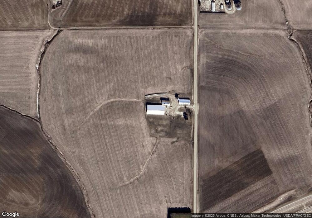
Map
Nearby Homes
- 903 Rylee Ct
- Lot 68 Hugo Dr
- Lot 18 Ione Dr
- 136 Jack Oak Dr
- 175 Bryn Dr
- lot 23 Thunder Valley Dr
- Lot 2 Thunder Valley Dr
- Lot 22 Thunder Valley Dr
- Lot 93 Tagan Dr
- 19318 Kapp Dr
- 277 Wyatt Dr
- Lot 146 Gavin Cir
- Lot 145 Gavin Cir
- 348 Solomia Ct
- 310 Solomia Ct
- 326 Solomia Ct
- Lot 60 Hugo Dr
- Lot 64 Hugo Dr
- 419 Angela Jean Cir
- 629 Lilac Ln