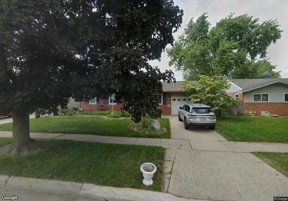
33812 Pawnee St Westland, MI 48185
Estimated Value: $208,536 - $251,000
--
Bed
1
Bath
1,073
Sq Ft
$224/Sq Ft
Est. Value
About This Home
This home is located at 33812 Pawnee St, Westland, MI 48185 and is currently estimated at $239,884, approximately $223 per square foot. 33812 Pawnee St is a home located in Wayne County with nearby schools including Thomas A. Edison Elementary School, Marshall Upper Elementary School, and Adlai Stevenson Middle School.
Ownership History
Date
Name
Owned For
Owner Type
Purchase Details
Closed on
Oct 25, 2002
Sold by
Gozowsky Martha R
Bought by
Fabrey Larry
Current Estimated Value
Home Financials for this Owner
Home Financials are based on the most recent Mortgage that was taken out on this home.
Original Mortgage
$113,200
Outstanding Balance
$48,112
Interest Rate
6.22%
Estimated Equity
$191,772
Purchase Details
Closed on
Oct 25, 2000
Sold by
Gozowsky Martha R
Bought by
Gozowsky Martha R
Create a Home Valuation Report for This Property
The Home Valuation Report is an in-depth analysis detailing your home's value as well as a comparison with similar homes in the area
Home Values in the Area
Average Home Value in this Area
Purchase History
| Date | Buyer | Sale Price | Title Company |
|---|---|---|---|
| Fabrey Larry | -- | -- | |
| Gozowsky Martha R | -- | -- |
Source: Public Records
Mortgage History
| Date | Status | Borrower | Loan Amount |
|---|---|---|---|
| Open | Fabrey Larry | $113,200 |
Source: Public Records
Tax History Compared to Growth
Tax History
| Year | Tax Paid | Tax Assessment Tax Assessment Total Assessment is a certain percentage of the fair market value that is determined by local assessors to be the total taxable value of land and additions on the property. | Land | Improvement |
|---|---|---|---|---|
| 2025 | $1,809 | $103,000 | $0 | $0 |
| 2024 | $1,809 | $92,500 | $0 | $0 |
| 2023 | $1,728 | $82,100 | $0 | $0 |
| 2022 | $2,051 | $75,900 | $0 | $0 |
| 2021 | $1,999 | $72,400 | $0 | $0 |
| 2020 | $1,977 | $64,700 | $0 | $0 |
| 2019 | $2,199 | $60,600 | $0 | $0 |
| 2018 | $1,206 | $53,000 | $0 | $0 |
| 2017 | $741 | $48,600 | $0 | $0 |
| 2016 | $1,849 | $47,800 | $0 | $0 |
| 2015 | $3,519 | $42,090 | $0 | $0 |
| 2013 | $3,409 | $34,790 | $0 | $0 |
| 2012 | $1,714 | $35,410 | $0 | $0 |
Source: Public Records
Map
Nearby Homes
- 6815 Apache Trail
- 34036 Pawnee St
- 6963 Bison St
- 34217 Aztec Dr
- 34153 Warren Rd
- 34203 Tomahawk Dr
- 37175 Russell Dr
- 32238 Meridian Dr
- 1812/ 1824 Imperial Hwy
- 7436 Cochise St
- 33652 Cowan Rd
- 8433 Berwick Dr
- 33030 Cowan Rd
- 33312 Lynx St
- 33640 Birchlawn
- 0 N Wayne Rd
- 7051 Wayne Rd
- 33540 Birchlawn
- 32588 James St
- 33435 Krauter St
- 33800 Pawnee St
- 33836 Pawnee St
- 33827 Blackfoot St
- 33815 Blackfoot St
- 33839 Blackfoot St
- 33748 Pawnee St
- 33848 Pawnee St
- 6965 Apache Trail
- 33803 Blackfoot St
- 33853 Blackfoot St
- 6938 Mohawk St
- 33736 Pawnee St
- 6964 Apache Trail
- 6951 Apache Trail
- 33743 Blackfoot St
- 6924 Mohawk St
- 33724 Pawnee St
- 6952 Apache Trail
- 33826 Blackfoot St
- 33910 Pawnee St