33853 161st Ave Chatfield, MN 55923
Estimated Value: $503,000 - $1,634,459
4
Beds
2
Baths
1,690
Sq Ft
$626/Sq Ft
Est. Value
About This Home
This home is located at 33853 161st Ave, Chatfield, MN 55923 and is currently estimated at $1,057,153, approximately $625 per square foot. 33853 161st Ave is a home located in Fillmore County with nearby schools including Chatfield Elementary School and Chatfield Secondary School.
Ownership History
Date
Name
Owned For
Owner Type
Purchase Details
Closed on
Apr 9, 2025
Sold by
Klomps Brent A and Klomps Sylvia J
Bought by
Klomps Brent A and Klomps Sylvia J
Current Estimated Value
Purchase Details
Closed on
Apr 20, 2012
Sold by
Yates Robert and Bushlack Nancy
Bought by
Klomps Brent and Klomps Sylvia
Home Financials for this Owner
Home Financials are based on the most recent Mortgage that was taken out on this home.
Original Mortgage
$560,000
Interest Rate
3.99%
Mortgage Type
Purchase Money Mortgage
Purchase Details
Closed on
Aug 27, 2008
Sold by
Klomps Ernest
Bought by
Klomps Brent A and Klomps Sylvia J
Create a Home Valuation Report for This Property
The Home Valuation Report is an in-depth analysis detailing your home's value as well as a comparison with similar homes in the area
Purchase History
| Date | Buyer | Sale Price | Title Company |
|---|---|---|---|
| Klomps Brent A | $500 | None Listed On Document | |
| Klomps Brent A | $500 | None Listed On Document | |
| Klomps Brent | $450,000 | None Available | |
| Klomps Brent A | -- | None Available |
Source: Public Records
Mortgage History
| Date | Status | Borrower | Loan Amount |
|---|---|---|---|
| Previous Owner | Klomps Brent | $560,000 |
Source: Public Records
Tax History
| Year | Tax Paid | Tax Assessment Tax Assessment Total Assessment is a certain percentage of the fair market value that is determined by local assessors to be the total taxable value of land and additions on the property. | Land | Improvement |
|---|---|---|---|---|
| 2025 | $7,344 | $1,575,100 | $1,575,100 | $0 |
| 2024 | $7,344 | $1,944,200 | $1,533,700 | $410,500 |
| 2023 | $6,552 | $1,944,200 | $1,533,700 | $410,500 |
| 2022 | $6,552 | $1,503,200 | $1,208,300 | $294,900 |
| 2021 | $6,236 | $1,411,900 | $1,148,300 | $263,600 |
| 2020 | $6,236 | $1,411,900 | $1,148,300 | $263,600 |
| 2019 | $6,606 | $1,436,400 | $1,161,600 | $274,800 |
| 2018 | $6,432 | $1,436,400 | $1,161,600 | $274,800 |
| 2017 | -- | $1,400,200 | $1,142,600 | $257,600 |
| 2016 | $6,248 | $1,382,700 | $1,125,100 | $257,600 |
| 2015 | $6,220 | $1,435,300 | $1,194,251 | $241,049 |
| 2014 | $6,220 | $1,437,600 | $1,196,551 | $241,049 |
| 2013 | $6,220 | $1,101,300 | $857,173 | $244,127 |
Source: Public Records
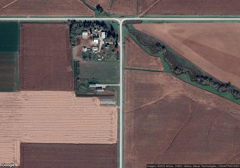
Map
Nearby Homes
- 9498-9001 80th Ave SE
- 8000-8704 95th St SE
- 7320 90th St SE
- 4604 County Road 140 SE
- 3544 State Hwy 30
- 9005 80th Ave SE
- 10443 Highway 30 SE
- 15151 304th St
- 3502-3544 State Hwy 30
- 8309 County Road 19 SE
- 7340 County Road 19 SE
- TBD 207th Ave
- TBD County Road 1 SE
- TBD 207th Ave
- 6999-6001 82nd Ave SE
- Hwy 30 E
- 301 Orchard Ridge Rd
- 7972-8998 54th St SE
- TBD 75th St SE
- 271 Reagan Place NW
- 33853 161st Ave
- 16598 120th St SE
- 33482 161st Ave
- 11741 80th Ave SE
- 33194 161st Ave
- 16268 County 2
- 16268 County 2
- 16268 County 2
- 16268 County 2
- 16268 County 2
- 16268 County 2
- 16268 County 2
- 16268 County 2
- 16268 County 2
- 16268 County 2
- 16268 County 2
- 15940 County 2
- 16535 County 2
- TBD County Road 2
- 11405 70th Ave SE
Your Personal Tour Guide
Ask me questions while you tour the home.