Estimated Value: $277,302 - $285,000
4
Beds
2
Baths
2,264
Sq Ft
$124/Sq Ft
Est. Value
About This Home
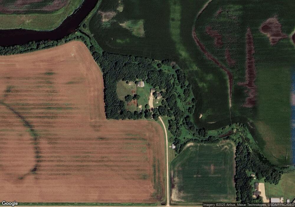
This home is located at 3386 395th St, Doran, MN 56522 and is currently estimated at $281,826, approximately $124 per square foot. 3386 395th St is a home located in Wilkin County with nearby schools including Campbell-Tintah Elementary School and Campbell-Tintah Secondary School.
Ownership History
Date
Name
Owned For
Owner Type
Purchase Details
Closed on
May 24, 2019
Sold by
Punt Eric J and Punt Anne
Bought by
Fitzgerald Casey
Current Estimated Value
Purchase Details
Closed on
Nov 3, 2008
Sold by
Berend Rachelle L
Bought by
Nelson Mitchell W and Nelson Rebecca A
Home Financials for this Owner
Home Financials are based on the most recent Mortgage that was taken out on this home.
Original Mortgage
$128,000
Interest Rate
6.09%
Mortgage Type
Stand Alone First
Create a Home Valuation Report for This Property
The Home Valuation Report is an in-depth analysis detailing your home's value as well as a comparison with similar homes in the area
Purchase History
| Date | Buyer | Sale Price | Title Company |
|---|---|---|---|
| Fitzgerald Casey | $194,400 | Nf Fields Abstract Co Llc | |
| Nelson Mitchell W | -- | -- |
Source: Public Records
Mortgage History
| Date | Status | Borrower | Loan Amount |
|---|---|---|---|
| Previous Owner | Nelson Mitchell W | $128,000 |
Source: Public Records
Tax History
| Year | Tax Paid | Tax Assessment Tax Assessment Total Assessment is a certain percentage of the fair market value that is determined by local assessors to be the total taxable value of land and additions on the property. | Land | Improvement |
|---|---|---|---|---|
| 2025 | $1,300 | $221,400 | $48,800 | $172,600 |
| 2024 | $1,300 | $210,600 | $42,000 | $168,600 |
| 2023 | $1,766 | $200,700 | $34,000 | $166,700 |
| 2022 | $1,154 | $189,000 | $34,000 | $155,000 |
| 2021 | $1,326 | $167,100 | $34,000 | $133,100 |
| 2020 | $1,396 | $169,100 | $31,000 | $138,100 |
| 2019 | $1,638 | $163,800 | $31,000 | $132,800 |
| 2018 | $1,568 | $157,200 | $31,000 | $126,200 |
| 2017 | $1,548 | $148,700 | $0 | $0 |
| 2016 | $1,576 | $0 | $0 | $0 |
| 2015 | $1,714 | $0 | $0 | $0 |
| 2014 | -- | $0 | $0 | $0 |
Source: Public Records
Map
Nearby Homes
- TBD County 8
- Tbd Lot Unit WP001
- 1464 W Lincoln Ave
- 1400 W Lincoln Ave
- 16145 County Highway 116
- XXXX 320th St
- 207 Lana Ct
- 736 Oak Trail
- 1121 Village Cir
- 1299 College Way
- 1241 College Way
- 1271 College Way
- 1020 Verlin Ln
- 1305 Jessie Ct
- 1211 S Martin St
- xxx S Us Hwy 59
- 20XX Fir Ave E
- 20xxx Copper Landing Dr
- 526 W Douglas Ave
- 911 W Cavour Ave
Your Personal Tour Guide
Ask me questions while you tour the home.