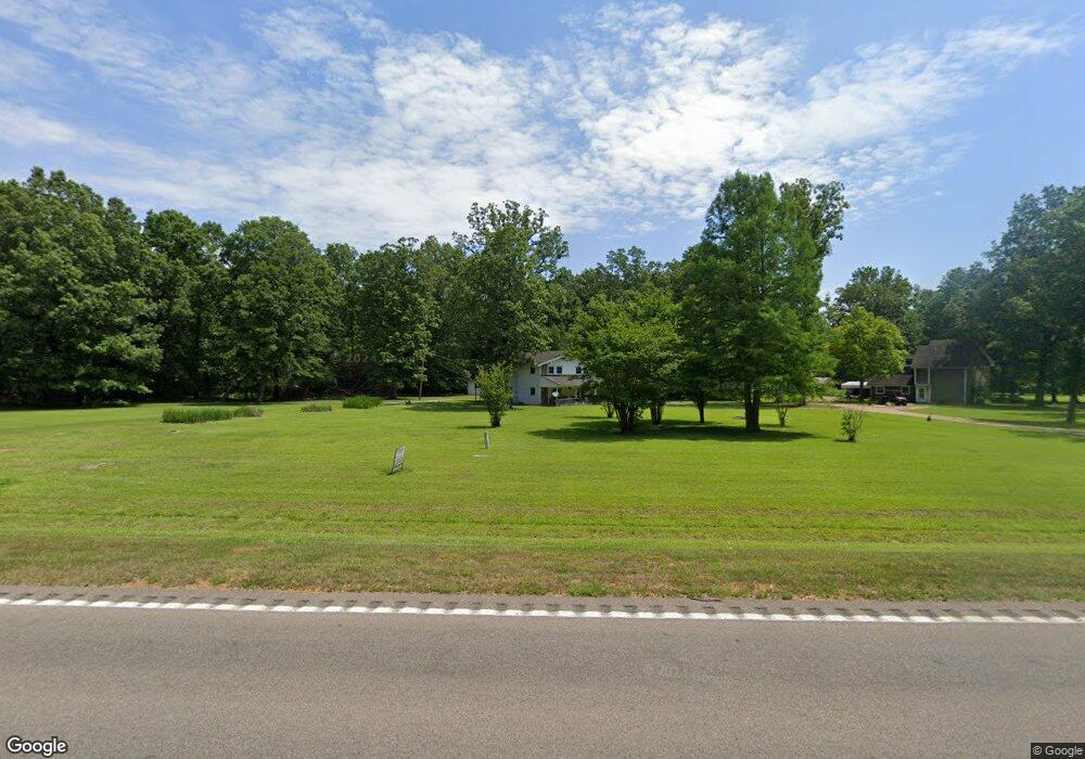
33861 Highway 50 E West Point, MS 39773
Estimated Value: $101,000 - $133,879
3
Beds
2
Baths
1,547
Sq Ft
$74/Sq Ft
Est. Value
About This Home
This home is located at 33861 Highway 50 E, West Point, MS 39773 and is currently estimated at $113,970, approximately $73 per square foot. 33861 Highway 50 E is a home located in Clay County with nearby schools including East Side Elementary School, West Clay Elementary School, and Church Hill Elementary School.
Ownership History
Date
Name
Owned For
Owner Type
Purchase Details
Closed on
Dec 17, 2014
Sold by
Ballard Alice Faye
Bought by
Wellman Amber and Schmidt Samantha
Current Estimated Value
Create a Home Valuation Report for This Property
The Home Valuation Report is an in-depth analysis detailing your home's value as well as a comparison with similar homes in the area
Home Values in the Area
Average Home Value in this Area
Purchase History
| Date | Buyer | Sale Price | Title Company |
|---|---|---|---|
| Wellman Amber | -- | -- |
Source: Public Records
Tax History Compared to Growth
Tax History
| Year | Tax Paid | Tax Assessment Tax Assessment Total Assessment is a certain percentage of the fair market value that is determined by local assessors to be the total taxable value of land and additions on the property. | Land | Improvement |
|---|---|---|---|---|
| 2024 | -- | $7,340 | $1,610 | $5,730 |
| 2023 | -- | $7,340 | $1,610 | $5,730 |
| 2022 | $0 | $7,340 | $1,610 | $5,730 |
| 2021 | $0 | $7,340 | $1,610 | $5,730 |
| 2020 | $0 | $7,340 | $1,610 | $5,730 |
| 2019 | $0 | $7,340 | $1,610 | $5,730 |
| 2018 | $0 | $7,340 | $1,610 | $5,730 |
| 2017 | $0 | $7,340 | $1,610 | $5,730 |
| 2016 | -- | $7,340 | $1,610 | $5,730 |
| 2015 | -- | $6,696 | $1,610 | $5,086 |
| 2014 | -- | $6,696 | $1,610 | $5,086 |
| 2013 | -- | $6,696 | $1,610 | $5,086 |
Source: Public Records
Map
Nearby Homes
- 164 Deer Run Rd
- 0 Riverchase Dr
- 120 Nelda Dr
- 1873 Sandy Land Rd
- 230 Acorn Aly
- 4595 Barton Ferry Rd
- 12 Clisby Rd
- 4 Clisby Rd
- 6 Clisby Rd
- 5 Clisby Rd
- 13 Clisby Rd
- 0 Pinkerton Rd
- 0 Dogwood Dr (Lot 21) Unit 24-279
- 0 Dogwood Dr (Lot 20) Unit 24-278
- 0 Dogwood Dr (Lot 14) Unit 24-277
- 0 Dogwood Dr
- 84 Waverly Dr
- 0 Clisby Rd
- 714 Herman Shirley Rd
- 5600 Old Vinton Rd Unit West Point MS 39773
- 33861 Mississippi 50
- 33773 Highway 50 E
- 319 Riverwood Dr
- 525 Riverwood Dr
- 2481 Old Tibbee Rd
- 2505 Old Tibbee Rd
- 475 Riverwood Dr
- 7107 Old Tibbee Rd
- 7378 Old Tibbee Rd
- 6375 Old Tibbee Rd
- 6351 Old Tibbee Rd
- 6413 Old Tibbee Rd
- 6339 Old Tibbee Rd
- 6430 Old Tibbee Rd
- 2425 Old Tibbee Rd
- 2441 Old Tibbee Rd
- 2559 Old Tibbee Rd
- 2535 Old Tibbee Rd
- 2332 Old Tibbee Rd
- 2302 Old Tibbee Rd