339 Clarence Norman Rd Moultrie, GA 31788
Estimated Value: $200,000 - $228,000
--
Bed
2
Baths
1,561
Sq Ft
$135/Sq Ft
Est. Value
About This Home
This home is located at 339 Clarence Norman Rd, Moultrie, GA 31788 and is currently estimated at $210,355, approximately $134 per square foot. 339 Clarence Norman Rd is a home located in Colquitt County with nearby schools including Odom Elementary School, Willie J. Williams Middle School, and C.A. Gray Junior High School.
Ownership History
Date
Name
Owned For
Owner Type
Purchase Details
Closed on
Feb 15, 2022
Sold by
Rodgers Joseph L
Bought by
Crumpton Blandon Fernanda S
Current Estimated Value
Purchase Details
Closed on
Jul 23, 2010
Sold by
Mackie Gary E
Bought by
Rodgers Joseph L and Rodgers Tasha T
Home Financials for this Owner
Home Financials are based on the most recent Mortgage that was taken out on this home.
Original Mortgage
$95,000
Interest Rate
5.12%
Mortgage Type
Future Advance Clause Open End Mortgage
Purchase Details
Closed on
Dec 17, 2002
Sold by
Mccorvey Randy
Bought by
Mackie Gary E
Purchase Details
Closed on
Jul 2, 2002
Sold by
Norman Richard R
Bought by
Mccorvey Randy
Create a Home Valuation Report for This Property
The Home Valuation Report is an in-depth analysis detailing your home's value as well as a comparison with similar homes in the area
Home Values in the Area
Average Home Value in this Area
Purchase History
| Date | Buyer | Sale Price | Title Company |
|---|---|---|---|
| Crumpton Blandon Fernanda S | $193,000 | -- | |
| Rodgers Joseph L | $115,000 | -- | |
| Mackie Gary E | $89,900 | -- | |
| Mccorvey Randy | $7,500 | -- |
Source: Public Records
Mortgage History
| Date | Status | Borrower | Loan Amount |
|---|---|---|---|
| Previous Owner | Rodgers Joseph L | $95,000 |
Source: Public Records
Tax History Compared to Growth
Tax History
| Year | Tax Paid | Tax Assessment Tax Assessment Total Assessment is a certain percentage of the fair market value that is determined by local assessors to be the total taxable value of land and additions on the property. | Land | Improvement |
|---|---|---|---|---|
| 2024 | $1,604 | $73,578 | $2,088 | $71,490 |
| 2023 | $1,552 | $58,600 | $2,088 | $56,512 |
| 2022 | $1,340 | $56,266 | $1,855 | $54,411 |
| 2021 | $1,226 | $50,482 | $1,855 | $48,627 |
| 2020 | $1,248 | $50,482 | $1,855 | $48,627 |
| 2019 | $1,143 | $41,595 | $1,855 | $39,740 |
| 2018 | $1,064 | $41,595 | $1,855 | $39,740 |
| 2017 | $1,161 | $42,671 | $2,931 | $39,740 |
| 2016 | $1,177 | $42,671 | $2,931 | $39,740 |
| 2015 | $1,188 | $42,671 | $2,931 | $39,740 |
| 2014 | $1,165 | $42,671 | $2,931 | $39,740 |
| 2013 | -- | $42,671 | $2,931 | $39,740 |
Source: Public Records
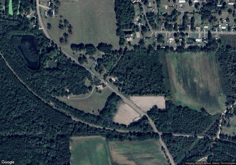
Map
Nearby Homes
- 292 Robin Ln
- 157 Quail Ridge
- 2332 Georgia 37
- 1113 Georgia 133
- 0 Sardis Church Rd
- 0 Doc Darbyshire Rd
- LL261 Rowland Dr
- 1716 5th Ave SE
- 1406 3rd Ave SE
- 1312 Overlook Dr
- 270 Old Timey Trail
- 1021 11th Ave SE
- 0 Mark Orton Ln
- 209 Cherokee Dr
- 0 Old Norman Park Rd
- 273 Seminole Dr
- 717 5th Ave SE
- 619 E Central Ave
- 410 Indian Trail
- 521 5th Ave SE Unit 4
- 295 Clarence Norman Rd
- 324 Clarence Norman Rd
- 319 Clarence Norman Rd
- 253 Mark Ln
- 245 Mark Ln
- 271 Mark Ln
- 225 Mark Ln
- 3979 Ga Highway 37 E
- 256 Clarence Norman Rd
- 238 Mark Ln
- 213 Mark Ln
- 259 Sunset Ln
- 224 Mark Ln
- 201 Mark Ln
- 270 Sunset Ln
- 212 Mark Ln
- 3234 Ga Highway 37 E
- 256 Sunset Ln
- 239 Sunset Ln
- 189 Mark Ln